Dry Maars · Undated
Hengstweiler Maar


© GeoBasis-DE / LVermGeoRP, dl-de/by-2-0
There is no picture of this object yet. Do you have a photo that you would like to make available to the Kulturdatenbank? Submit a picture
Description
This description is only available in German.
Translate with Google opens this page in Google Translate (external service)
[...] Krämer konnte nachweisen, dass es sich um ein Maar handelt, das er Hengstweiler Maar nannte. Es hat die vulkanologischen Abmessungen: Durchmesser 800 mal 650m, Tiefe 60m (Noll 1967a:11). Tuffe finden sich westlich, nordöstlich und nordwestlich des Hengstweiler Maars in isolierten Flecken. [...]
[Meyer: Geologie der Eifel.]
Classification
- Subject area
- Natural Features
- Category
- Maars
- Object type
- Dry Maars
- Date
- Undatiert
- Period
- Undated
Location
- District
- Vulkaneifel
- Collective municipality
- Gerolstein
- Municipality
- Neroth
- Locality / location
- Standortschießanlage
- Field name
- In Hengstweiler
- Coordinates
- WGS 84: 50.200126, 6.728093 (Position: exact) WGS 84: 50° 12′ 00.5″ N, 6° 43′ 41.1″ E UTM 32 (ETRS89): E 337864 · N 5563352
Sources
Data sources
On the internet
Last edited: 13 Aug 2011 Object ID: 23394
https://kulturdb.de/en/objekt/23394-neroth-hengstweiler-maar
Nearby
The nearest objects
Volcanoes
Vulkan Hengstweiler Maar
Deserted Settlements
Wüstung Hengstweiler
Shooting Ranges
Standortschießanlage Gees
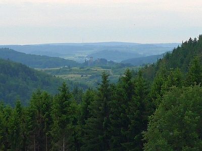 340 m
Viewpoints
Aussichtspunkt an der Schießanlage Gees
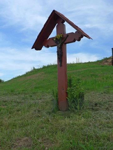 350 m
Wayside Shrines and Stations of the Cross
Kreuz am Aussichtspunkt Schießanlage
Field Names
In der Gruf
Field Names
Am Wilbertsborn
Field Names