Shooting Ranges · 20th Century
Standortschießanlage Gees


© GeoBasis-DE / LVermGeoRP, dl-de/by-2-0
There is no picture of this object yet. Do you have a photo that you would like to make available to the Kulturdatenbank? Submit a picture
Classification
- Subject area
- Architectural and Art Monuments
- Object type
- Shooting Ranges
- Date
- 1975
- Period
- 20th Century
Location
- District
- Vulkaneifel
- Town
- Gerolstein
- Locality / location
- Gees
- Field name
- In der Hengsterwies
- Coordinates
- WGS 84: 50.201268, 6.724774 (Position: exact) WGS 84: 50° 12′ 04.6″ N, 6° 43′ 29.2″ E UTM 32 (ETRS89): E 337631 · N 5563486
Sources
Data sources
- [1] Topographische Karte 1:25000 von 1975 https://geo4.service24.rlp.de/client/lf/lawa/
On the internet
Last edited: 1 Nov 2023 Object ID: 53037
https://kulturdb.de/en/objekt/53037-gerolstein-standortschiessanlage-gees
Nearby
The nearest objects
No picture
220 m
Deserted Settlements
Wüstung Hengstweiler
No picture
250 m
Volcanoes
Vulkan Hengstweiler Maar
No picture
270 m
Dry Maars
Hengstweiler Maar
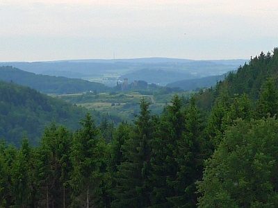 600 m
Viewpoints
Aussichtspunkt an der Schießanlage Gees
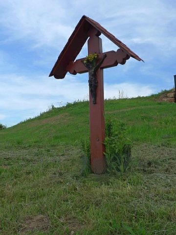 610 m
Wayside Shrines and Stations of the Cross
Kreuz am Aussichtspunkt Schießanlage
No picture
760 m
Field Names
Am Wilbertsborn
No picture
810 m
Field Names
In der Nachtweid an der Sandkaul
No picture
890 m
Field Names