Surveying · Undated
Grenzstein - Königlicher Wald


Description
This description is only available in German.
Translate with Google opens this page in Google Translate (external service)
[...] Wolfgang Forthofer aus Bexbach hat nunmehr - dankenswerterweise - das Rätsel gelöst. Wie schon zuvor angenommen, bekräftigt er, dass KW für "königlicher Wald" steht. [1]
Classification
- Subject area
- Architectural and Art Monuments
- Category
- Markers and Monuments
- Object type
- Surveying
- Date
- Undatiert
- Period
- Undated
Location
- District
- Vulkaneifel
- Collective municipality
- Gerolstein
- Municipality
- Üxheim
- Locality / location
- Ahütte
- Field name
- Dreimüllerwald/In der Kammer
- Coordinates
- WGS 84: 50.323951, 6.767331 (Position: exact) WGS 84: 50° 19′ 26.2″ N, 6° 46′ 02.4″ E UTM 32 (ETRS89): E 341076 · N 5577034
Sources
Data sources
On the internet
hillesheim.org/geopfad/gpindex.htm
Picture credits
Last edited: 7 Oct 2003 Object ID: 22898
https://kulturdb.de/en/objekt/22898-uexheim-grenzstein-koeniglicher-wald
Nearby
The nearest objects
Rocks
Dreimühlen Wasserfall und Marmorwand
Find Sites
Römische Fundstelle
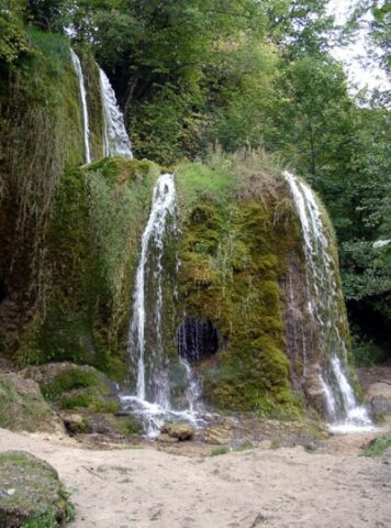 130 m
Geological Features
Dreimühlen Wasserfall und Marmorwand
Settlements
Prähistorische Keramikscherben
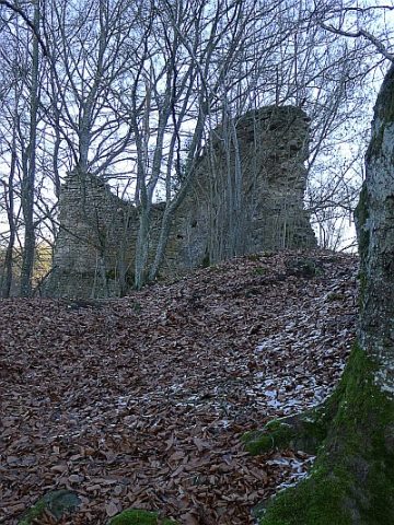 290 m
Deserted Settlements
Burgwüstung Dreimühlen
Field Names
In der Ehe
Field Names
Auf den vier Morgen
Field Names