Deserted Settlements · Gothic
Burgwüstung Dreimühlen
Wüstung


Description
This description is only available in German.
Translate with Google opens this page in Google Translate (external service)
Balduinus de Drinmuleim als Lehnsmann der Abtei zu Sankt Maximin zu Trier. 1809 / 10 zeigt die Tranchot-Karte nur noch die Ruine Treymühl und den Waldnamen Treymülnerbusch. [1]
Classification
- Subject area
- Archaeological Monuments
- Category
- Settlements
- Object type
- Deserted Settlements
- Date
- Anfang 13. Jahrhundert
- Period
- Gothic
Location
- District
- Vulkaneifel
- Collective municipality
- Gerolstein
- Municipality
- Üxheim
- Locality / location
- Ahütte
- Field name
- In der Dreimüllerwies
- Coordinates
- WGS 84: 50.326232, 6.769292 (Position: exact) WGS 84: 50° 19′ 34.4″ N, 6° 46′ 09.5″ E UTM 32 (ETRS89): E 341223 · N 5577283
Sources
Data sources
- [1] Janssen, W.: Studien zur Wüstungsfrage im fränkischen Altsiedelland zwischen Rhein, Mosel und Eifelnordrand. 2 Bände. Text u. Katalog, 1975.
On the internet
Picture credits
Last edited: 26 Oct 2017 Object ID: 952
https://kulturdb.de/en/objekt/952-uexheim-burgwuestung-dreimuehlen
Nearby
The nearest objects
Settlements
Prähistorische Keramikscherben
 170 m
Geological Features
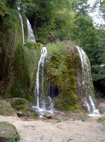
Dreimühlen Wasserfall und Marmorwand
Find Sites
Römische Fundstelle
Rocks
Dreimühlen Wasserfall und Marmorwand
 290 m
Surveying
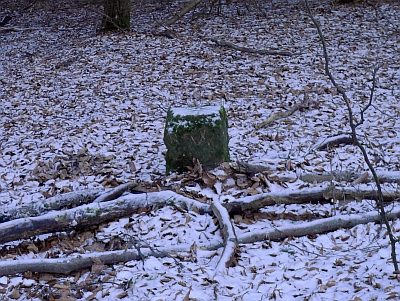
Grenzstein - Königlicher Wald
Field Names
In der Ehe
Field Names
In der Mühlendell
Field Names