Rocks · Undated
Dreimühlen Wasserfall und Marmorwand
Naturdenkmal
- Listed monument


© GeoBasis-DE / LVermGeoRP, dl-de/by-2-0
There is no picture of this object yet. Do you have a photo that you would like to make available to the Kulturdatenbank? Submit a picture
Classification
- Subject area
- Natural Features
- Category
- Rocks
- Date
- Undatiert
- Period
- Undated
Location
- District
- Vulkaneifel
- Collective municipality
- Gerolstein
- Municipality
- Üxheim
- Locality / location
- Ahütte
- Field name
- Dreimüllerwald
- Coordinates
- WGS 84: 50.324610, 6.766820 (Position: exact) WGS 84: 50° 19′ 28.6″ N, 6° 46′ 00.6″ E UTM 32 (ETRS89): E 341042 · N 5577108
Sources
Data sources
- [1] LANIS - Landschaftsinformationssysten der Naturschutzverwaltung Rheinland-Pfalz, 2015. http://www.naturschutz.rlp.de/?q=naturdenkmal
On the internet
Last edited: 12 May 2015 Object ID: 24006
https://kulturdb.de/en/objekt/24006-uexheim-dreimuehlen-wasserfall-und-marmorwand
Nearby
The nearest objects
No picture
50 m
Find Sites
Römische Fundstelle
 80 m
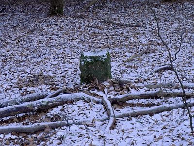
Surveying
Grenzstein - Königlicher Wald
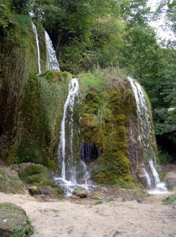 130 m
Geological Features
Dreimühlen Wasserfall und Marmorwand
No picture
140 m
Settlements
Prähistorische Keramikscherben
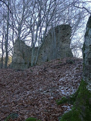 250 m
Deserted Settlements
Burgwüstung Dreimühlen
No picture
390 m
Field Names
Auf den vier Morgen
No picture
460 m
Field Names
In der Ehe
No picture
640 m
Field Names