Field Names · Undated
Jenseits der Gemeindewies zu Senheld


© GeoBasis-DE / LVermGeoRP, dl-de/by-2-0
There is no picture of this object yet. Do you have a photo that you would like to make available to the Kulturdatenbank? Submit a picture
Description
This description is only available in German.
Translate with Google opens this page in Google Translate (external service)
Classification
- Subject area
- History
- Category
- Field Names
- Date
- Undatiert
- Period
- Undated
Location
- District
- Vulkaneifel
- Collective municipality
- Daun
- Municipality
- Mehren
- Field name
- Jenseits der Gemeindewies zu Senheld
- Coordinates
- WGS 84: 50.176814, 6.865989 (Position: exact) WGS 84: 50° 10′ 36.5″ N, 6° 51′ 57.6″ E UTM 32 (ETRS89): E 347630 · N 5560470
Sources
Data sources
- [1] Dittmaier, Heinrich: Rheinische Flurnamen. Ludwig Röhrscheid Verlag, Bonn, 1963.
- [2] Kristin Gresse: Analyse der Flurnamen im Westerwald anhand des Beispiels Rückroth. Erfurt, 2013 http://www.rueckeroth.de/mediapool/63/630397/data/Kristin_Gresse_Ha…
On the internet
Last edited: 31 Oct 2022 Object ID: 40228
https://kulturdb.de/en/objekt/40228-mehren-jenseits-der-gemeindewies-zu-senheld
Nearby
The nearest objects
Field Names
Auf dem Falgersborn
Extraction and Processing of Raw Materials
Mühlsteinbruch Auf der Ley
Field Names
Unter Sehnheld
Field Names
Auf Senheld
Extraction and Processing of Raw Materials
Ehemalige Kiesgrube
 520 m
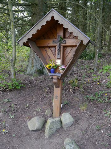
Wayside Shrines and Stations of the Cross
Stolz-Kreuz
 570 m
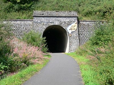
Railways
Tunnelportal Großes Schlitzohr
Peat Cuttings