Extraction and Processing of Raw Materials · Undated
Mühlsteinbruch Auf der Ley


© GeoBasis-DE / LVermGeoRP, dl-de/by-2-0
There is no picture of this object yet. Do you have a photo that you would like to make available to the Kulturdatenbank? Submit a picture
Description
This description is only available in German.
Translate with Google opens this page in Google Translate (external service)
Fundort: 107. Basaltische Schlacken und Lava. Gestein: Nephelinit. [1]
Classification
- Subject area
- Architectural and Art Monuments
- Category
- Economy, Trade and Transport
- Object type
- Extraction and Processing of Raw Materials
- Date
- Undatiert
- Period
- Undated
Location
- District
- Vulkaneifel
- Collective municipality
- Daun
- Municipality
- Schalkenmehren
- Field name
- Auf der Lay
- Coordinates
- WGS 84: 50.174728, 6.863121 (Position: exact) WGS 84: 50° 10′ 29.0″ N, 6° 51′ 47.2″ E UTM 32 (ETRS89): E 347418 · N 5560244
Sources
Data sources
- [1] Fridolin Hörter: Getreidereiben und Mühlsteine aus der Eifel. Ein Beitrag zur Steinbruch- und Mühlengeschichte. Geschichts- und Altertumsverein für Mayen und Umgebung, 1994. ISBN:3-930821-12-5 http://www.gavmayen.de/gav-der-verein.html
On the internet
Last edited: 28 Mar 2012 Object ID: 24200
https://kulturdb.de/en/objekt/24200-schalkenmehren-muehlsteinbruch-auf-der-ley
Nearby
The nearest objects
Extraction and Processing of Raw Materials
Ehemalige Kiesgrube
 210 m
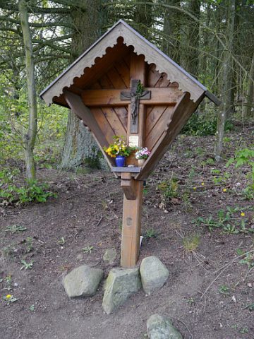
Wayside Shrines and Stations of the Cross
Stolz-Kreuz
Field Names
Jenseits der Gemeindewies zu Senheld
Field Names
Auf dem Falgersborn
 320 m
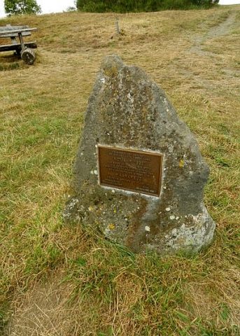
Monuments
Maarkreuz - Gedenkstein
 320 m
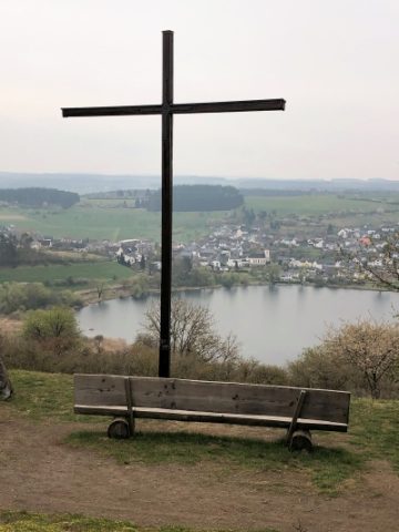
Viewpoints
Aussichtspunkt Maarkreuz
 330 m
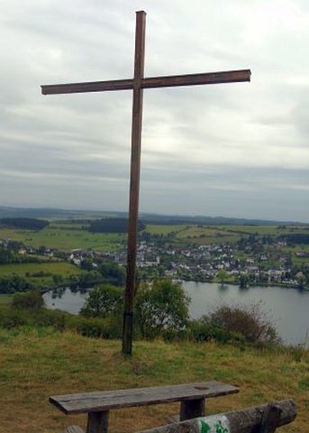
Wayside Shrines and Stations of the Cross
Maarkreuz
Peat Cuttings