Viewpoints · Undated
Aussichtspunkt Maarkreuz


Description
This description is only available in German.
Translate with Google opens this page in Google Translate (external service)
Auf Höhenpunkt 534,5 Meter über NHN.
[...] Wenn der heutige Standort des Maarkreuzes auch nicht mehr der ursprüngliche ist, er bietet dem Wanderer einen erholsamen Ruheplatz und einen phantastischen Ausblick auf das Schalkenmehrener Maar und die weite Vulkanlandschaft. [1]
Classification
- Subject area
- Natural Features
- Category
- Viewpoints
- Date
- Undatiert
- Period
- Undated
Location
- District
- Vulkaneifel
- Collective municipality
- Daun
- Municipality
- Schalkenmehren
- Field name
- Auf der langen Fuhr
- Coordinates
- WGS 84: 50.174718, 6.858590 (Position: exact) WGS 84: 50° 10′ 29.0″ N, 6° 51′ 30.9″ E UTM 32 (ETRS89): E 347095 · N 5560252
Sources
Data sources
- []1 Hartmut Flothmann (Schalkenmehren): Auf den Spuren der Bildstöcke und Motivkreuze in Schalkenmehren
- - Kleine Kulturdenkmale am Wegesrand. http://www.jahrbuch-vulkaneifel.de/ Jahrbuch 2009.
On the internet
Picture credits
Last edited: 11 May 2021 Object ID: 18448
https://kulturdb.de/en/objekt/18448-schalkenmehren-aussichtspunkt-maarkreuz
Nearby
The nearest objects
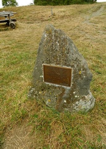 less than 10 m
Monuments
Maarkreuz - Gedenkstein
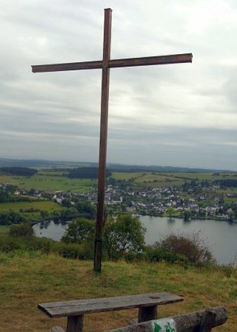 less than 10 m
Wayside Shrines and Stations of the Cross
Maarkreuz
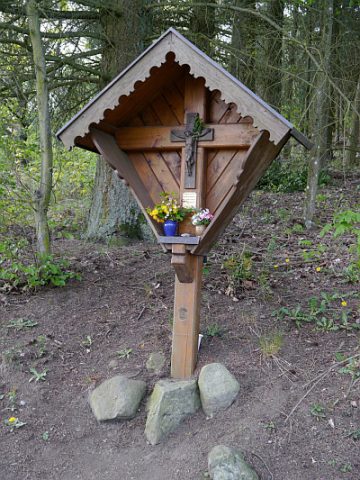 250 m
Wayside Shrines and Stations of the Cross
Stolz-Kreuz
Extraction and Processing of Raw Materials
Ehemalige Kiesgrube
Extraction and Processing of Raw Materials
Mühlsteinbruch Auf der Ley
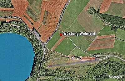 430 m
Deserted Settlements
Wüstung Weinfeld
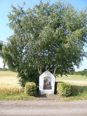 430 m
Wayside Shrine Houses
Mehrener Bildchen (1)
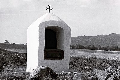 430 m
Wayside Shrine Houses