Wayside Shrines and Stations of the Cross · 20th Century
Stolz-Kreuz


Description
This description is only available in German.
Translate with Google opens this page in Google Translate (external service)
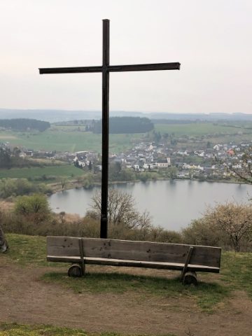
Das nördlich des Schalkenmehrener Maares in der Nähe der Schutzhütte und am mittleren Maarrundweg stehende Holzkreuz wurde 1999 durch Karl-Heinz Stolz errichtet. [1]
Classification
- Subject area
- Architectural and Art Monuments
- Category
- Religious Buildings
- Object type
- Wayside Shrines and Stations of the Cross
- Date
- 1999
- Period
- 20th Century
Location
- District
- Vulkaneifel
- Collective municipality
- Daun
- Municipality
- Schalkenmehren
- Field name
- In dem Fahrtal
- Coordinates
- WGS 84: 50.173258, 6.861199 (Position: exact) WGS 84: 50° 10′ 23.7″ N, 6° 51′ 40.3″ E UTM 32 (ETRS89): E 347276 · N 5560084
Sources
Data sources
- [1] Friedbert Wißkirchen, Daun, 2014.
On the internet
Picture credits
Last edited: 23 Apr 2014 Object ID: 26299
https://kulturdb.de/en/objekt/26299-schalkenmehren-stolz-kreuz
Nearby
The nearest objects
Extraction and Processing of Raw Materials
Ehemalige Kiesgrube
Extraction and Processing of Raw Materials
Mühlsteinbruch Auf der Ley
 250 m
Monuments
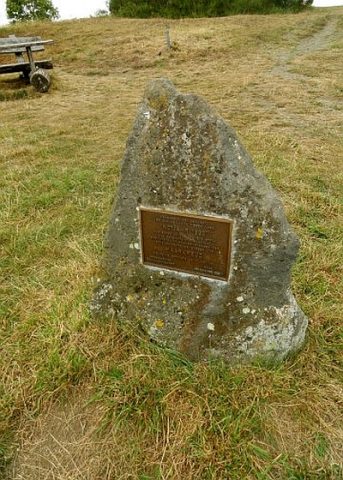
Maarkreuz - Gedenkstein
 250 m
Viewpoints
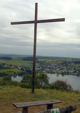
Aussichtspunkt Maarkreuz
 250 m
Wayside Shrines and Stations of the Cross
Maarkreuz
Peat Cuttings
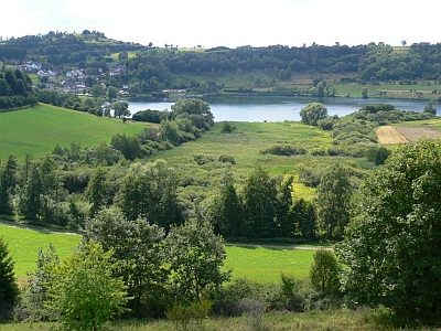
Ehemaliger Torfabbau am Schalkenmehrener Maar
 440 m
Peat Cuttings
Ehemaliger Torfstich am Schalkenmehrener Maar
440 m
Dry Maars