Monuments · 20th Century
Maarkreuz - Gedenkstein


Description
This description is only available in German.
Translate with Google opens this page in Google Translate (external service)
Auf Höhenpunkt 534,5 Meter über Normal-Null.
Die Gedenktafel lautet:
Maarkreuz sei genannt – uns zum Heil – und diesem Land "NOTJAHR 1932". Aus Sorge um das tägliche Brot – als Bekenntnis zur Heimat errichteten 57 Männer im Namen der Schalkenmehrener Bürger das MAARKREUZ. Die Weihe erfolgte am 19. Juni 1932. Ortsgemeinde Schalkenmehren. Gestiftet Volksbank Daun.
Classification
- Subject area
- History
- Category
- Markers and Monuments
- Object type
- Monuments
- Date
- 1932
- Period
- 20th Century
Location
- District
- Vulkaneifel
- Collective municipality
- Daun
- Municipality
- Schalkenmehren
- Field name
- Auf der langen Fuhr
- Coordinates
- WGS 84: 50.174725, 6.858609 (Position: exact) WGS 84: 50° 10′ 29.0″ N, 6° 51′ 31.0″ E UTM 32 (ETRS89): E 347096 · N 5560253
Sources
Data sources
- Hartmut Flothmann (Schalkenmehren): Auf den Spuren der Bildstöcke und Motivkreuze in Schalkenmehren
- - Kleine Kulturdenkmale am Wegesrand. http://www.jahrbuch-vulkaneifel.de/ Jahrbuch 2009.
On the internet
Picture credits
Last edited: 26 Sep 2012 Object ID: 25186
https://kulturdb.de/en/objekt/25186-schalkenmehren-maarkreuz-gedenkstein
Nearby
The nearest objects
 less than 10 m
Viewpoints
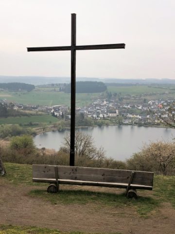
Aussichtspunkt Maarkreuz
 less than 10 m
Wayside Shrines and Stations of the Cross
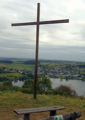
Maarkreuz
 250 m
Wayside Shrines and Stations of the Cross
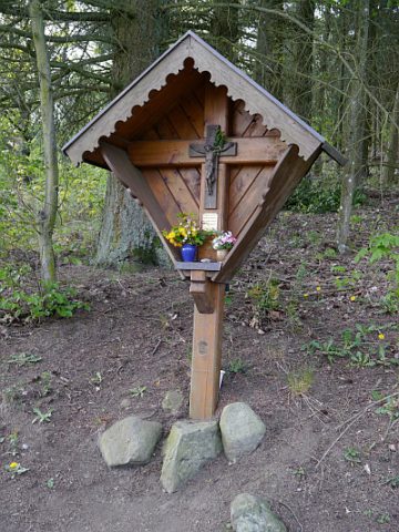
Stolz-Kreuz
Extraction and Processing of Raw Materials
Ehemalige Kiesgrube
Extraction and Processing of Raw Materials
Mühlsteinbruch Auf der Ley
 430 m
Deserted Settlements
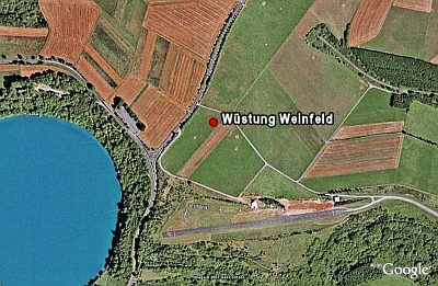
Wüstung Weinfeld
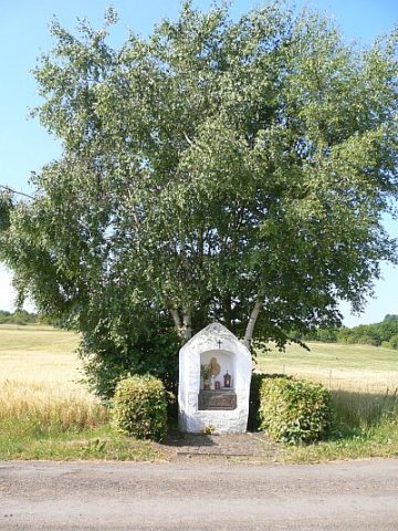 430 m
Wayside Shrine Houses
Mehrener Bildchen (1)
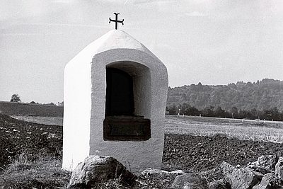 430 m
Wayside Shrine Houses