Town Fortifications · Gothic
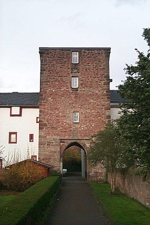
Eckturm
- Listed monument


© GeoBasis-DE / LVermGeoRP, dl-de/by-2-0
There is no picture of this object yet. Do you have a photo that you would like to make available to the Kulturdatenbank? Submit a picture
Description
This description is only available in German.
Translate with Google opens this page in Google Translate (external service)
Rest des nordöstlichen Eckturms der ehemalien erzbischöflichen Burg. [2]
Classification
- Subject area
- Architectural and Art Monuments
- Object type
- Town Fortifications
- Date
- Um 1131–52
- Period
- Gothic
Location
- District
- City of Trier
- Collective municipality
- Verbandsfreie Gemeinde Trier
- Town
- Trier
- Locality / location
- Pfalzel
- Street
- Kirchplatz 4
- Field name
- Ortslage
- Coordinates
- WGS 84: 49.780840, 6.694330 (Position: exact) WGS 84: 49° 46′ 51.0″ N, 6° 41′ 39.6″ E UTM 32 (ETRS89): E 334017 · N 5516815
Sources
Data sources
- [1] Plan der Ortsbefestigung Pfalzel. In: Wackenroder, Ernst / Neu, Heinrich: Kunstdenkmäler des Landkreises Trier. Düsseldorf 1936. Aufmessung und Zeichnung (1935) von Architekt Franz Krause nach einem Plan des Geh. Reg.- und Baurats A. v. Behr und in Verbindung mit Dipl.-Ing. K. Nagel und Dr. E. Wackenroder.
- [2] Seite „Liste der Kulturdenkmäler in Trier-Pfalzel“. In: Wikipedia, Die freie Enzyklopädie. Bearbeitungsstand: 17. Januar 2018, 10:52 UTC. URL: https://de.wikipedia.org/w/index.php?title=Liste_der_Kulturdenkm%C3… (Abgerufen: 18. Dezember 2018, 14:30 UTC)
On the internet
Last edited: 24 Sep 2018 Object ID: 47964
https://kulturdb.de/en/objekt/47964-trier-eckturm
Nearby
The nearest objects
 20 m
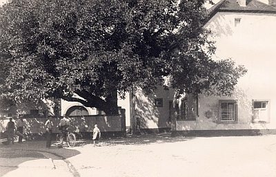
Walnut Trees
Ehemaliger Nussbaum
 20 m
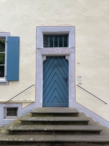
Inscriptions
Ehemalige Stiftskurie - Inschrift Hauseingang
Town Fortifications
Treppenturm
 20 m
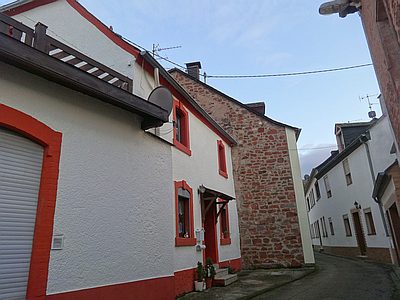
Town Houses and Commercial Buildings
Wohnhaus
 20 m
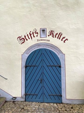
Inscriptions
Ehemalige Stiftskurie - Inschrift Kellereingang
 20 m
Castles
Denkmalzone ehemalige erzbischöfliche Burg
Town Fortifications
Bergfried
 20 m
Canons' Houses (Curiae)