Town Fortifications · Undated
Bergfried
- Listed monument


© GeoBasis-DE / LVermGeoRP, dl-de/by-2-0
There is no picture of this object yet. Do you have a photo that you would like to make available to the Kulturdatenbank? Submit a picture
Description
This description is only available in German.
Translate with Google opens this page in Google Translate (external service)
Im Vorgarten von Burgstraße 10 Reste des wohl auf römischen Fundamenten aufbauenden Bergfrieds. [2]
Classification
- Subject area
- Architectural and Art Monuments
- Object type
- Town Fortifications
- Date
- Undatiert
- Period
- Undated
Location
- District
- City of Trier
- Collective municipality
- Verbandsfreie Gemeinde Trier
- Town
- Trier
- Locality / location
- Pfalzel
- Street
- Burgstraße 10
- Field name
- Ortslage
- Coordinates
- WGS 84: 49.780630, 6.694360 (Position: exact) WGS 84: 49° 46′ 50.3″ N, 6° 41′ 39.7″ E UTM 32 (ETRS89): E 334018 · N 5516791
Sources
Data sources
- [1] Plan der Ortsbefestigung Pfalzel. In: Wackenroder, Ernst / Neu, Heinrich: Kunstdenkmäler des Landkreises Trier. Düsseldorf 1936. Aufmessung und Zeichnung (1935) von Architekt Franz Krause nach einem Plan des Geh. Reg.- und Baurats A. v. Behr und in Verbindung mit Dipl.-Ing. K. Nagel und Dr. E. Wackenroder.
- [2] Seite „Liste der Kulturdenkmäler in Trier-Pfalzel“. In: Wikipedia, Die freie Enzyklopädie. Bearbeitungsstand: 17. Januar 2018, 10:52 UTC. URL: https://de.wikipedia.org/w/index.php?title=Liste_der_Kulturdenkm%C3… (Abgerufen: 18. Dezember 2018, 14:30 UTC)
On the internet
Last edited: 18 Dec 2018 Object ID: 47966
https://kulturdb.de/en/objekt/47966-trier-bergfried
Nearby
The nearest objects
 less than 10 m
Castles
Denkmalzone ehemalige erzbischöfliche Burg
Town Fortifications
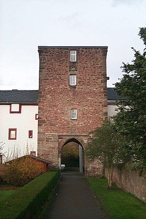
Treppenturm
Canons' Houses (Curiae)
Ehemalige Stiftskurien
 20 m
Mills
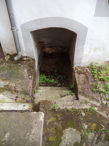
Stiftsmühle - Einstieg in den Mühldeich
Town Fortifications
Eckturm
 30 m
Town Fortifications
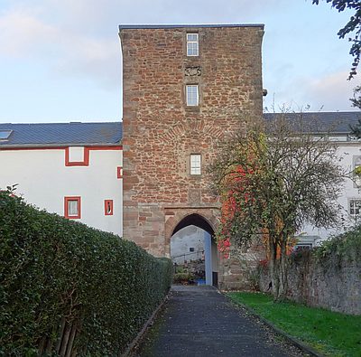
Torturm der Burg
 30 m
Inscriptions
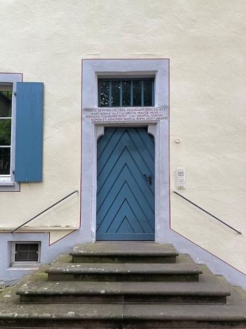
Ehemalige Stiftskurie - Inschrift Kellereingang
 30 m
Inscriptions