Kordel
1,096 heritage sites in Kordel in the Kulturdatenbank Region Trier.
The map shows all 1,096 results.
-
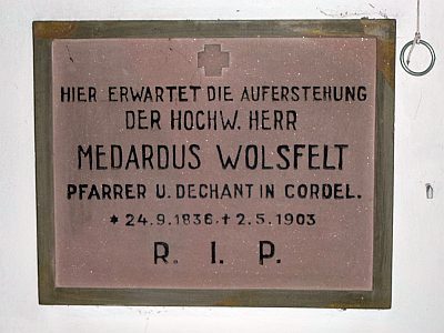
Sankt Amandus u. Sankt Vedastus - Inschriften
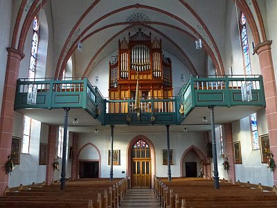
Katholische Pfarrkirche
Markers and Monuments Inscriptions ID 47943
-
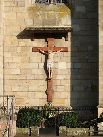
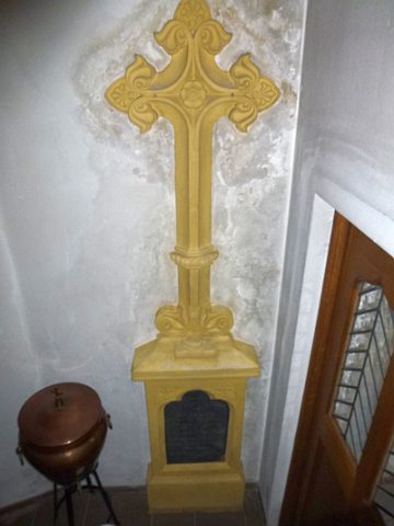
Sankt Amandus u. Sankt Vedastus - Missionskreuz
Religious Buildings Wayside Shrines and Stations of the Cross ID 10659
-
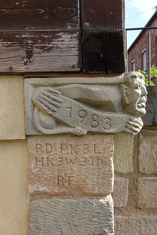
Sankt Amandus u. Sankt Vedastus - Männchen
Katholische Pfarrkirche
Religious Buildings Works of Art ID 33140
-
Sankt Amandus u. Sankt Vedastus - Pfarrergrabstein
Katholische Pfarrkirche
Religious Buildings Burial Sites ID 33128
-
Sankt Amandus u. Sankt Vedastus - Pfarrergrabstein
Katholische Pfarrkirche
Religious Buildings Burial Sites ID 33129
-
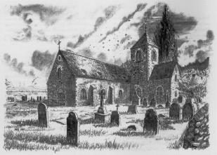
Sankt Amandus u. Sankt Vedastus - Pfarrgeschichte
Katholische Pfarrkirche
Religious Buildings Catholic Churches ID 18296
-
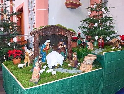
Sankt Amandus u. Sankt Vedastus - Weihnachtskrippe
Katholische Pfarrkirche
Religious Buildings Nativity Scenes ID 55150
-
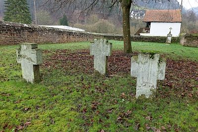
Sankt Amandus u. Sankt Vedastus - ehem. Friedhof
Katholische Pfarrkirche
Parks, Gardens and Cemeteries Christian Cemeteries ID 40501
-
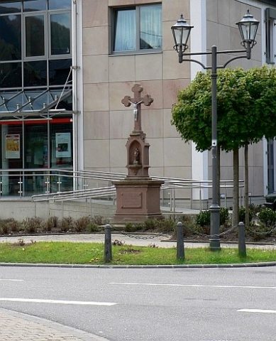
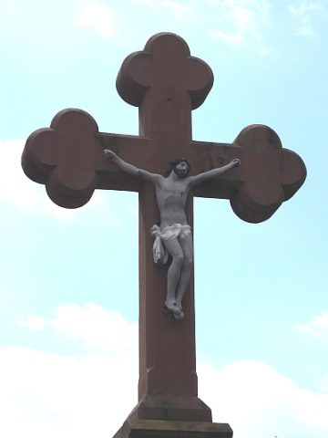
Sankt Josef-Kreuz
3. Station des Fußfallkreuzwegs
Religious Buildings Wayside Shrines and Stations of the Cross ID 4019
-
Sankt Josef-Kreuz - Ehemaliger Standort
3. Station des Fußfallkreuzwegs
Religious Buildings Wayside Shrines and Stations of the Cross ID 52969
-
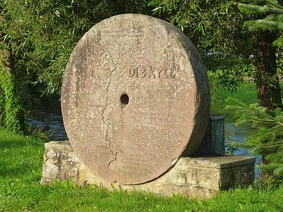
Schleifstein-Denkmal an der Kyllbrücke
Markers and Monuments Monuments ID 2465
-
Schlimmfuhr
Field Names ID 27969
-
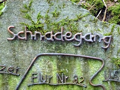
Schnadegang-Stein
Markers and Monuments Surveying ID 18930
-
Schottlerspesch
Field Names ID 18664
-
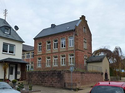
Schulgebäude
Educational Institutions Schools ID 35503
-
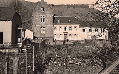
Schulgebäude - Historische Aufnahmen
Educational Institutions Schools ID 49314
-
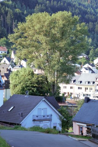
Schwarz-Pappel an der Kyll
Trees Poplars ID 48039
-
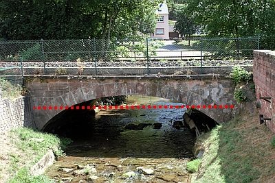
Schwarzer Punkt - Ehemalige Hochwassermarke
Markers and Monuments Flood Marks ID 47902
-
Sogenannter Russenweg
Place Names / Local History Street Names ID 35508
-
Sogenanntes Hunenkreuz
Religious Buildings Wayside Shrines and Stations of the Cross ID 10017
-
Sogenanntes Veltenkreuz (1)
Nischenkreuz am Kimmlinger Bach
Religious Buildings Wayside Shrines and Stations of the Cross ID 4021
-
Sogenanntes Veltenkreuz (2)
Nischenkreuz am Kimmlinger Bach
Religious Buildings Wayside Shrines and Stations of the Cross ID 35518
-
Spang's Garten
Historic Townscapes ID 47980
-
Spierenweg
Economy, Trade and Transport Road Transport ID 44207
-
Spätrömische Langmauertrasse im Friedbüsch
Fortifications and Military Sites Roman Long Wall ID 41400
-
Spätrömische Langmauertrasse im Friedbüsch
Fortifications and Military Sites Roman Long Wall ID 41401
-
Stadtfelder
Field Names ID 18351
-
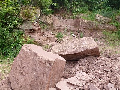
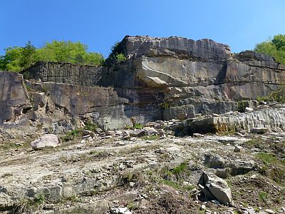
Steinbruch Im Butzerberg
Economy, Trade and Transport Extraction and Processing of Raw Materials ID 18945
-
Steinbruch am Steinkopf
Economy, Trade and Transport Extraction and Processing of Raw Materials ID 18952
-
Steinbruch auf dem Römerberg - Fundstelle
Settlements Find Sites ID 12203
-
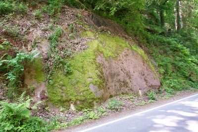
Straßenanschnitt an der Kreisstraße 22
Geological Features ID 40949
-
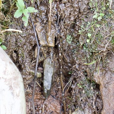
Sturzquelle in ehem. Steinbruch südl. Reitzenmühle
Springs ID 40479
-
Trigonometrischer Punkt an der Pfarrkirche
Markers and Monuments Surveying ID 47990
-
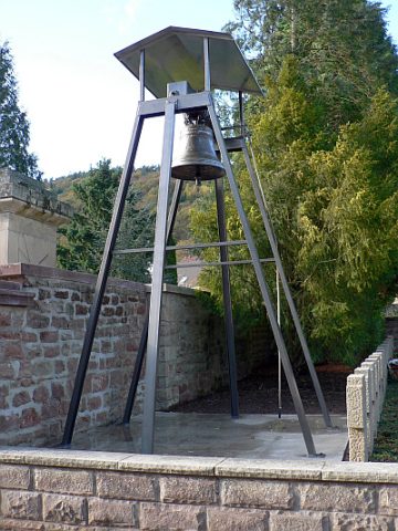
Turm mit Sankt-Amandus-Glocke
Religious Buildings Bell Towers ID 39088
-
Unfallkreuz
Religious Buildings Wayside Shrines and Stations of the Cross ID 10664
-
Unten auf dem Kreuzfeld
Field Names ID 42737
-
Unten auf dem Sabel
Field Names ID 38983
-
Unten im Latzenberg
Field Names ID 38964
-
Unter Dalien
Field Names ID 18604
-
Unter Kaderichswies
Field Names ID 18363
-
Unter Kobengründchen
Field Names ID 18361
-
Unter dem Pfahl
Field Names ID 38659
-
Unter der Tauer
Field Names ID 18324
-
Villa Jacob Lieser
Residential and Farm Buildings Town Houses and Commercial Buildings ID 10176
-
Vogelskreuz
7. Station des Fußfallkreuzwegs
Religious Buildings Wayside Shrines and Stations of the Cross ID 3558
-
Vogelskreuz - Alter Grenzstein
Markers and Monuments Surveying ID 47936