Bitburger Land
3,990 heritage sites in the collective municipality of Bitburger Land in the Kulturdatenbank Region Trier.
The map shows all 3,990 results.
-
Trift
Field Names ID 28390
-
Unterstallhaus
Residential and Farm Buildings Farmhouses and Farm Buildings ID 8250
-
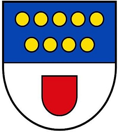
Wappen der Gemeinde Malberg
Coats of Arms ID 5437
-
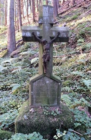
Wegekreuz
Religious Buildings Wayside Shrines and Stations of the Cross ID 25578
-
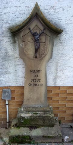
Wegekreuz
Religious Buildings Wayside Shrines and Stations of the Cross ID 32666
-
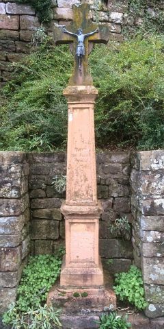
Wegekreuz
Religious Buildings Wayside Shrines and Stations of the Cross ID 32667
-
Weiherpesch
Field Names ID 27295
-
Weiherpesch in der Held
Field Names ID 40093
-
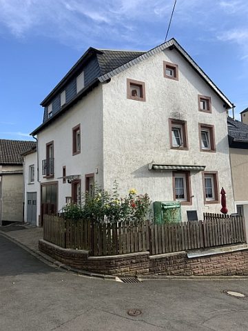
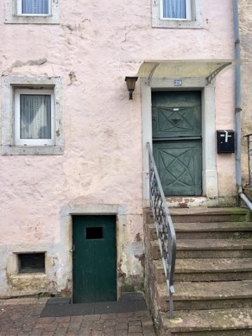
Wohnhaus
Residential and Farm Buildings Farmhouses and Farm Buildings ID 2150
-
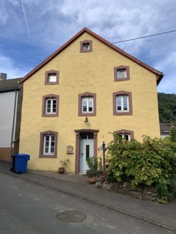
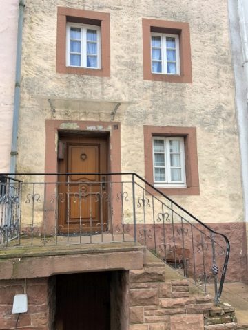
Wohnhaus
Residential and Farm Buildings Farmhouses and Farm Buildings ID 8243
-
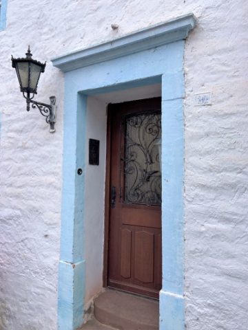
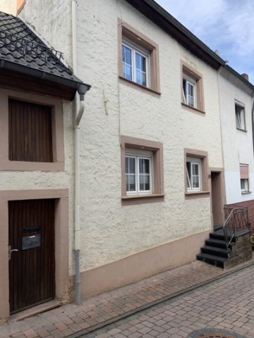
Wohnhaus
Residential and Farm Buildings Farmhouses and Farm Buildings ID 8244
-
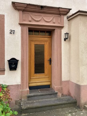
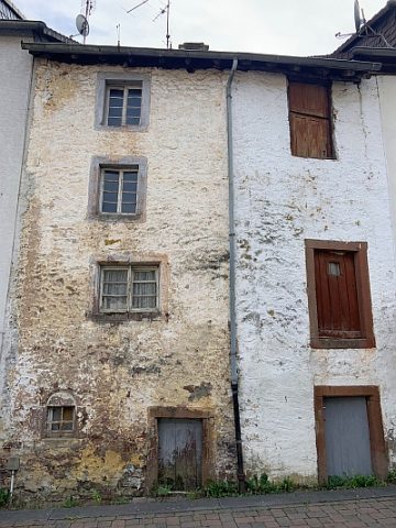
Wohnhaus
Residential and Farm Buildings Farmhouses and Farm Buildings ID 8246
-
Wohnhaus
Residential and Farm Buildings Farmhouses and Farm Buildings ID 8247
-
Wohnhaus
Residential and Farm Buildings Farmhouses and Farm Buildings ID 8248
-
Wohnhaus
Residential and Farm Buildings Farmhouses and Farm Buildings ID 8249
-
Wohnhaus
Residential and Farm Buildings Town Houses and Commercial Buildings ID 8252
-
Wohnhaus
Residential and Farm Buildings Town Houses and Commercial Buildings ID 11337
-
Wohnhaus
Residential and Farm Buildings Town Houses and Commercial Buildings ID 41432
-
Wohnstallhaus
Residential and Farm Buildings Farmhouses and Farm Buildings ID 57235
-
Ehemaliger Hof Burscheid
Residential and Farm Buildings Farmhouses and Farm Buildings ID 9121
-
Fließemer Kreuz
Religious Buildings Wayside Shrines and Stations of the Cross ID 9108
-
Friedhofskreuz
Markers and Monuments War Memorials ID 42830
-
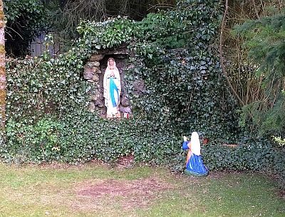
Mariengrotte
Religious Buildings Marian Grottoes ID 42824
-
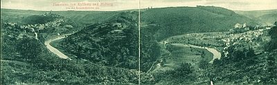
Panorama von Kyllburg und Malberg
Viewpoints ID 23920
-
Wegekreuz
Religious Buildings Wayside Shrines and Stations of the Cross ID 30545
-
Wegekreuz
Religious Buildings Wayside Shrines and Stations of the Cross ID 30546
-
Wegekreuz
Religious Buildings Wayside Shrines and Stations of the Cross ID 30547
-
Wegekreuz am Neidenbach
Religious Buildings Wayside Shrines and Stations of the Cross ID 30548
-
Am Hasenborn
Field Names ID 31713
-
Am Hohrech
Field Names ID 29843
-
Auf dem Scheid
Field Names ID 28594
-
Auf dem Scheid
Field Names ID 28596
-
Barockes Schaftkreuz von 1759
Religious Buildings Wayside Shrines and Stations of the Cross ID 13583
-
Beim Kirchenwieschen
Field Names ID 46125
-
Beim Maar
Field Names ID 35790
-
Bildstock
Religious Buildings Wayside Shrines and Stations of the Cross ID 51849
-
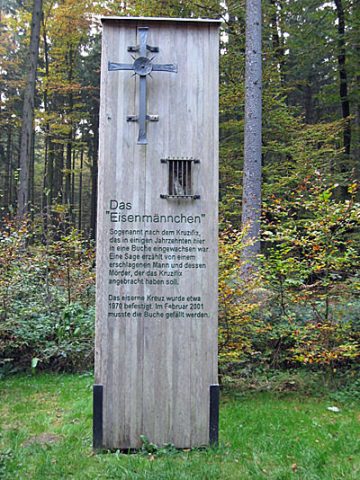
Das Eisenmännchen am Mohrweilerweg
Religious Buildings Wayside Shrines and Stations of the Cross ID 4956
-
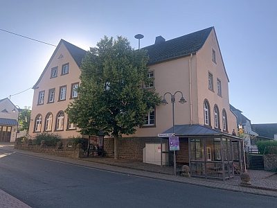
Ehemaliges Schulhaus
Educational Institutions Schools ID 8309
-
Ehemaliges Wohnhaus
Ältestes datiertes Wohnhaus im Ort
Residential and Farm Buildings Farmhouses and Farm Buildings ID 13589
-
Erste Erwähnung als Wych
Place Names / Local History ID 3288
-
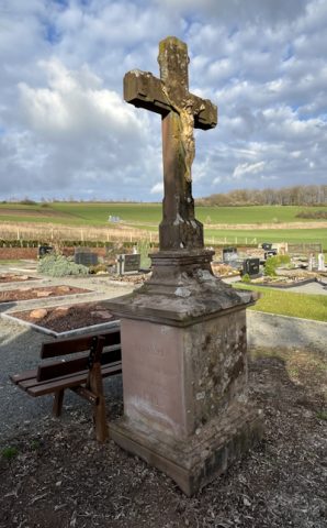
Friedhofskreuz
Religious Buildings Wayside Shrines and Stations of the Cross ID 57677
-
Gammesdell
Field Names ID 44957
-
Gehöft
Residential and Farm Buildings Farmhouses and Farm Buildings ID 13590
-
Gehöft
Residential and Farm Buildings Farmhouses and Farm Buildings ID 13591
-
Grabhügelgruppe
Burials Burial Mounds ID 12938
-
Grenzsteine vor einem Kreuzsockel
Markers and Monuments Surveying ID 55112
-
Halfenkreuz
Religious Buildings Wayside Shrines and Stations of the Cross ID 9102