Bitburger Land
3,990 heritage sites in the collective municipality of Bitburger Land in the Kulturdatenbank Region Trier.
The map shows all 3,990 results.
-
Frührömisches Gräberfeld
Burials Roman Tombs ID 13041
-
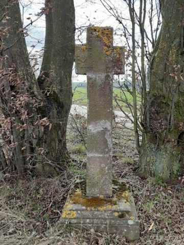
Gedenkkreuz
Religious Buildings Wayside Shrines and Stations of the Cross ID 28537
-
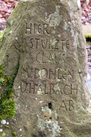
Gedenkstein
Markers and Monuments Monuments ID 40777
-
Im Hargarten
Field Names ID 48153
-
In Seidelpesch
Field Names ID 27313
-
In der Hostert
Field Names ID 27907
-
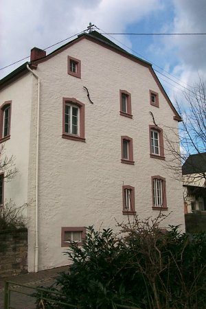
Katholisches Pfarrhaus
Administrative Buildings Rectories ID 35086
-
Kleine Hofanlage
Residential and Farm Buildings Farmhouses and Farm Buildings ID 35088
-
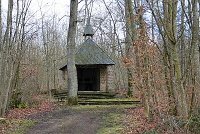
Kriegergedächtniskapelle
Religious Buildings Chapels ID 28540
-
Löschwasserteich und Quelle
Springs ID 35091
-
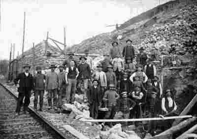
Mettericher Tunnel - Südportal
Engineering Structures and Industrial Sites Railways ID 8470
-
Ortsgeschichte Metterich
Place Names / Local History ID 1639
-
Römische Fundstelle
Settlements Find Sites ID 12260
-
Römische Siedlung
Settlements Settlements ID 12258
-
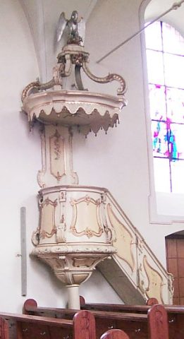
Sankt Eucharius - Orgel
Organs ID 2774
-
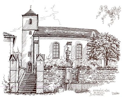
Sankt Eucharius - Wallfahrtskirche
Katholische Pfarrkirche
Religious Buildings Pilgrimage Sites ID 26080
-
Schrifttfafel
Religious Buildings Wayside Shrines and Stations of the Cross ID 26784
-
Stattlicher Streckhof
Residential and Farm Buildings Farmhouses and Farm Buildings ID 35089
-
Trinity Baptist Church Ev.
Religious Buildings ID 39058
-
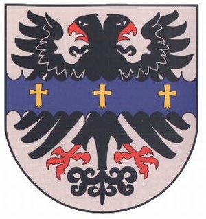
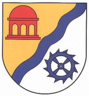
Wappen der Gemeinde Metterich
Coats of Arms ID 10221
-
Wegekreuz
Religious Buildings Wayside Shrines and Stations of the Cross ID 26781
-
Wegekreuz
Religious Buildings Wayside Shrines and Stations of the Cross ID 26782
-
Wegekreuz
Religious Buildings Wayside Shrines and Stations of the Cross ID 28538
-
Wegekreuz
Religious Buildings Wayside Shrines and Stations of the Cross ID 28539
-
Wegekreuz
Religious Buildings Wayside Shrines and Stations of the Cross ID 57673
-
Wegekreuz
Religious Buildings Wayside Shrines and Stations of the Cross ID 26778
-
Wegekreuz
Religious Buildings Wayside Shrines and Stations of the Cross ID 26779
-
Wegekreuz
Religious Buildings Wayside Shrines and Stations of the Cross ID 26780
-
In der Dell
Field Names ID 45171
-
Alte Mühle
Engineering Structures and Industrial Sites Mills ID 17634
-
Auf der Lehmkaul
Field Names ID 35915
-
Dankeskreuz
Religious Buildings Wayside Shrines and Stations of the Cross ID 30477
-
Im Krummfeld
Field Names ID 42415
-
In den Grundwiesen
Field Names ID 46909
-
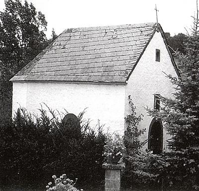
Kapelle beim Hof Bachstraße
Religious Buildings Chapels ID 7470
-
Oberste Mühle
Engineering Structures and Industrial Sites Mills ID 18818
-
Ortsgeschichte Mülbach
Place Names / Local History ID 1641
-
Wappen der Gemeinde Mülbach
Coats of Arms ID 10220
-
Wegekreuz
Religious Buildings Wayside Shrines and Stations of the Cross ID 30476
-
Rodelich
Field Names ID 43159
-
Vermutetes römisches Heiligtum
Religious Buildings Temples, Sanctuaries ID 13044
-
Wüstung Gersdorf (1)
Settlements Deserted Settlements ID 531
-
Wüstung Gersdorf (2)
Settlements Deserted Settlements ID 8222
-
Rothenberg
Field Names ID 43213