Gerolstein
3,905 heritage sites in the collective municipality of Gerolstein in the Kulturdatenbank Region Trier.
The map shows all 3,905 results.
-
Im Werth
Field Names ID 35487
-
Im Werth
Field Names ID 35488
-
In Buchholz
Field Names ID 41900
-
In der Hasengich
Field Names ID 52736
-
In der Lehmkaul
Field Names ID 35935
-
In der Trift
Field Names ID 28358
-
Jakobsloch
Field Names ID 52874
-
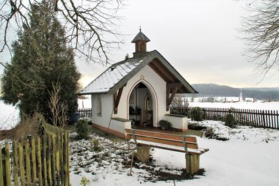
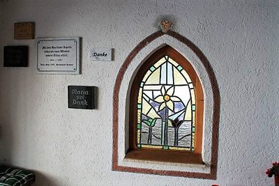
Kapelle auf dem Loscheid (1)
Religious Buildings Chapels ID 30214
-
Kapelle auf dem Loscheid (2)
Religious Buildings Chapels ID 46523
-
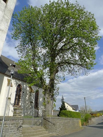
Kastanie bei Sankt Antonius
Trees Chestnut Trees ID 23064
-
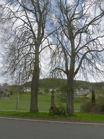
Kreuz gegenüber Haus Rother Straße 40
Religious Buildings Wayside Shrines and Stations of the Cross ID 23060
-
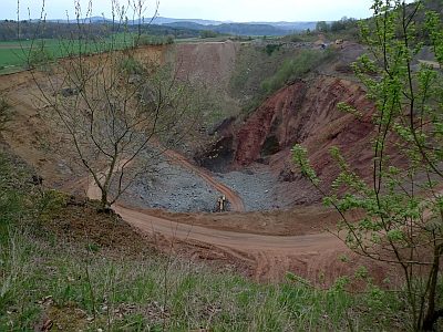
Lavatagebau am Rother-Kopf
Economy, Trade and Transport Extraction and Processing of Raw Materials ID 7409
-
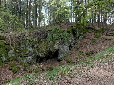
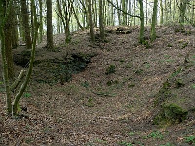
Mühlsteinbruch am Hümmerich
Economy, Trade and Transport Extraction and Processing of Raw Materials ID 23065
-
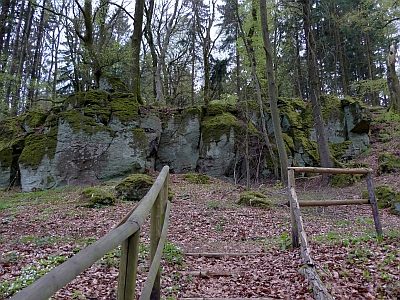
Mühlsteinbruch am Rother Kopf (Hiemerich)
Economy, Trade and Transport Extraction and Processing of Raw Materials ID 24148
-
Ober Mergenborn
Field Names ID 32231
-
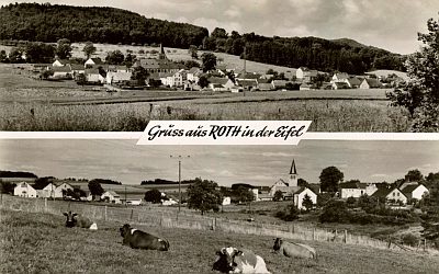
Ortsgeschichte Roth
Place Names / Local History ID 1598
-
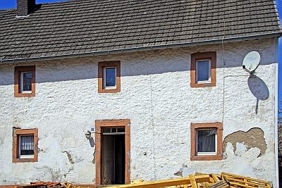
Quereinhaus
Residential and Farm Buildings Farmhouses and Farm Buildings ID 23053
-
Rother Maar
Maars Dry Maars ID 23409
-
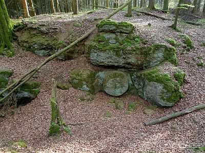
Römische Mahl-/Mühlsteingewinnung
Economy, Trade and Transport Extraction and Processing of Raw Materials ID 25892
-
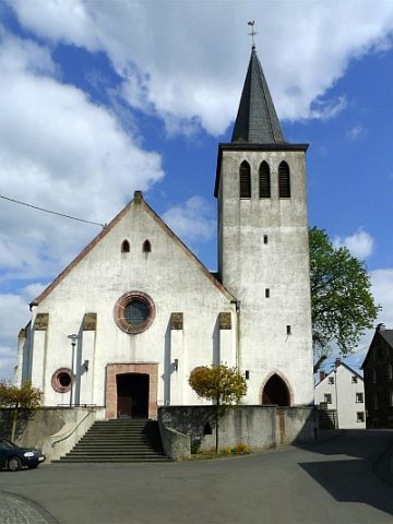
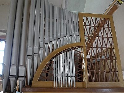
Sankt Antonius - Orgel
Organs ID 13130
-
Sankt Antonius - Pfarrerkreuz
Religious Buildings Burial Sites ID 23059
-
Sankt Antonius - Schaftkreuz
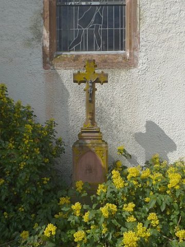
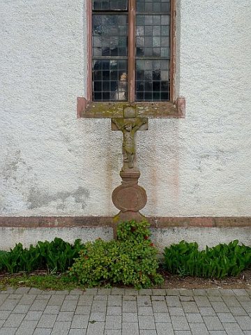
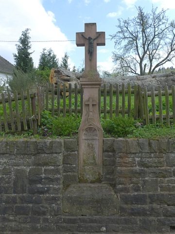
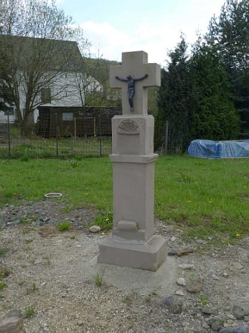
Religious Buildings Wayside Shrines and Stations of the Cross ID 23066
-
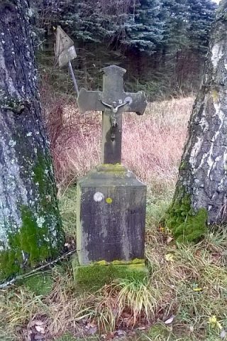
Schaftkreuz
Religious Buildings Wayside Shrines and Stations of the Cross ID 23063
-
Schaftkreuz von 1759
Religious Buildings Wayside Shrines and Stations of the Cross ID 23062
-
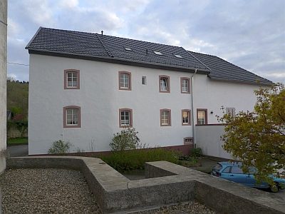
Sogenanntes Scholzenhaus
Ehemaliger Sitz des Rother Hofgerichts
Legal Monuments Courthouses ID 23058
-
Vulkan Loscheid
Geological Features Volcanoes ID 30213
-
Vulkan Rother Kopf
Auch Rother Höheberg, Himmerich oder Hommerich
Geological Features Volcanoes ID 6645
-
Vulkan Rother Maar
Geological Features Volcanoes ID 30215
-
Wegekreuz
Religious Buildings Wayside Shrines and Stations of the Cross ID 26457
-
Wegekreuz
Religious Buildings Wayside Shrines and Stations of the Cross ID 26458
-
Wegekreuz
Religious Buildings Wayside Shrines and Stations of the Cross ID 26459
-
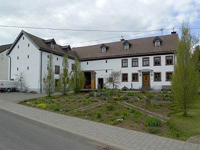
Winkelhof
Residential and Farm Buildings Farmhouses and Farm Buildings ID 23061
-
Im Hintersten Laar
Field Names ID 50145
-
Im Laar
Field Names ID 50144
-
Im Auel
Field Names ID 42148
-
Unter Köckerrath
Field Names ID 43882
-
Hinter der Rother Heck
Field Names ID 43218
-
In der Seitert
Field Names ID 41608
-
An der Held
Field Names ID 40364