20th Century
5,980 heritage sites from the period 20th Century: 1918 to 2000.
The map shows all 5,980 results.
-
Vermuteter Mühlenstandort am Leukbach
Engineering Structures and Industrial Sites Mills ID 17587
-
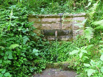
Brunnen
Fountains and Wells ID 49962
-
Ehemalige Dronkehütte am Stubenberg
Viewpoints ID 41474
-
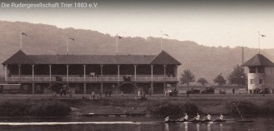
Ehemalige Regattatribüne mit Zielrichterhaus
Recreation and Sports Facilities ID 49994
-
Ehemaliger Aussichtspunkt Dronkehöhe
Viewpoints ID 47680
-
Ehemaliger Aussichtspunkt Sabels-Freude
Viewpoints ID 47681
-
Ehemaliges Staatsjugendheim
Educational Institutions Schools ID 17823
-
Erlenhof im Biewertal
Place Names / Local History ID 52261
-
Levelingstraße
Place Names / Local History Street Names ID 50449
-
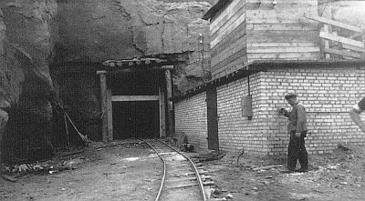
Luftschutzbunker - nördlicher Eingang
Fortifications and Military Sites Fortresses and Bunkers ID 37304
-
Luftschutzbunker - südlicher Eingang
Fortifications and Military Sites Fortresses and Bunkers ID 38171
-
Adolf-Krämer-Weg
Place Names / Local History Street Names ID 11624
-
Agrobstraße
Place Names / Local History Street Names ID 50443
-
Ehemalige Jugendherberge
Sogenanntes HJ-Heim
Economy, Trade and Transport Catering, Inns and Hotels ID 42728
-
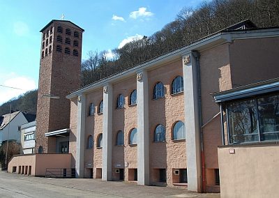
Ehemalige Kirche Mariä Himmelfahrt
Ehemalige Pfarrkirche
Religious Buildings Catholic Churches ID 14688
-
Ehemaliger Reichsbahnbunker
Fortifications and Military Sites Fortresses and Bunkers ID 44603
-
Ehemaliger Steinbruch
Economy, Trade and Transport Extraction and Processing of Raw Materials ID 38885
-
Evangelische Pfarrkirche
Religious Buildings Protestant Churches ID 18450
-
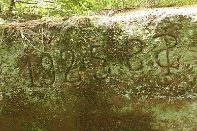
Felsinschrift am Sumpfigen Weg
Markers and Monuments Inscriptions ID 43983
-
Gedenktafel Bombenangriff
Markers and Monuments Monuments ID 36507
-
Gedenktafel für Mathias Thesen
Markers and Monuments Monuments ID 36508
-
Holzkreuz auf der Bausch
Religious Buildings Wayside Shrines and Stations of the Cross ID 11622
-
Josef-Matthäus-Velter-Straße
Place Names / Local History Street Names ID 11639
-
Kapelle des Marienkrankenhauses
Religious Buildings Chapels ID 14687
-
Kapelle zur Heiligen Familie
Religious Buildings Chapels ID 11667
-
Kyllstraße
Place Names / Local History Street Names ID 11628
-
Layweg
Place Names / Local History Street Names ID 11636
-
Petenweg
Place Names / Local History Street Names ID 11630
-
Peter-Klöckner-Straße
Place Names / Local History Street Names ID 50445
-
Schwarzer Weg
Place Names / Local History Street Names ID 50446
-
Servaisstraße
Place Names / Local History Street Names ID 11643
-
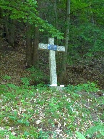
Unglückskreuz im Ramsteiner Weg
Religious Buildings Wayside Shrines and Stations of the Cross ID 11623
-
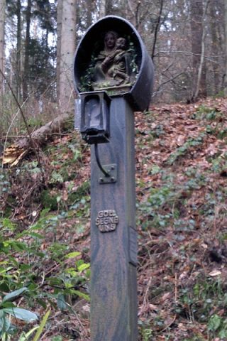
Vesperbild
Bildstock zum Gedenken an Priesterweihe
Religious Buildings Wayside Shrines and Stations of the Cross ID 25338
-
Von-Pidoll-Straße
Place Names / Local History Street Names ID 50444
-
Wegekreuz von 1983
Religious Buildings Wayside Shrines and Stations of the Cross ID 23266
-
Adam-Stegerwald-Straße
Place Names / Local History Street Names ID 6697
-
Burgmühlenstraße
Place Names / Local History Street Names ID 6725
-
Dronkestraße
Place Names / Local History Street Names ID 6887
-
Ehemalige Flakstellung (Flak)
Luftverteidigungszone (LVZ) West
Fortifications and Military Sites Fortresses and Bunkers ID 57669
-
Ehemalige General-von-Seidel-Kaserne
Fortifications and Military Sites Barracks ID 35689
-
Ehemaliges Augustinuskloster
Religious Buildings Monastic Complexes ID 19591
-
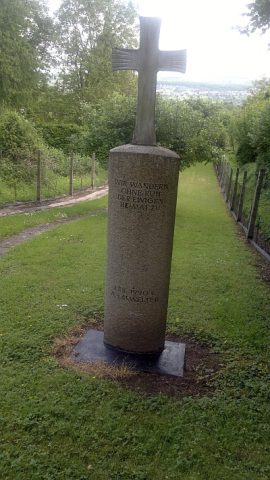
Kreuzstele
Religious Buildings Wayside Shrines and Stations of the Cross ID 43032
-
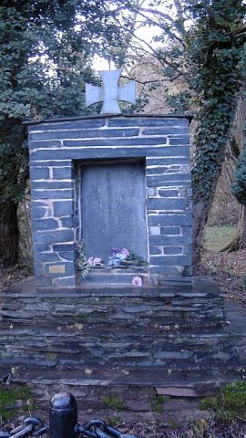
Kriegerdenkmal im Langenberg
Markers and Monuments War Memorials ID 25899
-
Ludwig-Steinbach-Straße
Place Names / Local History Street Names ID 50439
-
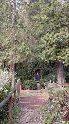
Mariengrotte
Religious Buildings Marian Grottoes ID 25875
-
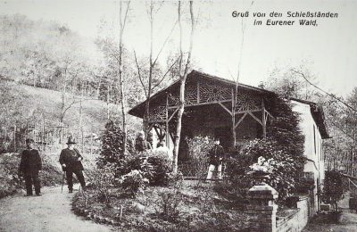
Schießstand
Recreation and Sports Facilities Shooting Ranges ID 34736