Renaissance
1,987 heritage sites from the period Renaissance: c. 1500 to c. 1700.
The map shows all 1,987 results.
-
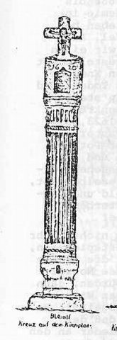
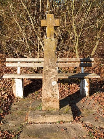
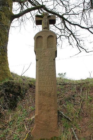
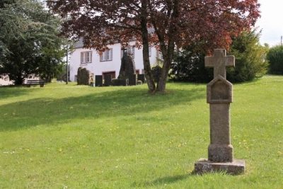
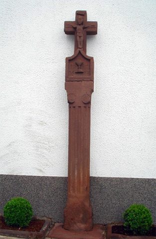
Pestkreuz
Religious Buildings Wayside Shrines and Stations of the Cross ID 10535
-
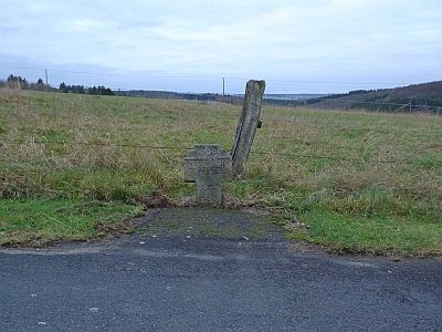
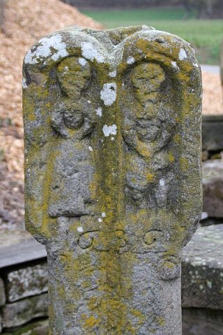
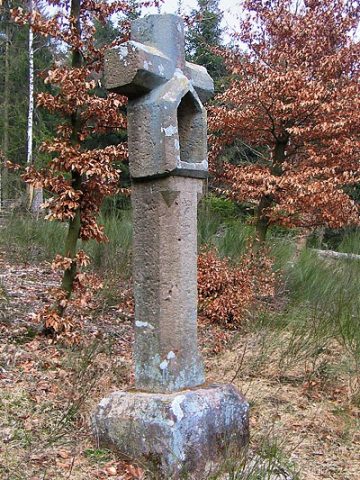
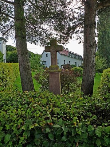
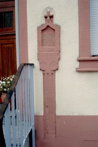
Spätgotisches Nischenkreuz
Religious Buildings Wayside Shrines and Stations of the Cross ID 10537
-
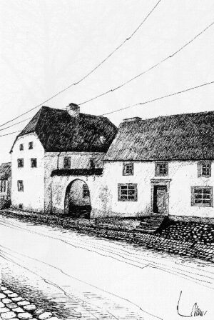
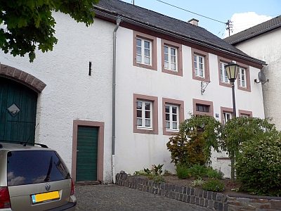
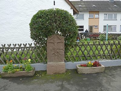
Wohnhaus eines Gehöfts
Komes-Hof
Residential and Farm Buildings Farmhouses and Farm Buildings ID 1798
-
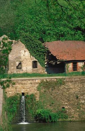
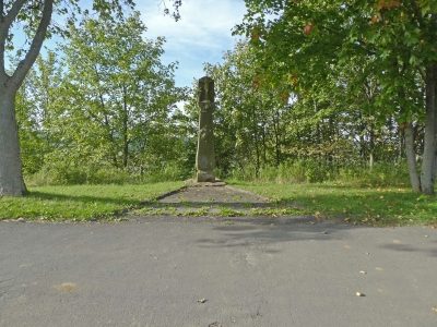
Schmettwier in der Sauer
Economy, Trade and Transport Extraction and Processing of Raw Materials ID 4798
-
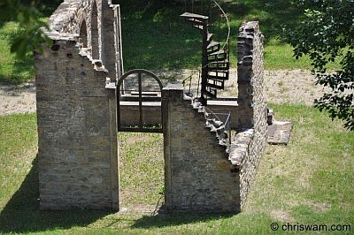
Eisenverhüttung (1)
Economy, Trade and Transport Ironworks ID 556
-
Eisenverhüttung (2)
Economy, Trade and Transport Ironworks ID 23240
-
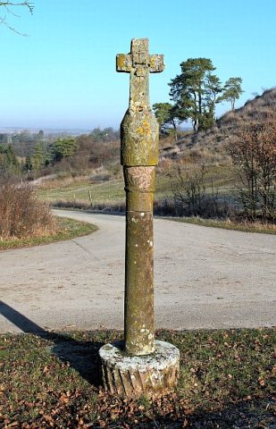
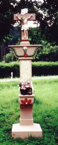
Basaltkreuz von 1699
Religious Buildings Wayside Shrines and Stations of the Cross ID 17787
-
Basaltkreuz von 1699
Religious Buildings Wayside Shrines and Stations of the Cross ID 17789
-
Basaltkreuz von 1790
Religious Buildings Wayside Shrines and Stations of the Cross ID 17790
-
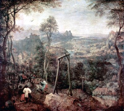
Ehemalige Richtstätte
Legal Monuments Execution Sites ID 10051
-
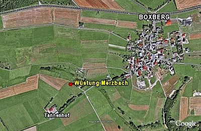
Wüstung Merzbach
Settlements Deserted Settlements ID 4005
-
Ortsgeschichte Brandscheid
Place Names / Local History ID 11264
-
Wohnhaus
Residential and Farm Buildings Farmhouses and Farm Buildings ID 15413
-
Sogenanntes Braut- oder Hexenkreuz
Religious Buildings Wayside Shrines and Stations of the Cross ID 8424
-
Wegekreuzschaft aus rotem Sandstein
Religious Buildings Wayside Shrines and Stations of the Cross ID 10712
-
Wegekreuzfragment
Religious Buildings Wayside Shrines and Stations of the Cross ID 10713
-
Brunnen im ehemaligen Pfarrhaus
Fountains and Wells ID 18629
-
Bildstock
Religious Buildings Wayside Shrines and Stations of the Cross ID 2533
-
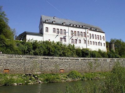
Hepgesburg (2)
Auch Robenhaus genannt
Residential and Farm Buildings Town Houses and Commercial Buildings ID 7907
-
Wohnhaus
Residential and Farm Buildings Farmhouses and Farm Buildings ID 15607
-
Hexentanzplatz auf der Schneifelhöhe
Legal Monuments Witch Hunts ID 46516
-
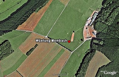
Wüstung Mombach
Settlements Deserted Settlements ID 706
-
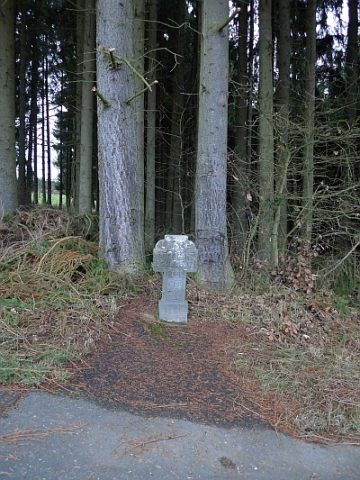
Nischenkreuz von 1605
Am alten Höhenweg nach Seffern
Religious Buildings Wayside Shrines and Stations of the Cross ID 9143
-
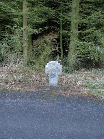
Nischenkreuz von 1658
An der Straße von Burbach nach Balesfeld
Religious Buildings Wayside Shrines and Stations of the Cross ID 9141
-
Wohnhaus
Residential and Farm Buildings Farmhouses and Farm Buildings ID 14942
-
Wohnhaus
Residential and Farm Buildings Farmhouses and Farm Buildings ID 14943
-
Wohnhaus
Residential and Farm Buildings Farmhouses and Farm Buildings ID 14945
-
Ehemaliges Wohnhaus Am Frohnbach 2
Residential and Farm Buildings Farmhouses and Farm Buildings ID 15528
-
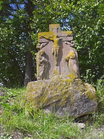
Kreuzigungsbildstock
Religious Buildings Wayside Shrines and Stations of the Cross ID 8198
-
Kreuzigungsbildstock von 1630
Religious Buildings Wayside Shrines and Stations of the Cross ID 8194
-
Nischenkreuz
Religious Buildings Wayside Shrines and Stations of the Cross ID 8191
-
Nischenkreuz
Religious Buildings Wayside Shrines and Stations of the Cross ID 8197
-
Nischenkreuz
Religious Buildings Wayside Shrines and Stations of the Cross ID 50245
-
Schaftkreuz
Pilgerstraße, gegenüber Abzweigung Am Goldborn
Religious Buildings Wayside Shrines and Stations of the Cross ID 8195
-
Kreuzigungsbildstock
Westlich des Ortes, an der Straße nach Wallersheim
Religious Buildings Wayside Shrines and Stations of the Cross ID 8193
-
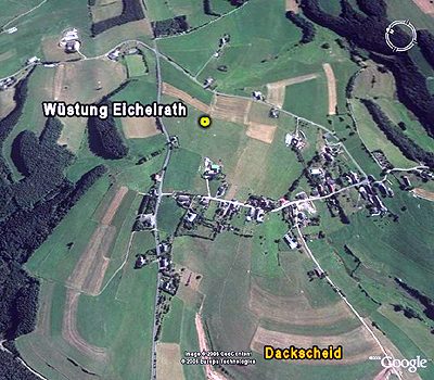
Wüstung Eichelrath
Settlements Deserted Settlements ID 457
-
Pestkreuz bei der Dahlemer Pfarrkirche
Ursprüngliches Lambertuskreuz
Religious Buildings Wayside Shrines and Stations of the Cross ID 6537
-
Türsturz von 1569
Residential and Farm Buildings Farmhouses and Farm Buildings ID 11267
-
Nischenkreuz
Religious Buildings Wayside Shrines and Stations of the Cross ID 11270
-
Pestkreuz an der Kirche
Religious Buildings Wayside Shrines and Stations of the Cross ID 14811
-
Wegekreuz
Religious Buildings Wayside Shrines and Stations of the Cross ID 33842
-
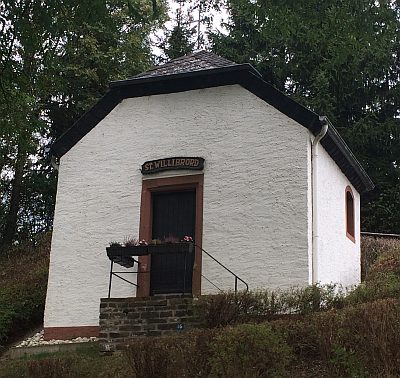
Willibrorduskapelle
Religious Buildings Chapels ID 465