Vulkaneifel
7,758 heritage sites in Vulkaneifel in the Kulturdatenbank Region Trier.
The map shows all 7,758 results.
-
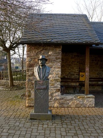
Fritz-von-Wille-Büste
Markers and Monuments Monuments ID 22993
-
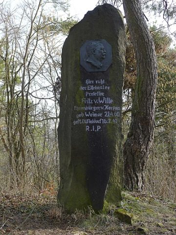
Fritz-von-Wille-Grab
Religious Buildings Burial Sites ID 2402
-
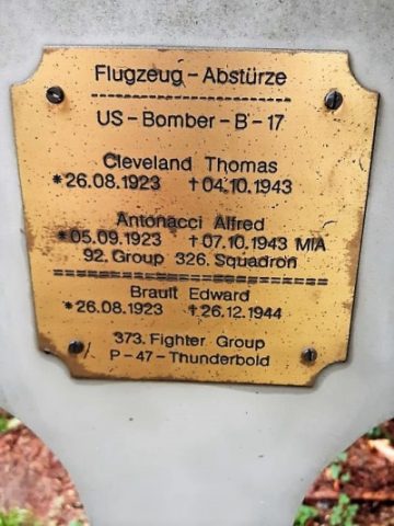
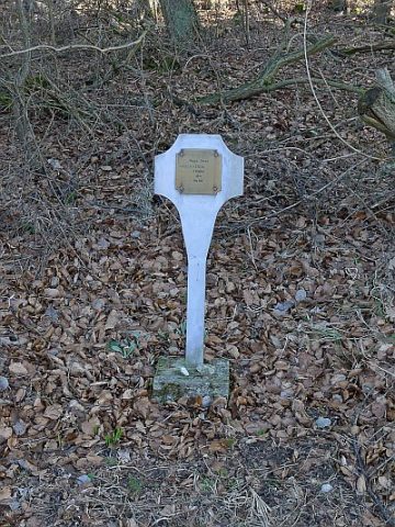
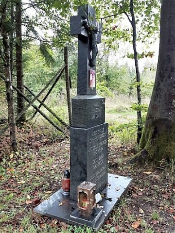
Gedenkkreuz
Markers and Monuments Monuments ID 22927
-
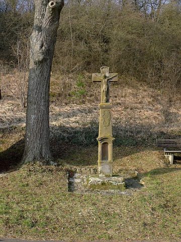
Gedenkkreuz am Weinberg
Religious Buildings Wayside Shrines and Stations of the Cross ID 22994
-
Gedenkkreuz an der Marienkapelle
Religious Buildings Wayside Shrines and Stations of the Cross ID 16564
-
Hinten auf der Held
Field Names ID 40355
-
Hinter Weinberg
Vineyard Sites ID 39643
-
Hinter der Rothenheck
Field Names ID 43261
-
Im Bungert
Field Names ID 28004
-
Im Mühlenpesch
Field Names ID 27237
-
Im Tiergarten
Field Names ID 39504
-
Im langen Morgen
Field Names ID 29190
-
In der Lehmkaul
Field Names ID 35945
-
In der Muhl
Field Names ID 52188
-
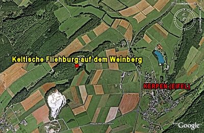
Keltische Fliehburg auf dem Weinberg
Fortifications and Military Sites Ring Forts ID 4039
-
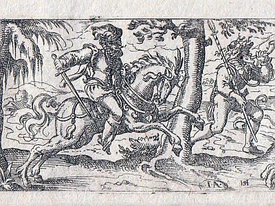
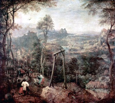
Kerpener Galgen auf dem Koberg
Legal Monuments Execution Sites ID 6437
-
Kerpener Maar
Maars Dry Maars ID 16308
-
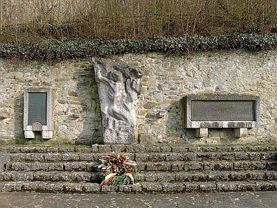
Kriegerdenkmal
Markers and Monuments War Memorials ID 24591
-
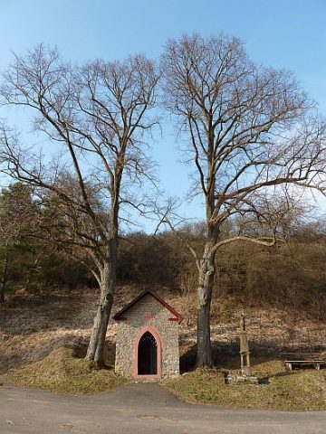
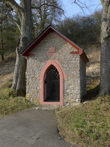
Marienkapelle
Religious Buildings Chapels ID 16563
-
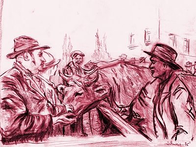
Marktort Kerpen
Economy, Trade and Transport Market Towns ID 25953
-
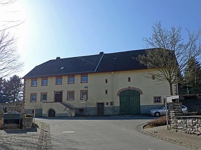
Nachbarocker Krüppelwalmdachbau
Residential and Farm Buildings Farmhouses and Farm Buildings ID 16434
-
Oben auf dem Krummenstück
Field Names ID 42376
-
Oben auf dem Scheid
Field Names ID 28680
-
Oben hinter Weinberg
Vineyard Sites ID 39642
-
Quereinhaus
Residential and Farm Buildings Farmhouses and Farm Buildings ID 946
-
Rest der Ortsbefestigung
Fortifications and Military Sites Town Fortifications ID 16433
-
Römische Siedlungsstelle
Cultural Layers ID 12507
-
Siedlung der Hunsrück-Eifel-Kultur
Settlements Settlements ID 12508
-
Sogenanntes Rotes Kreuz
Religious Buildings Wayside Shrines and Stations of the Cross ID 22921
-
Stadtrechte
Chartered Towns ID 6815
-
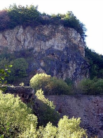
Steinbruch Weinberg
Aufschlusspunkt 23 des GEO-PFAD
Economy, Trade and Transport Extraction and Processing of Raw Materials ID 6770
-
Streckhof
Residential and Farm Buildings Farmhouses and Farm Buildings ID 16435
-
Unten auf dem Krummenstück
Field Names ID 42486
-
Unten auf dem Scheid
Field Names ID 28700
-
Vorn auf dem Scheid
Field Names ID 28728
-
Vulkan Kerpener Maar
Geological Features Volcanoes ID 30220
-
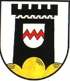
Wappen der Gemeinde Kerpen
Coats of Arms ID 4068
-
Wassermühle mit Basaltmühlstein
Engineering Structures and Industrial Sites Mills ID 30549
-
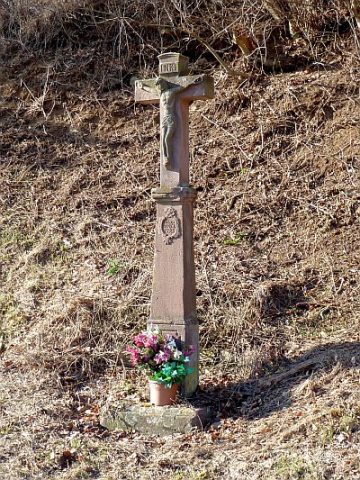
Wegekreuz
Religious Buildings Wayside Shrines and Stations of the Cross ID 22922
-
Wegekreuz
Religious Buildings Wayside Shrines and Stations of the Cross ID 30114
-
Wegekreuz
Religious Buildings Wayside Shrines and Stations of the Cross ID 43011
-
Wegekreuz am südlichen Ortsausgang
Religious Buildings Wayside Shrines and Stations of the Cross ID 22925
-
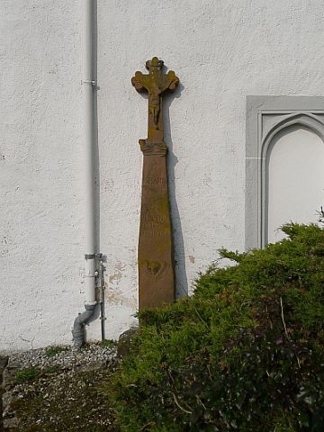
Wegekreuz an der Kirche Sankt Sebastian
Katholische Kirche
Religious Buildings Wayside Shrines and Stations of the Cross ID 8442