Bitburger Land
3,990 heritage sites in the collective municipality of Bitburger Land in the Kulturdatenbank Region Trier.
The map shows all 3,990 results.
-
Aufm Kirchenfeld
Field Names ID 42529
-
Aussichtspunkt Gipfelkreuz am Ringelstein
Viewpoints ID 49494
-
Aussichtspunkt Ringelstein
Viewpoints ID 4452
-
Aussichtspunkt westlich der Ortslage
Viewpoints ID 4411
-
Denkmalzone Ortskern
Historic Townscapes ID 35154
-
Ehemaliger Galgen
Legal Monuments Execution Sites ID 57386
-
Ehemaliger Kalkofen
Economy, Trade and Transport Lime Kilns ID 34017
-
Ehemaliger Kalkofen
Economy, Trade and Transport Lime Kilns ID 35641
-
Fundstellen tierischer Versteinerungen
Geological Features Fossils ID 50911
-
Gipfelkreuz am Ringelstein
Religious Buildings Wayside Shrines and Stations of the Cross ID 49493
-
Grabhügelfeld
Burials Burial Mounds ID 4211
-
Grabhügelgruppe
Burials Burial Mounds ID 12522
-
Im Fuchsloch
Field Names ID 52758
-
Im Rothenberg
Field Names ID 43257
-
In Weckendell
Field Names ID 45541
-
In der Muhl
Field Names ID 52191
-
Meiersbach
Field Names ID 38528
-
Nischenkreuz
Religious Buildings Wayside Shrines and Stations of the Cross ID 1653
-
Nischenkreuz
Religious Buildings Wayside Shrines and Stations of the Cross ID 1654
-
Ober Meiersbach
Field Names ID 38529
-
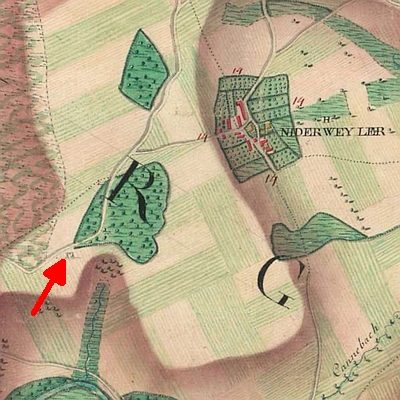
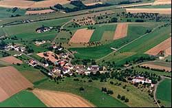
Ortsgeschichte Niederweiler
Place Names / Local History ID 1650
-
Stattlicher Winkelhof
Residential and Farm Buildings Farmhouses and Farm Buildings ID 34924
-
Stattliches Wohnhaus mit Kniestock
Residential and Farm Buildings Farmhouses and Farm Buildings ID 34923
-
Unterst Roth
Field Names ID 43243
-
Vermutete römische Siedlungsstelle
Settlements Settlements ID 13109
-
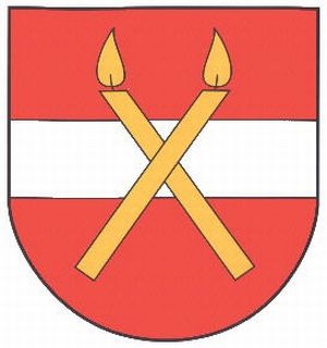
Wappen der Gemeinde Niederweiler
Coats of Arms ID 10218
-
Wegekreuz
Religious Buildings Wayside Shrines and Stations of the Cross ID 32491
-
Wegekreuz
Religious Buildings Wayside Shrines and Stations of the Cross ID 32492
-
Wegekreuz
Religious Buildings Wayside Shrines and Stations of the Cross ID 32493
-
Wegekreuz
Religious Buildings Wayside Shrines and Stations of the Cross ID 32957
-
Wüstung Dorf Beifels
Settlements Deserted Settlements ID 532
-
In der Altmühl
Field Names ID 25545
-
Wegekreuz südöstlich des Leisenhofes (1)
Religious Buildings Wayside Shrines and Stations of the Cross ID 5902
-
Wegekreuz südöstlich des Leisenhofes (2)
Religious Buildings Wayside Shrines and Stations of the Cross ID 49372
-
Altarkreuz ohne Inschrift
Religious Buildings Altars ID 17253
-
Am Eulendorfergrund
Field Names ID 46720
-
Am untersten Grund
Field Names ID 46722
-
Aufm Honigsberg
Field Names ID 28983
-
Beim Kalkofen
Field Names ID 36310
-
Bildstock zu Ehren der Muttergottes
Religious Buildings Wayside Shrines and Stations of the Cross ID 17252
-
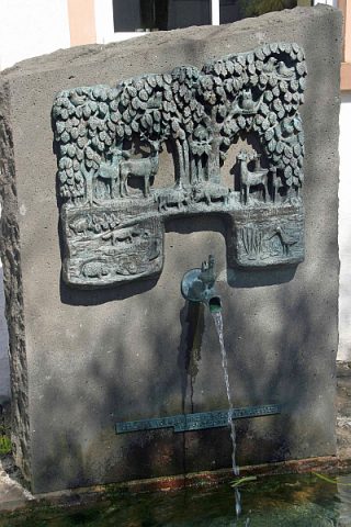
Brunnen Tiere des Waldes
Fountains and Wells Works of Art ID 39360
-
Bungert
Field Names ID 28169
-
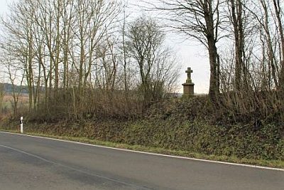
Dankeskreuz an der Straße nach Orsfeld
Religious Buildings Wayside Shrines and Stations of the Cross ID 17251
-
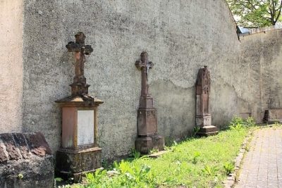
Drei Pfarrergrabsteine
Religious Buildings Burial Sites ID 48330