Bitburger Land
3,990 heritage sites in the collective municipality of Bitburger Land in the Kulturdatenbank Region Trier.
The map shows all 3,990 results.
-
Römische Siedlungsstelle
Settlements Settlements ID 48382
-
Römische Siedlungsstelle
Settlements Settlements ID 48383
-
Schaftkreuz am südlichen Ortsrand
Religious Buildings Wayside Shrines and Stations of the Cross ID 13618
-
Schaftkreuz an der Salmbrücke
Religious Buildings Wayside Shrines and Stations of the Cross ID 13616
-
Schaftkreuz an der Straße nach Gindorf
Religious Buildings Wayside Shrines and Stations of the Cross ID 13617
-
Schaftkreuz im Salmtal
Religious Buildings Wayside Shrines and Stations of the Cross ID 13615
-
Schmitzpesch
Field Names ID 27372
-
Siedlungsstelle Rackenbach
Place Names / Local History ID 9110
-
Sogenanntes Reis-Kapellchen
Religious Buildings Wayside Shrine Houses ID 19661
-
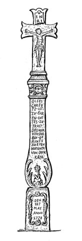
Spätbarockes Schaftkreuz (1)
An der Straße nach Gindorf
Religious Buildings Wayside Shrines and Stations of the Cross ID 5903
-
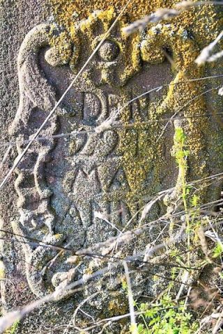
Spätbarockes Schaftkreuz (1)
An der Straße nach Gindorf
Religious Buildings Wayside Shrines and Stations of the Cross ID 48753
-
Stadtrechte
Chartered Towns ID 6816
-
Steinkaul
Field Names ID 27720
-
Teufelsstein
Religious Buildings Wayside Shrines and Stations of the Cross ID 9106
-
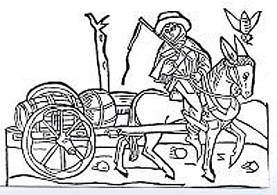
Trasse der Weinstraße (1)
Von der Mosel nach Lüttich
Economy, Trade and Transport Road Transport ID 6907
-
Trasse der Weinstraße (2)
Von der Mosel nach Lüttich
Economy, Trade and Transport Road Transport ID 6908
-
Treppenhaus der Grundschule
Residential and Farm Buildings Farmhouses and Farm Buildings ID 57714
-
Unglückskreuz
Religious Buildings Wayside Shrines and Stations of the Cross ID 17254
-
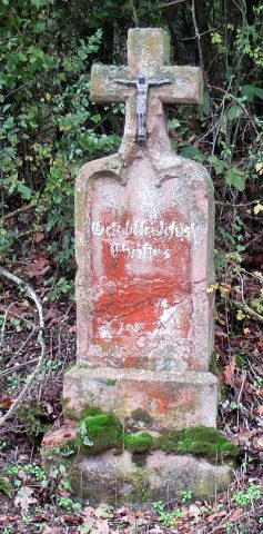
Unglückskreuz an der Straße nach Gindorf
Religious Buildings Wayside Shrines and Stations of the Cross ID 17250
-
Unter Hohrech
Field Names ID 29833
-
Unterm Honigsberg
Field Names ID 28979
-
Vermutete Tempelbauten
Religious Buildings Temples, Sanctuaries ID 13110
-
Vor Hastert
Field Names ID 52607
-
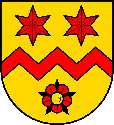
Wappen der Gemeinde Oberkail
Coats of Arms ID 5441
-
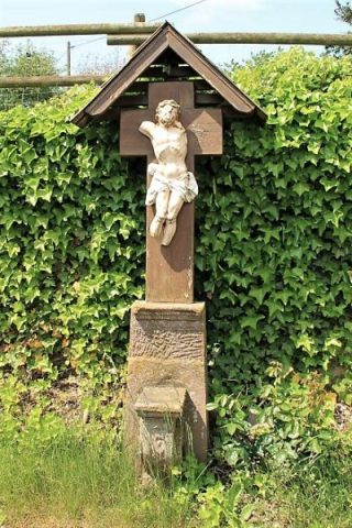
Wegekreuz
Religious Buildings Wayside Shrines and Stations of the Cross ID 33438
-
Wegekreuz
Religious Buildings Wayside Shrines and Stations of the Cross ID 48324
-
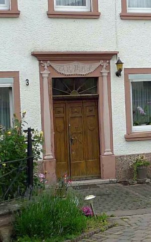
Wohnhaus
Residential and Farm Buildings Farmhouses and Farm Buildings ID 8299
-
Wohnhaus
Residential and Farm Buildings Farmhouses and Farm Buildings ID 8300
-
Wohnhaus
Residential and Farm Buildings Farmhouses and Farm Buildings ID 8302
-
Wohnhaus
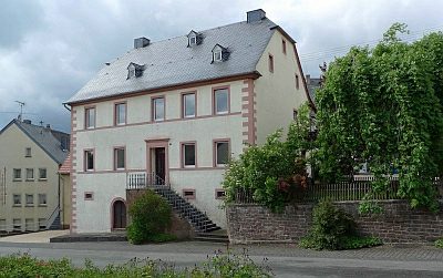
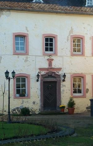
Residential and Farm Buildings Farmhouses and Farm Buildings ID 13619
-
Trigonometrisches Signal
Markers and Monuments Surveying ID 44573
-
Auf dem Kiemen
Field Names ID 33213
-
Auf der Ritt
Field Names ID 52007
-
Bitburger Kreuzchen
Religious Buildings Wayside Shrines and Stations of the Cross ID 24733
-
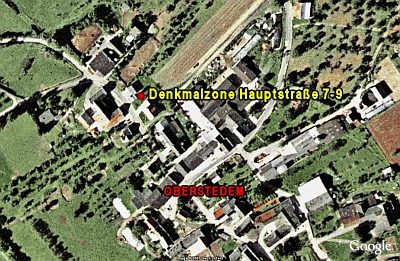
Denkmalzone Hauptstraße 7-9
Historic Townscapes ID 10648
-
Erste Erwähnung als Stedehym
Place Names / Local History ID 1655
-
Hirzendriesch
Field Names ID 29547
-
Hosender Grund
Field Names ID 46792
-
Im Bungert
Field Names ID 28145
-
Im Gründchen
Field Names ID 45063
-
In den Längten hinter Palmus
Field Names ID 52860
-
In der Acht
Field Names ID 35358
-
In der Ritt
Field Names ID 52006
-
In der obersten Ritt
Field Names ID 51202