Bitburger Land
3,990 heritage sites in the collective municipality of Bitburger Land in the Kulturdatenbank Region Trier.
The map shows all 3,990 results.
-
Portal von 1857
Residential and Farm Buildings Farmhouses and Farm Buildings ID 10645
-
Rothenberg
Field Names ID 43282
-
Streckhof
Residential and Farm Buildings Farmhouses and Farm Buildings ID 10649
-
Streuhof
Residential and Farm Buildings Farmhouses and Farm Buildings ID 10646
-
Wappen der Gemeinde Oberstedem
Coats of Arms ID 7489
-
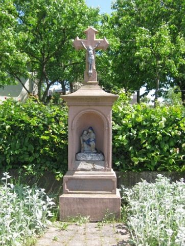
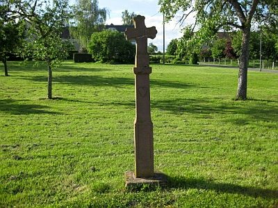
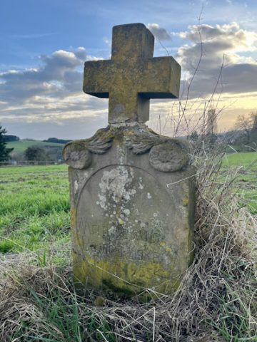
Wegekreuz aus dem 19. Jahrhundert
Hauptstraße an der Abzweigung nach Eßlingen
Religious Buildings Wayside Shrines and Stations of the Cross ID 10647
-
Burgruine Beifels
Fortifications and Military Sites Castles ID 533
-
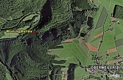
Wüstung Beifels
Settlements Deserted Settlements ID 5489
-
Ehemalige Furt durch die Prüm
Economy, Trade and Transport Fords ID 47047
-
Auf Birkenrath
Field Names ID 43724
-
Auf Langenrath
Field Names ID 43723
-
Auf der Sauerwies
Field Names ID 34480
-
Aussichtspunkt an der Landesstraße 12
Viewpoints ID 4459
-
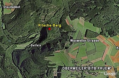
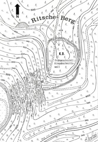
Aussichtspunkt auf Ritsche-Berg
Viewpoints ID 4463
-
Backespesch
Field Names ID 27381
-
Bei Gillenpeschen
Field Names ID 27382
-
Borngraben
Field Names ID 31686
-
Ehemalige Furt durch die Prüm
Economy, Trade and Transport Fords ID 47046
-
Ehemaliger Galgen
Legal Monuments Execution Sites ID 57385
-
Erste Erwähnung als Wilre Juxta Ham
Place Names / Local History ID 1657
-
Fundstelle
Settlements Find Sites ID 25904
-
Fundstellen tierischer Versteinerungen
Geological Features Fossils ID 50903
-
Fundstellen tierischer Versteinerungen
Geological Features Fossils ID 50906
-
Fundstellen tierischer Versteinerungen
Geological Features Fossils ID 50907
-
Im Grund
Field Names ID 46840
-
Im Wollpesch
Field Names ID 27383
-
In Dausterdell
Field Names ID 45109
-
In Dörrendell
Field Names ID 45430
-
In Hewelscheiderdell
Field Names ID 45470
-
In Mainzendell
Field Names ID 45492
-
In den Gillenpeschen
Field Names ID 27384
-
Reutersborn
Field Names ID 31706
-
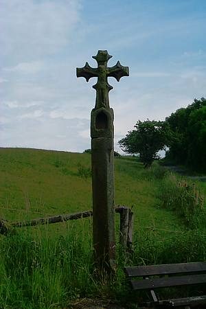
Schaftkreuz
Religious Buildings Wayside Shrines and Stations of the Cross ID 17269
-
Tiefendell
Field Names ID 45683
-
Wappen der Gemeinde Oberweiler
Coats of Arms ID 10217
-
Wegekreuz
Religious Buildings Wayside Shrines and Stations of the Cross ID 30555
-
Wegekreuz
Religious Buildings Wayside Shrines and Stations of the Cross ID 30556
-
Ortsgeschichte Siedlung Waxweilerstraße
Place Names / Local History ID 10284
-
Alte Gruben
Field Names ID 41450
-
Altenhofer Galgenkreuz
Legal Monuments Execution Sites ID 5597
-
Auf dem Wingert
Vineyard Sites ID 39312
-
Auf der Dell
Field Names ID 44767
-
Ehemalige Hofanlage
Residential and Farm Buildings Farmhouses and Farm Buildings ID 35044
-
Ehemalige Mühle
Engineering Structures and Industrial Sites Mills ID 35590