Bitburger Land
3,990 heritage sites in the collective municipality of Bitburger Land in the Kulturdatenbank Region Trier.
The map shows all 3,990 results.
-
Ehemaliger Steinbruch
Economy, Trade and Transport Extraction and Processing of Raw Materials ID 47017
-
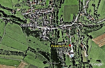
Fossile Flur
Economy, Trade and Transport Ancient Field Systems ID 536
-
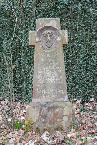
Gedenkkreuz
Religious Buildings Wayside Shrines and Stations of the Cross ID 33878
-
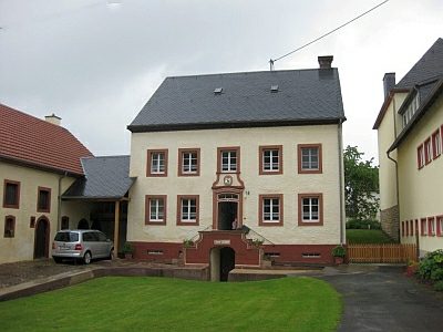
Hofanlage
Residential and Farm Buildings Farmhouses and Farm Buildings ID 2550
-
Im Achtmorgen
Field Names ID 29276
-
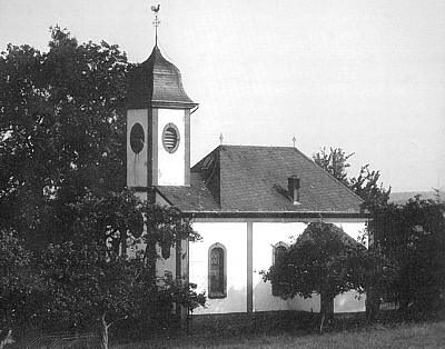
Kapelle bei der Kirche am Brechter Weg
Religious Buildings Chapels ID 7474
-
Marienkapelle auf dem Kuhberg
Religious Buildings Chapels ID 1660
-
Mutmaßliche Brücke
Settlements Settlements ID 25909
-
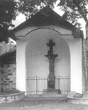
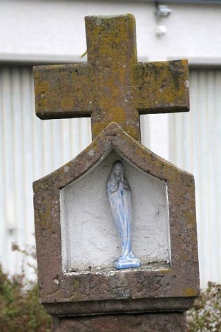
Nischenkreuz
Religious Buildings Wayside Shrines and Stations of the Cross ID 33877
-
Ortsname
Place Names / Local History ID 1284
-
Pautwinkel
Field Names ID 39836
-
Pautwinkel
Field Names ID 39837
-
Quereinhaus mit Kniestock
Residential and Farm Buildings Farmhouses and Farm Buildings ID 35046
-
Römische Palastvilla
Settlements Settlements ID 535
-
Römische Siedlungsspuren
Settlements Settlements ID 12248
-
Römische Siedlungsstelle
Settlements Settlements ID 12247
-
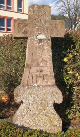
Spätgotisches Hochkreuz
Religious Buildings Wayside Shrines and Stations of the Cross ID 23874
-
Streckhof
Residential and Farm Buildings Farmhouses and Farm Buildings ID 35045
-
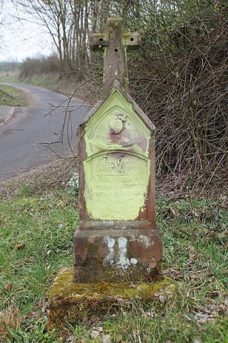
Unfallkreuz
Religious Buildings Wayside Shrines and Stations of the Cross ID 40824
-
Vollmühle am Nierbach
Engineering Structures and Industrial Sites Mills ID 18817
-
Vor Pfaffenrath
Field Names ID 29009
-
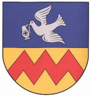
Wappen der Gemeinde Oberweis
Coats of Arms ID 10216
-
Wegekreuz
Religious Buildings Wayside Shrines and Stations of the Cross ID 33873
-
Wegekreuz
Religious Buildings Wayside Shrines and Stations of the Cross ID 33874
-
Wegekreuz
Religious Buildings Wayside Shrines and Stations of the Cross ID 33875
-
Wegekreuz
Religious Buildings Wayside Shrines and Stations of the Cross ID 33876
-
Wegekreuz
Religious Buildings Wayside Shrines and Stations of the Cross ID 33879
-
Winkelhof
Residential and Farm Buildings Farmhouses and Farm Buildings ID 35047
-
Winkelhof
Residential and Farm Buildings Farmhouses and Farm Buildings ID 35048
-
Ortsgeschichte Hoorhof
Place Names / Local History ID 10283
-
Beim Ack
Field Names ID 52720
-
Erste Erwähnung als Alesdorf juxta Bettingen
Place Names / Local History ID 1664
-
Hinterm Ack
Field Names ID 52721
-
Im Holzwinkel
Field Names ID 39833
-
Paternöll
Field Names ID 52220
-
Römische Siedlungsstelle
Settlements Settlements ID 1663
-
Römische Siedlungsstelle
Settlements Settlements ID 12245
-
Unterm Ack
Field Names ID 52719
-
Wappen der Gemeinde Olsdorf
Coats of Arms ID 10215
-
Wegekreuz
Religious Buildings Wayside Shrines and Stations of the Cross ID 32514
-
Wegekreuz
Religious Buildings Wayside Shrines and Stations of the Cross ID 32515
-
Wolfsbüsch
Field Names ID 36839
-
Auf Breitwies
Field Names ID 37056