Daun
2,718 heritage sites in the collective municipality of Daun in the Kulturdatenbank Region Trier.
The map shows all 2,718 results.
-
In der Dell
Field Names ID 45159
-
In der Sauerwies
Field Names ID 34486
-
Katzenheld
Field Names ID 40254
-
Rothheck
Field Names ID 43647
-
Römische Siedlungsstelle
Settlements Settlements ID 11841
-
Römische Siedlungsstelle
Settlements Settlements ID 11842
-
Tephra bei Steiningen
Geological Features Volcanoes ID 30245
-
Unterm Goldborn
Field Names ID 36467
-
Unterm Scheid
Field Names ID 28711
-
Vor Rothenheck
Field Names ID 43184
-
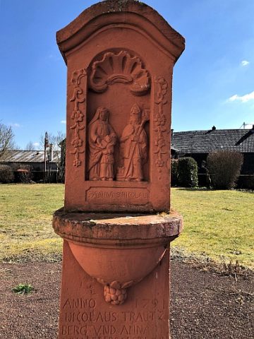
Wegekreuz
Religious Buildings Wayside Shrines and Stations of the Cross ID 26282
-
Wegekreuz
Religious Buildings Wayside Shrines and Stations of the Cross ID 26334
-
Wüstung Allscheid (1)
Settlements Deserted Settlements ID 804
-
Wüstung Allscheid (2)
Settlements Deserted Settlements ID 5824
-
Über Kläsrech
Field Names ID 29913
-
Römische Fundstelle
Settlements Find Sites ID 12123
-
Hinter Buchholz bei der Weierwies
Field Names ID 41868
-
Hügelgräber an der Kreisstraße 25 (1 von 7)
Burials Burial Mounds ID 6464
-
Hügelgräber an der Kreisstraße 25 (2 von 7)
Burials Burial Mounds ID 9087
-
Hügelgräber an der Kreisstraße 25 (3 von 7)
Burials Burial Mounds ID 9088
-
Hügelgräber an der Kreisstraße 25 (4 von 7)
Burials Burial Mounds ID 9089
-
Hügelgräber an der Kreisstraße 25 (5 von 7)
Burials Burial Mounds ID 9090
-
Hügelgräber an der Kreisstraße 25 (6 von 7)
Burials Burial Mounds ID 9091
-
Hügelgräber an der Kreisstraße 25 (7 von 7)
Burials Burial Mounds ID 9092
-
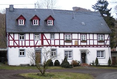
Bockfachwerkhaus
Residential and Farm Buildings Farmhouses and Farm Buildings ID 16486
-
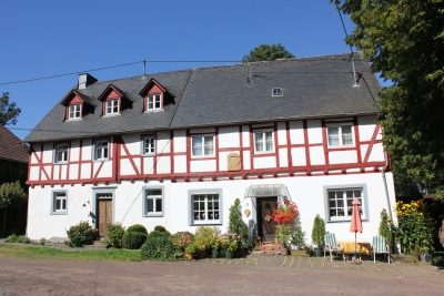
Bockfachwerkhaus
Residential and Farm Buildings Farmhouses and Farm Buildings ID 16487
-
Breitwies
Field Names ID 37075
-
Hof Sprink im Alftal
Place Names / Local History ID 7834
-
Ober der Breitwies
Field Names ID 37074
-
Sprinker Maar
Maars Dry Maars ID 6707
-
Vulkan Sprinker Maar
Geological Features Volcanoes ID 30142
-
Wegekreuz
Religious Buildings Wayside Shrines and Stations of the Cross ID 33499
-
Am Grufenbüsch
Field Names ID 44699
-
Ameisenbüsch
Field Names ID 32943
-
Antonius-Kapellchen
Religious Buildings Chapels ID 16675
-
Aspelt
Field Names ID 41768
-
Auf Adamspesch
Field Names ID 27509
-
Auf der Breitwies
Field Names ID 37080
-
Auf der Breitwies
Field Names ID 37218
-
Aussichtspunkt am Mühlenberg
Viewpoints ID 36008
-
Aussichtspunkt am Mühlenberg
Viewpoints ID 36009
-
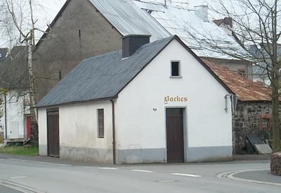
Backes
Residential and Farm Buildings Farmhouses and Farm Buildings ID 5652
-
Bildstock auf dem Strohner Friedhof
Religious Buildings Wayside Shrines and Stations of the Cross ID 17273
-
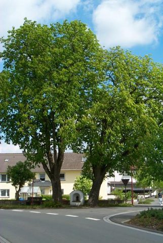
Bildstock unter Rosskastanien
Religious Buildings Wayside Shrines and Stations of the Cross ID 16674
-
Bornwies
Field Names ID 31809