Gerolstein
3,905 heritage sites in the collective municipality of Gerolstein in the Kulturdatenbank Region Trier.
The map shows all 3,905 results.
-
Mühlenpesch
Field Names ID 27363
-
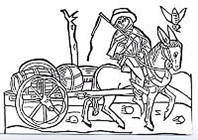
Mühlsteinbruch Birtelshard
Economy, Trade and Transport Extraction and Processing of Raw Materials ID 24189
-
Mühlsteinbruch am Mühlenberg
Economy, Trade and Transport Extraction and Processing of Raw Materials ID 24190
-
Mühlsteinbruch am Roßbüsch
Economy, Trade and Transport Extraction and Processing of Raw Materials ID 24214
-
Mühlsteinbruch am Vulkan Ruderbüsch (1)
Eisenzeitliche Fundstelle 37.1
Economy, Trade and Transport Extraction and Processing of Raw Materials ID 24136
-
Mühlsteinbruch am Vulkan Ruderbüsch (2)
Mittelalterlicher Abbaubereich Fundort 37.
Economy, Trade and Transport Extraction and Processing of Raw Materials ID 24135
-
Oben an der Steinkaul
Field Names ID 27711
-
Ortskern
Historic Townscapes ID 3439
-
Ortsname / Ortsgeschichte
Place Names / Local History ID 3363
-
Sankt Nikolaus - Orgel
Organs ID 13515
-
Schaftzkreuz an der Steinebrück
Unfallkreuz
Religious Buildings Wayside Shrines and Stations of the Cross ID 33012
-
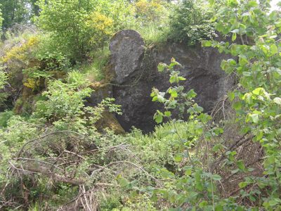
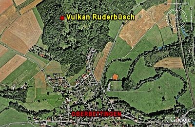
Vulkan Ruderbüsch
Geological Features Volcanoes ID 6668
-
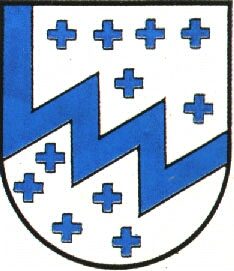
Wappen der Gemeinde Oberbettingen
Coats of Arms ID 4070
-
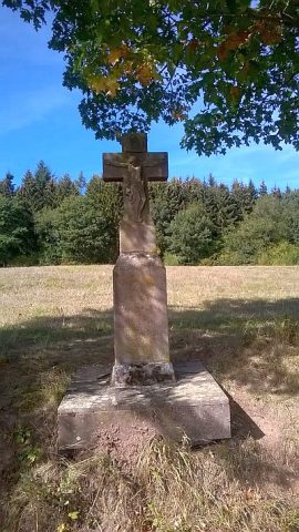
Wegekreuz
Religious Buildings Wayside Shrines and Stations of the Cross ID 3438
-
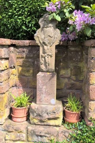
Wegekreuz
Religious Buildings Wayside Shrines and Stations of the Cross ID 30284
-
Wegekreuz
Religious Buildings Wayside Shrines and Stations of the Cross ID 30285
-
Wegekreuz
Religious Buildings Wayside Shrines and Stations of the Cross ID 30286
-
Wegekreuz
Religious Buildings Wayside Shrines and Stations of the Cross ID 30287
-
Wegekreuz
Religious Buildings Wayside Shrines and Stations of the Cross ID 48416
-
Wohn- und Ökonomiegebäude
Residential and Farm Buildings Farmhouses and Farm Buildings ID 16399
-
Am Hasenpütz
Field Names ID 39564
-
An der Schindkaul
Field Names ID 28958
-
Auf dem Seitert am Pützchen
Field Names ID 41586
-
Auf dem Vogelsang
Field Names ID 42587
-
Auf der Lehmkaul
Field Names ID 35937
-
Ausichtspunkt am Reinertsberg
Viewpoints ID 18406
-
Burg Oberehe
Fortifications and Military Sites Castles ID 949
-
Der Heinzenrech
Field Names ID 29980
-
Die Junkerhaid
Field Names ID 40691
-
Die Junkerhaid
Field Names ID 40692
-
Die Seitertssuhren
Field Names ID 41593
-
Ehemalige Nellenburg
Fortifications and Military Sites Castles ID 33569
-
Eifeler Kniestockhaus
Residential and Farm Buildings Farmhouses and Farm Buildings ID 16398
-
Erste Pfarrkirche
Religious Buildings Chapels ID 11370
-
Fachwerkhaus
Residential and Farm Buildings Farmhouses and Farm Buildings ID 16397
-
Friedhofskreuz
Markers and Monuments War Memorials ID 33580
-
Geologischer Rundblick
Viewpoints ID 39085
-
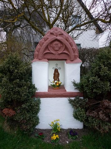
Heiligenhäuschen
Religious Buildings Wayside Shrine Houses ID 18408
-
Im Wolfsgraben
Field Names ID 36951
-
In den nassen Längten
Field Names ID 52863