Gerolstein
3,905 heritage sites in the collective municipality of Gerolstein in the Kulturdatenbank Region Trier.
The map shows all 3,905 results.
-
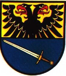
Wappen der Gemeinde Nohn
Coats of Arms ID 4069
-
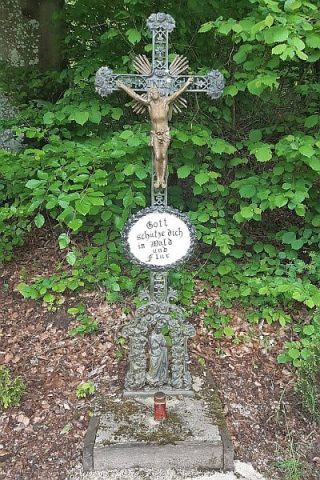
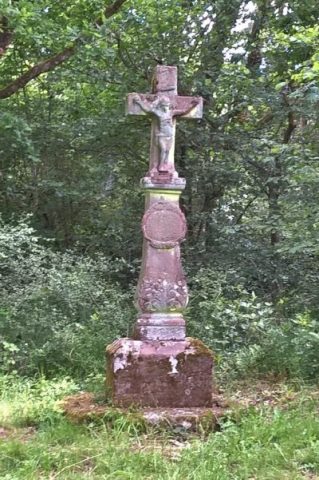
Wegekreuz
Religious Buildings Wayside Shrines and Stations of the Cross ID 32622
-
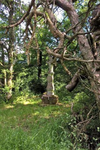
Wegekreuz
Religious Buildings Wayside Shrines and Stations of the Cross ID 32624
-
Wegekreuz
Religious Buildings Wayside Shrines and Stations of the Cross ID 32625
-
Wegekreuz
Religious Buildings Wayside Shrines and Stations of the Cross ID 51457
-
Zwerg-Acker
Field Names ID 36616
-
Über dem Taufenseifen
Field Names ID 48899
-
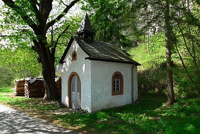
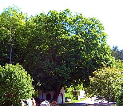
Kapelle an der Nohner Mühle
Religious Buildings Chapels ID 13016
-
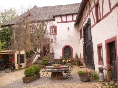
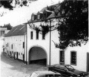
Nohner Mühle
Engineering Structures and Industrial Sites Mills ID 7655
-
Im Stengenpesch
Field Names ID 27358
-
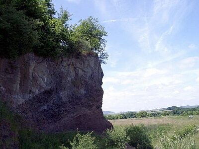
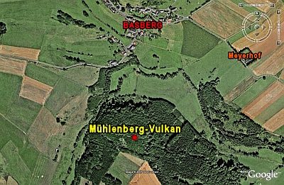
Schlackenkuppe zwischen Mühlenberg und Rudersbüsch
Geological Features Volcanoes ID 30212
-
Alte Schule
Educational Institutions Schools ID 3441
-
Am Auelergraben
Field Names ID 42190
-
Auf dem Klingelsrech
Field Names ID 29995
-
Auf dem krummen Stück
Field Names ID 42360
-
Auf den Eisenfeldern
Field Names ID 36568
-
Auf der Trift
Field Names ID 28427
-
Auf der Wolfskaul
Field Names ID 36955
-
Backeskreuz
Religious Buildings Wayside Shrines and Stations of the Cross ID 16676
-
Ehemalige Mühle
Engineering Structures and Industrial Sites Mills ID 19331
-
Ehemaliger Steinbruch
Economy, Trade and Transport Extraction and Processing of Raw Materials ID 42262
-
Ehemaliger Steinbruch
Economy, Trade and Transport Extraction and Processing of Raw Materials ID 42263
-
Ehemaliger Steinbruch
Economy, Trade and Transport Extraction and Processing of Raw Materials ID 42264
-
Ehemaliger Torfstich
Bogs and Mires Peat Cuttings ID 42226
-
Ehemaliger Torfstich
Bogs and Mires Peat Cuttings ID 42239
-
Eisenzeitlicher Basaltlava-Steinbruch
Economy, Trade and Transport Extraction and Processing of Raw Materials ID 13116
-
Friedhofskapelle
Religious Buildings Chapels ID 13167
-
Im Auelergraben
Field Names ID 42149
-
Im Branspesch
Field Names ID 27361
-
Im Bungert
Field Names ID 28148
-
Im Seitert
Field Names ID 41588
-
Im Seitert
Field Names ID 41604
-
In Reissroth
Field Names ID 43258
-
In Reissroth
Field Names ID 43353
-
In der Auelsheck
Field Names ID 42173
-
In der Held
Field Names ID 40344
-
In der Pützwies
Field Names ID 39559
-
Klärsmühle
Engineering Structures and Industrial Sites Mills ID 7831
-
Kreuz auf der Höhe Zommischberg
Johannes-Wallfahrtskreuz
Religious Buildings Wayside Shrines and Stations of the Cross ID 30283
-
Lühwald-Vulkan
Geological Features Volcanoes ID 6781
-
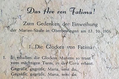
Mariensäule
Religious Buildings Wayside Shrines and Stations of the Cross ID 10434
-
Mühlenpesch
Field Names ID 27362