Gerolstein
3,905 heritage sites in the collective municipality of Gerolstein in the Kulturdatenbank Region Trier.
The map shows all 3,905 results.
-
In Ossenrath
Field Names ID 43713
-
In der Steinkaul am Büsch
Field Names ID 27723
-
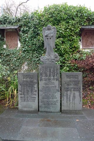
Kirchhof
Parks, Gardens and Cemeteries Christian Cemeteries ID 17617
-
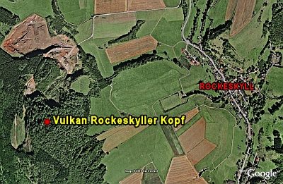
Lavatagebau Rockeskyller Kopf
Economy, Trade and Transport Extraction and Processing of Raw Materials ID 4497
-
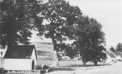
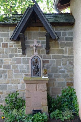
Marienkapelle am Ortseingang
Religious Buildings Chapels ID 17681
-
Marktort Rockeskyll
Economy, Trade and Transport Market Towns ID 25931
-
Mineralquelle
Springs Mineral Springs ID 1591
-
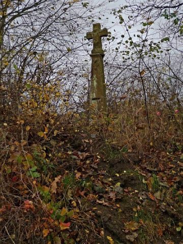
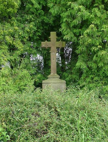
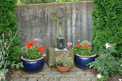
Missionskreuz
Religious Buildings Wayside Shrines and Stations of the Cross ID 17615
-
Mühlsteinbruch Am Köpfchen
Economy, Trade and Transport Extraction and Processing of Raw Materials ID 24199
-
Mühlsteinbruch am Rockeskyller Kopf
Economy, Trade and Transport Extraction and Processing of Raw Materials ID 24147
-
Ortsgeschichte Rockeskyll
Place Names / Local History ID 1589
-
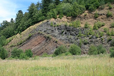
Palgonittuffe zwischen Rockeskyll und Essingen
Geological Features Volcanoes ID 30224
-
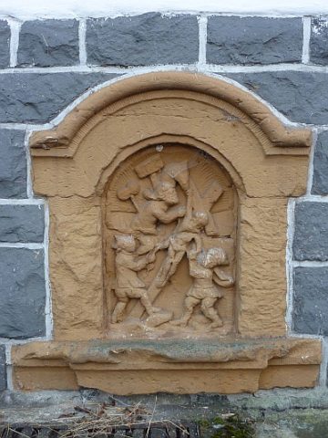
Reliefbilder der Kreuzwegstationen (1)
Religious Buildings Wayside Shrines and Stations of the Cross ID 17847
-
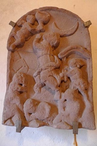
Reliefbilder der Kreuzwegstationen (2)
In der Eingangshalle des alten Kirchturms
Religious Buildings Wayside Shrines and Stations of the Cross ID 17848
-
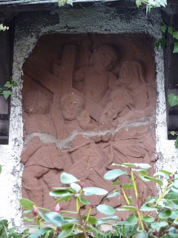
Reliefbilder der Kreuzwegstationen (3)
Außenwand von Sankt Bartholomäus
Religious Buildings Wayside Shrines and Stations of the Cross ID 17849
-
Tommelter Kreuz
Religious Buildings Wayside Shrines and Stations of the Cross ID 17614
-
Trierer Haus
Residential and Farm Buildings Farmhouses and Farm Buildings ID 16589
-
Trierer Haus
Residential and Farm Buildings Farmhouses and Farm Buildings ID 16591
-
Verloren gegangenes Hansenkreuz
Religious Buildings Wayside Shrines and Stations of the Cross ID 17618
-
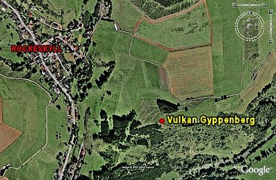
Vulkan Köpfchen
Geological Features Volcanoes ID 30222
-
Vulkan Pferdskopf
Geological Features Volcanoes ID 30197
-
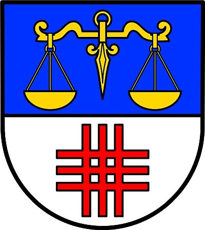
Wappen der Gemeinde Rockeskyll
Coats of Arms ID 1590
-
Wohnhaus
Residential and Farm Buildings Farmhouses and Farm Buildings ID 16621
-
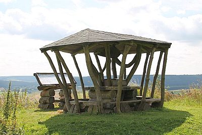
Aussichtspunkt nördlich der Ortslage
Viewpoints ID 17266
-
Ehemaliger Kalkofen
Economy, Trade and Transport Lime Kilns ID 19533
-
Im Seitert
Field Names ID 41568
-
Am Kloppseifen
Field Names ID 38277
-
Am Kloppseifen links
Field Names ID 38286
-
Am Kloppseifen rechts
Field Names ID 38281
-
Auf dem Klopp
Field Names ID 38284
-
Hinter dem Klopp
Field Names ID 38279
-
Hinter dem Klopp
Field Names ID 38280
-
Hinter dem Klopp links am Weg
Field Names ID 38283
-
Vor dem Klopp
Field Names ID 38287
-
Am Heizborn
Field Names ID 31886
-
Am Taufenseifen
Field Names ID 48907
-
Auf Hernseiterrech
Field Names ID 29879
-
Barbelskreuz
Wegekreuz an der K28
Religious Buildings Wayside Shrines and Stations of the Cross ID 17304
-
Beim Kalkofen
Field Names ID 36323
-
Bildstock am Brunnenplatz
Religious Buildings Wayside Shrines and Stations of the Cross ID 17313
-
Bitt-Kreuz
Religious Buildings Wayside Shrines and Stations of the Cross ID 17311
-
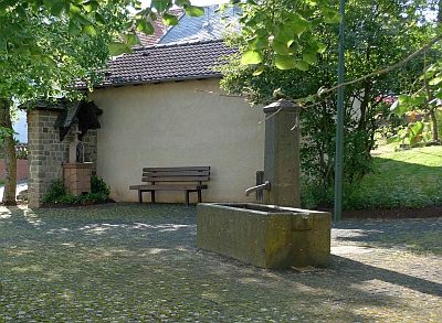
Brunnen
Fountains and Wells ID 17312
-
Der Hirschborn
Field Names ID 31910