Gerolstein
3,905 heritage sites in the collective municipality of Gerolstein in the Kulturdatenbank Region Trier.
The map shows all 3,905 results.
-
Die Disselborner Wiesen
Field Names ID 31971
-
Ehemalige Salmer Mühle
Engineering Structures and Industrial Sites Mills ID 7910
-
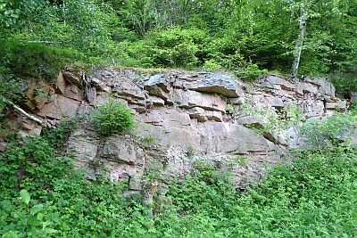
Ehemaliger Gemeindesteinbruch
Economy, Trade and Transport Extraction and Processing of Raw Materials ID 17326
-
Ehemaliges Postgebäude
Administrative Buildings Post Offices ID 17279
-
Erste Erwähnung von Salm
Place Names / Local History ID 1525
-
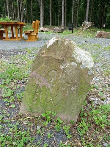
Grenzstein am siebenarmigen Wegweiser
Markers and Monuments Surveying ID 17320
-
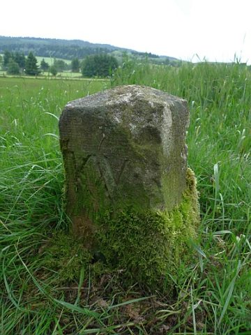
Grenzstein nördlich des Sportplatzes
Markers and Monuments Surveying ID 17321
-
Hirschborn
Fountains and Wells ID 24971
-
Im Mühlenpesch
Field Names ID 27436
-
Im Wittumhofen
Field Names ID 29127
-
In Oberroth
Field Names ID 43562
-
In Oberroth am Berg
Field Names ID 43668
-
In Oberroth bei Hüllscheid
Field Names ID 43655
-
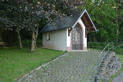
Maria-Hilf-Kapelle
Religious Buildings Chapels ID 17324
-
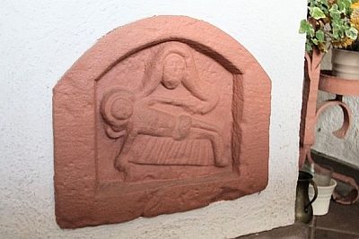
Maria-Hilf-Kapelle - Relief
Religious Buildings Chapels ID 41274
-
Pfarrhaus
Administrative Buildings Rectories ID 41412
-
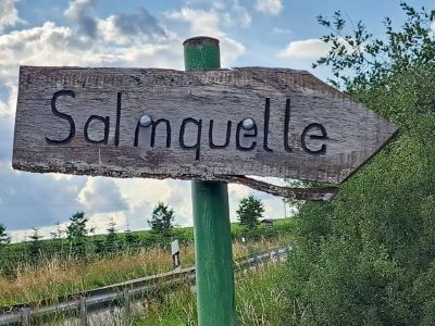
Quelle der Salm
Springs ID 17319
-
Rechts am Kalkofen
Field Names ID 36324
-
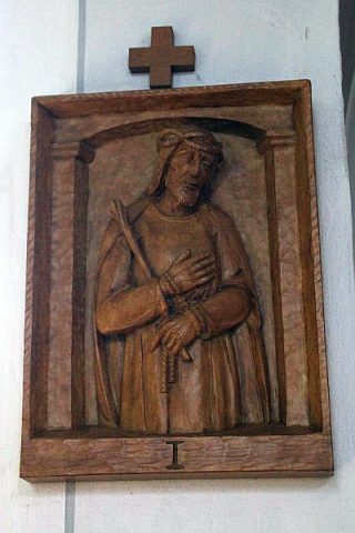
Sankt Hubertus - Kreuzweg (1)
Katholische Pfarrkirche
Religious Buildings Wayside Shrines and Stations of the Cross ID 41424
-
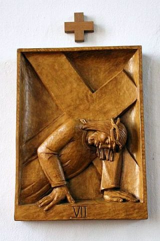
Sankt Hubertus - Kreuzweg (2)
Katholische Pfarrkirche
Religious Buildings Wayside Shrines and Stations of the Cross ID 41425
-
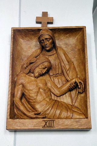
Sankt Hubertus - Kreuzweg (3)
Katholische Pfarrkirche
Religious Buildings Wayside Shrines and Stations of the Cross ID 41426
-
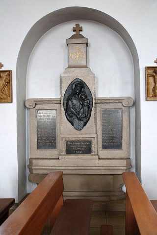
Sankt Hubertus - Kriegerdenkmal 1914-1918
Katholische Pfarrkirche
Markers and Monuments War Memorials ID 41416
-
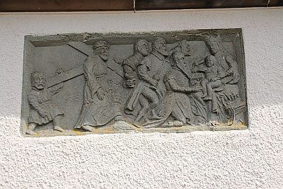
Sankt Hubertus - Relief
Katholische Pfarrkirche
Religious Buildings Wayside Shrines and Stations of the Cross ID 41423
-
Sprinkelborn
Field Names ID 31942
-
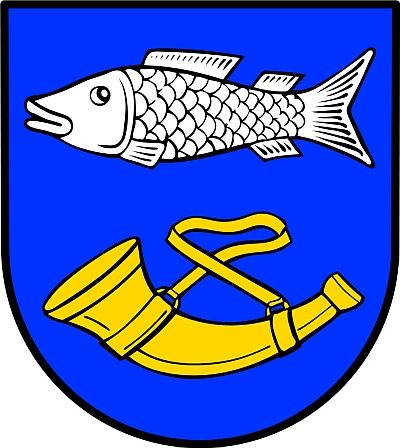
Wappen der Gemeinde Salm
Coats of Arms ID 1585
-
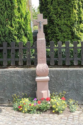
Wegekreuz an der Unterdorfstraße
Religious Buildings Wayside Shrines and Stations of the Cross ID 26014
-
Zwischen den Taufenseifen
Field Names ID 48908
-
Wegekreuz
Field Names ID 33790
-
Wegekreuz
Field Names ID 33792
-
Brückfenn
Field Names ID 26897
-
Unter dem Odenfenn
Field Names ID 26896
-
Westwall - Bunker
Baustärke B1 oder stärker
Fortifications and Military Sites Fortresses and Bunkers ID 19995
-
Beim Hollenborn
Field Names ID 32335
-
Beim Seibertsborn
Field Names ID 32339
-
Ehemalige Kornelius-Kapelle
Religious Buildings Chapels ID 11363
-
Erste Erwähnung von Scheid
Place Names / Local History ID 3431
-
Flialkirche Sankt Kornelius (1)
Religious Buildings Catholic Churches ID 11043
-
Flialkirche Sankt Kornelius (2)
Religious Buildings Catholic Churches ID 16297
-
In den krummen Feldern
Field Names ID 42508
-
Junkerspesch
Field Names ID 40699
-
Schievelerfenn
Field Names ID 26900
-
Schleienpesch
Field Names ID 27452