Hermeskeil
1,564 heritage sites in the collective municipality of Hermeskeil in the Kulturdatenbank Region Trier.
The map shows all 1,564 results.
-
Hirtenwies
Field Names ID 51617
-
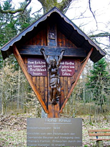
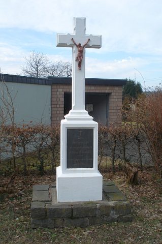
Hohes Kreuz
Auch Holzhauerkreuz genannt
Religious Buildings Wayside Shrines and Stations of the Cross ID 2995
-
Im Unner
Field Names ID 51625
-
In der Gruf
Field Names ID 45241
-
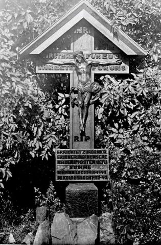
Kriegergedächtniskreuz von 1944 - Erststandort
Markers and Monuments War Memorials ID 9667
-
Meierswies
Field Names ID 38498
-
Ottert
Field Names ID 51618
-
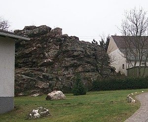
Prosterather Wacken
Rocks ID 2064
-
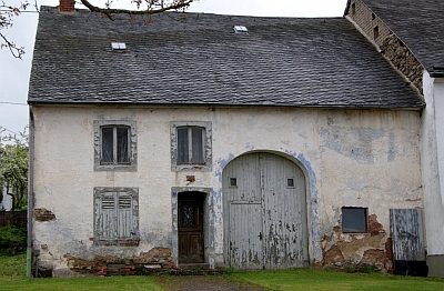
Quereinhaus
Residential and Farm Buildings Farmhouses and Farm Buildings ID 9669
-
Scheiter
Field Names ID 51621
-
Schopperswald
Field Names ID 51619
-
Sogenanntes Langenmichelskreuz
Religious Buildings Wayside Shrines and Stations of the Cross ID 25306
-
Stierwies
Field Names ID 52778
-
Vor dem Unner
Field Names ID 51626
-
Vor der Gruf
Field Names ID 45707
-
Wehlenberg
Field Names ID 51598
-
Wolfstein
Field Names ID 36755
-
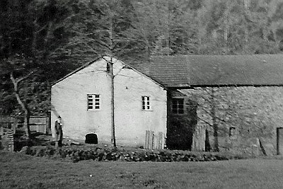
Waldmühle an der kleinen Dhron
Engineering Structures and Industrial Sites Mills ID 7810
-
Alt Röder am Weg
Field Names ID 42025
-
Bornwiese
Field Names ID 30835
-
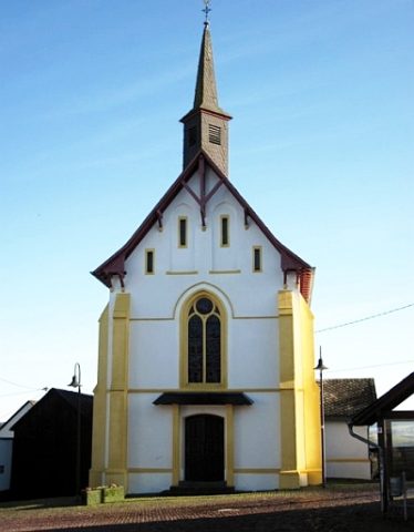
Bruder-Klaus-Kapelle
Religious Buildings Chapels ID 7393
-
Drislerschborn Wies
Field Names ID 30833
-
Ehemaliger Torfstich
Bogs and Mires Peat Cuttings ID 51134
-
Ehemaliger Torfstich
Bogs and Mires Peat Cuttings ID 51135
-
Ehemaliger Torfstich
Bogs and Mires Peat Cuttings ID 51136
-
Holzkreuz
Religious Buildings Wayside Shrines and Stations of the Cross ID 25308
-
Katzenberg
Field Names ID 38330
-
Kreuz im Hinteren Ecken
Religious Buildings Wayside Shrines and Stations of the Cross ID 25309
-
Kriegerdenkmal
Markers and Monuments War Memorials ID 34163
-
Oberste Röder
Field Names ID 42116
-
Obersten Großen Röder
Field Names ID 42070
-
Ortsname / Ortsgeschichte
Place Names / Local History ID 3526
-
Unterste Röder
Field Names ID 42071
-
Untersten Großen Röder
Field Names ID 42090
-
Waldhüttendorf Welschlonkich
Settlements Deserted Settlements ID 10601
-
Wappen der Gemeinde Damflos
Coats of Arms ID 7394
-
Westwall - Gefechtsstand (Inf. Komp.führer)
Baustärke B1 oder stärker
Fortifications and Military Sites Fortresses and Bunkers ID 22253
-
Westwall - Gefechtsstand (Inf. Komp.führer)
Baustärke B1 oder stärker
Fortifications and Military Sites Fortresses and Bunkers ID 22254
-
Westwall - Maschinengewehr-Schartenstand
Fortifications and Military Sites Fortresses and Bunkers ID 22255
-
Glashütte
Economy, Trade and Transport Extraction and Processing of Raw Materials ID 10602
-
Aussichtspunkt am Schockelsberg
Viewpoints ID 4415
-
Bauscheider Kreuz
Religious Buildings Wayside Shrines and Stations of the Cross ID 25107
-
Rote Kapelle
Religious Buildings Chapels ID 24851