Hermeskeil
1,564 heritage sites in the collective municipality of Hermeskeil in the Kulturdatenbank Region Trier.
The map shows all 1,564 results.
-
Revierförsterhaus
Administrative Buildings Forester's Lodges ID 9694
-
Rohrt beim Dorfborn
Field Names ID 30938
-
Sauerbornswald
Field Names ID 30984
-
Sauerwies
Field Names ID 34450
-
Schiefer-Bruch Bei der Leienkaul
Economy, Trade and Transport Extraction and Processing of Raw Materials ID 18902
-
Schiefer-Bruch Gottenberg
Economy, Trade and Transport Extraction and Processing of Raw Materials ID 18956
-
Schiefer-Bruch Laienkaul
Economy, Trade and Transport Extraction and Processing of Raw Materials ID 18903
-
Schiefer-Bruch am Peterberg
Economy, Trade and Transport Extraction and Processing of Raw Materials ID 18901
-
Schleidrech
Field Names ID 29624
-
Schulmeistereikopf
Field Names ID 51623
-
Sogenanntes Schneidischkreuz
Religious Buildings Wayside Shrines and Stations of the Cross ID 25307
-
Spiesdrieschen
Field Names ID 29509
-
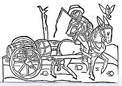
Trasse der Weinstraße (7)
Von der Mosel nach Wadrill
Economy, Trade and Transport Road Transport ID 8044
-
Trigonometrisches Signal
Markers and Monuments Surveying ID 48830
-
Trigonometrisches Signal Hohe Wurzel
Markers and Monuments Surveying ID 44582
-
Unter der Perg
Field Names ID 34198
-
Unterste Zehntriescher
Field Names ID 29357
-
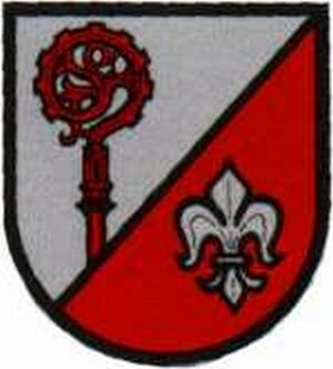
Wappen der Gemeinde Beuren (Hochwald)
Coats of Arms ID 7977
-
Wegekreuz
Religious Buildings Wayside Shrines and Stations of the Cross ID 32384
-
Wegekreuz
Religious Buildings Wayside Shrines and Stations of the Cross ID 32385
-
Wegekreuzung 3 Marken
Legal Monuments ID 7386
-
Weierseifen
Field Names ID 51593
-
Wittum zum Haupenweg
Field Names ID 29119
-
Wittum zum Pfaffenberg
Field Names ID 29055
-
Wolfsgarten
Field Names ID 51596
-
Zehndriescher
Field Names ID 29508
-
Quiriakus-Kreuz
Religious Buildings Wayside Shrines and Stations of the Cross ID 25325
-
Abbau der Milchquarzitblöcke
Economy, Trade and Transport Extraction and Processing of Raw Materials ID 10611
-
Am Hasenunner
Field Names ID 51627
-
Auf dem Gesrech
Field Names ID 29639
-
Auf der Pferdskaul
Field Names ID 51616
-
Aussichtspunkt Wolfsstein
Viewpoints ID 4365
-
Bei der Gruf
Field Names ID 44876
-
Bei der Sellmark
Field Names ID 51620
-
Beim Schafspuhl
Field Names ID 51622
-
Burgwall auf dem Moosberg
Fortifications and Military Sites Ring Forts ID 48316
-
Dauwelsberg
Field Names ID 51597
-
Die Fürender
Field Names ID 51615
-
Die Mark Thalfang
Place Names / Local History ID 3548
-
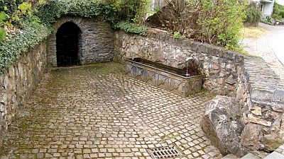
Dorfbrunnen
Fountains and Wells ID 9668
-
Ehemaliger Dachschieferbruch
Economy, Trade and Transport Extraction and Processing of Raw Materials ID 51603
-
Glockengießerei Cornely
Bell Foundries ID 10650
-
Grufwiesen
Field Names ID 44973