Kelberg
1,135 heritage sites in the collective municipality of Kelberg in the Kulturdatenbank Region Trier.
The map shows all 1,135 results.
-
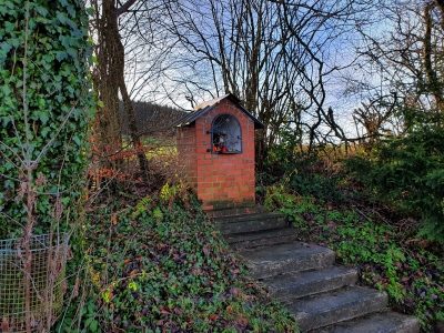
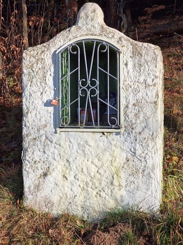
Heiligenhäuschen
Religious Buildings Wayside Shrine Houses ID 30270
-
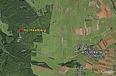
Hochkelberg
Gipfelburg (Ringabschnittswall)
Fortifications and Military Sites Hilltop Castles ID 5753
-
Hügel am Hochkelberg
Burials Burial Mounds ID 12187
-
In dem krummen Acker
Field Names ID 42382
-
In den Murtenfeldern
Field Names ID 41652
-
In der Unterstruth
Field Names ID 26889
-
In der Winkelswiese
Field Names ID 39929
-
Kaiserlinde mit Gedenkstein
Markers and Monuments Commemorative Plantings ID 6938
-
Ortsgeschichte Kolverath
Place Names / Local History ID 3124
-
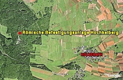
Römische Befestigungsanlage Hochkelberg
Geschichtsstraße - Station 7
Fortifications and Military Sites Hilltop Castles ID 6299
-
Spätrömische Siedlung
Settlements Settlements ID 12185
-
Streckhof
Residential and Farm Buildings Farmhouses and Farm Buildings ID 16497
-
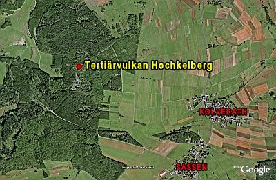
Tertiärvulkan Hochkelberg
Geological Features Volcanoes ID 6300
-
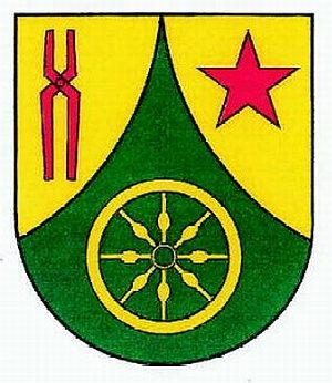
Wappen der Gemeinde Kolverath
Coats of Arms ID 10064
-
Bei dem Steinborn
Field Names ID 32201
-
Bei den alten Wiesen über dem Kaulenborn
Field Names ID 32188
-
Ehemaliges Gemeindebackhaus
Residential and Farm Buildings Farmhouses and Farm Buildings ID 34257
-
Hasenpesch
Field Names ID 27258
-
In der Kirchenwiese
Field Names ID 46232
-
Kaiserlinde mit Gedenkstein
Markers and Monuments Commemorative Plantings ID 6937
-
Kapelle
Religious Buildings Chapels ID 16496
-
Ortsgeschichte Kötterichen
Place Names / Local History ID 3125
-
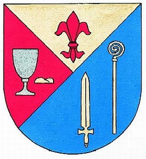
Wappen der Gemeinde Kötterichen
Coats of Arms ID 10063
-
Wegekreuz
Religious Buildings Wayside Shrines and Stations of the Cross ID 33008
-
Über dem Hasenpesch
Field Names ID 27259
-
An der Heerstraße
Field Names ID 52211
-
Auf dem Holzweg
Field Names ID 53110
-
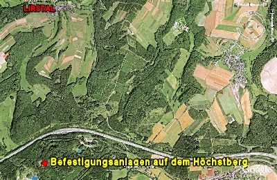
Befestigungsanlagen auf dem Höchstberg
Fortifications and Military Sites Hilltop Castles ID 10075
-
Die Schlacht am Höchst
Place Names / Local History Battlefields ID 14831
-
Die Schlacht am Höchst - Wall- und Grabenanlagen
Place Names / Local History Battlefields ID 22955
-
Die Schlacht am Höchst - Wall- und Grabenanlagen
Place Names / Local History Battlefields ID 22956
-
Die Schlacht am Höchst - Wall- und Grabenanlagen
Place Names / Local History Battlefields ID 52942
-
Ehemalige Neu-Mühle am Elzbach
Engineering Structures and Industrial Sites Mills ID 18791
-
Ehemaliger Steinbruch
Economy, Trade and Transport Extraction and Processing of Raw Materials ID 46986
-
Ehemaliger Steinbruch
Economy, Trade and Transport Extraction and Processing of Raw Materials ID 46987
-
Gäst Kehr
Field Names ID 38132
-
Heiligenhäuschen
Religious Buildings Wayside Shrine Houses ID 10078
-
Heiligenhäuschen im Holzbüsch
Religious Buildings Wayside Shrine Houses ID 22952
-
Kaiserlinde mit Gedenkstein
Markers and Monuments Commemorative Plantings ID 6939
-
Kirche Unserer lieben Frau Fatima
Religious Buildings Catholic Churches ID 10077
-
Lirstaler Mühle
Engineering Structures and Industrial Sites Mills ID 10120
-
Ober der Heerstraße
Field Names ID 52212
-
Ortsgeschichte Lirstal
Place Names / Local History ID 3126
-
Römische Siedlungsstelle
Settlements Settlements ID 12188