Trier-Land
3,433 heritage sites in the collective municipality of Trier-Land in the Kulturdatenbank Region Trier.
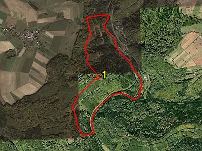
The map shows all 3,433 results.
-
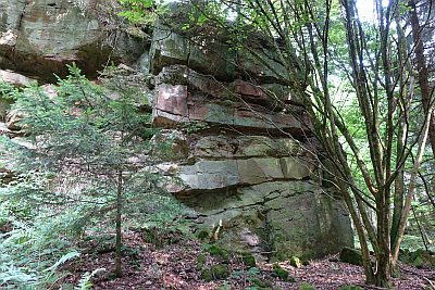
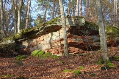
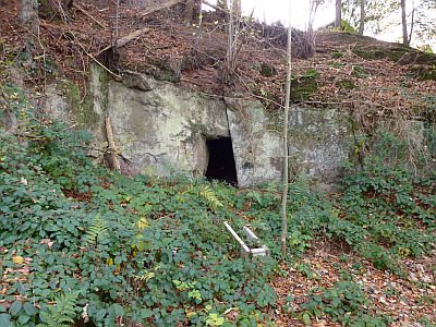
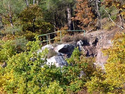
Fels im Butzerberg südlich Kordel
Rocks ID 40453
-
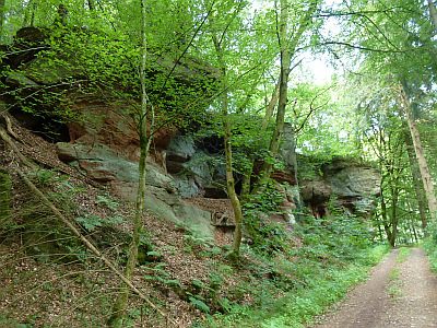
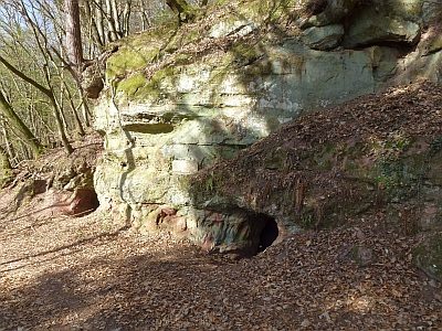
Fels im Butzerberg südlich Kordel
Rocks ID 40454
-
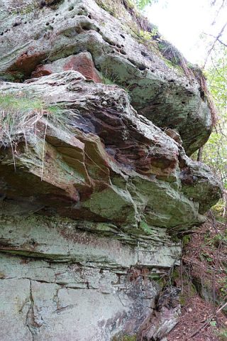
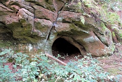
Fels südlich Reitzenmühle
Rocks ID 39381
-
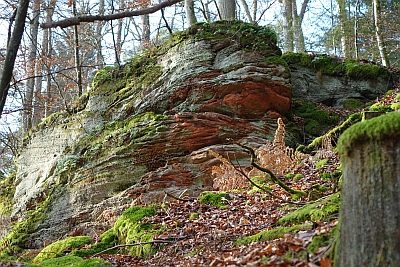
Felsen Im obersten Heidenberg
Rocks ID 41399
-
Felsen am Westhang des Römerbergs
Rocks ID 40421
-
Felsen westlich des unteren Lohrbachtals
Rocks ID 40420
-
Felsen westlich des unteren Lohrbachtals
Rocks ID 40448
-
Felsen westlich des unteren Lohrbachtals
Rocks ID 40449
-
Felsen westlich des unteren Lohrbachtals
Rocks ID 40450
-
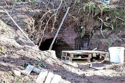
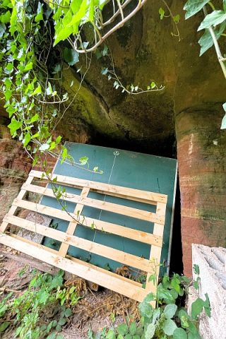
Felsenhöhle
Caves ID 24477
-
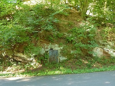
Felsenhöhle als Bunker
Fortifications and Military Sites Fortresses and Bunkers ID 50253
-
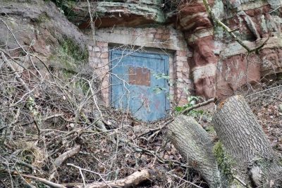
Felsenhöhle als Bunker
Fortifications and Military Sites Fortresses and Bunkers ID 50419
-
Felsenhöhle als Bunker
Fortifications and Military Sites Fortresses and Bunkers ID 53684
-
Felsenhöhle als Bunker
Fortifications and Military Sites Fortresses and Bunkers ID 55103
-
Felsenhöhle im Borberg als Bunker
Fortifications and Military Sites Fortresses and Bunkers ID 24249
-
Felsenhöhle im Frohnholzberg als Bunker
Fortifications and Military Sites Fortresses and Bunkers ID 24219
-
Felsenhöhle im Vogelskopf
Caves ID 50470
-
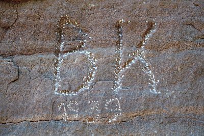
Felswand am Fuß des Steinkopfs - Inschriften
Markers and Monuments Inscriptions ID 40891
-
Felswand am Fuß des Steinkopfs - Westlicher Teil
Rocks ID 40422
-
Felswand am Fuß des Steinkopfs - Östlicher Teil
Rocks ID 40890
-
Felszug im Mäusberg
Rocks ID 41430
-
Felszug unter der Fitscherheldkanzel
Rocks ID 41479
-
Fitscherheld-Kanzel
Rocks ID 3644
-
Friedbüsch - Trigonometrischer Punkt
Markers and Monuments Surveying ID 41398
-
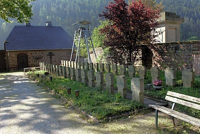
Friedhof - Grabsteine der Kriegsopfer
Religious Buildings Burial Sites ID 40500
-
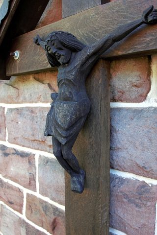
Friedhof - Kruzifix an der Trauerhalle
Religious Buildings Burial Sites ID 53212
-
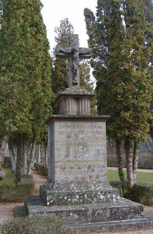
Friedhofskreuz
Markers and Monuments War Memorials ID 3971
-
Fuchskaul
Field Names ID 38958
-
Furt durch den Altbach
Economy, Trade and Transport Fords ID 52295
-
Gedenkstein im Frohnholzberg
Markers and Monuments Inscriptions ID 57305
-
Gedenktafel
Markers and Monuments Monuments ID 48149
-
Gedenktafel am Sportplatz
Markers and Monuments Monuments ID 52115
-
Glashütte im Kernisch-Loch
Wüstung
Economy, Trade and Transport Extraction and Processing of Raw Materials ID 42898
-
Hanfstücke hinter Müllershaus
Field Names ID 18435
-
Hans-Bauer-Weg
Place Names / Local History Street Names ID 35504
-
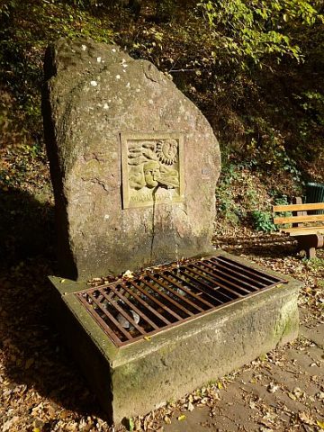
Hexenbrunnen
Fountains and Wells Works of Art ID 23677
-
Hexenley
Rocks ID 23672
-
Heyminnerbach
Field Names ID 49912
-
Hinter Fitscherheld
Field Names ID 18466
-
Hinter Müllershaus
Field Names ID 18434
-
Hinter Panslei
Field Names ID 39111
-
Hinter dem Wehr
Field Names ID 18383
-
Hinter der Lay
Field Names ID 38998
-
Hinterste Gass ober dem Weg
Field Names ID 42741
-
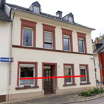
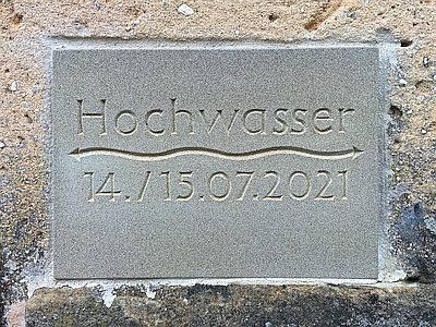
Hochwassermarke
Markers and Monuments Flood Marks ID 52410
-
Hochwassermarke
Markers and Monuments Flood Marks ID 57417