Trier-Land
3,433 heritage sites in the collective municipality of Trier-Land in the Kulturdatenbank Region Trier.
The map shows all 3,433 results.
-
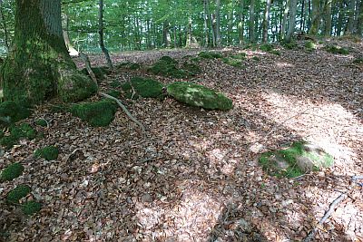
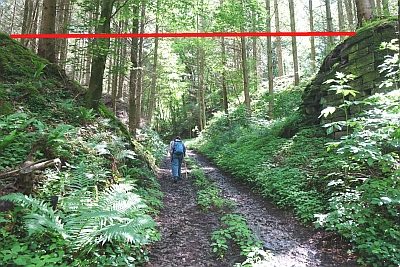
Spätrömische Langmauertrasse im Friedbüsch
Fortifications and Military Sites Roman Long Wall ID 41401
-
Stadtfelder
Field Names ID 18351
-
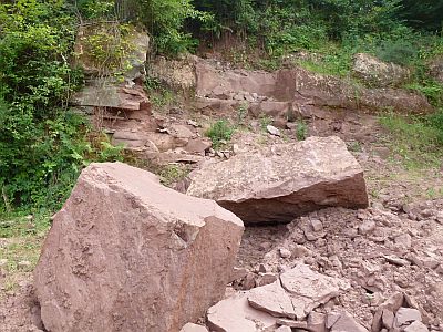
Steinbruch Im Butzerberg
Economy, Trade and Transport Extraction and Processing of Raw Materials ID 18945
-
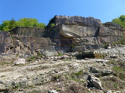
Steinbruch am Steinkopf
Economy, Trade and Transport Extraction and Processing of Raw Materials ID 18952
-
Steinbruch auf dem Römerberg - Fundstelle
Settlements Find Sites ID 12203
-
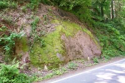
Straßenanschnitt an der Kreisstraße 22
Geological Features ID 40949
-
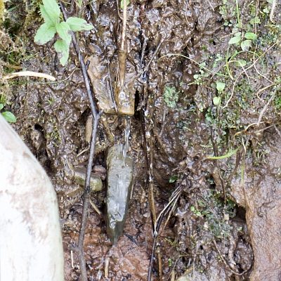
Sturzquelle in ehem. Steinbruch südl. Reitzenmühle
Springs ID 40479
-
Trigonometrischer Punkt an der Pfarrkirche
Markers and Monuments Surveying ID 47990
-
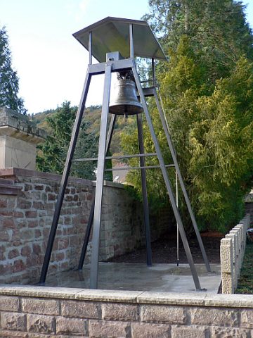
Turm mit Sankt-Amandus-Glocke
Religious Buildings Bell Towers ID 39088
-
Unfallkreuz
Religious Buildings Wayside Shrines and Stations of the Cross ID 10664
-
Unten auf dem Kreuzfeld
Field Names ID 42737
-
Unten auf dem Sabel
Field Names ID 38983
-
Unten im Latzenberg
Field Names ID 38964
-
Unter Dalien
Field Names ID 18604
-
Unter Kaderichswies
Field Names ID 18363
-
Unter Kobengründchen
Field Names ID 18361
-
Unter dem Pfahl
Field Names ID 38659
-
Unter der Tauer
Field Names ID 18324
-
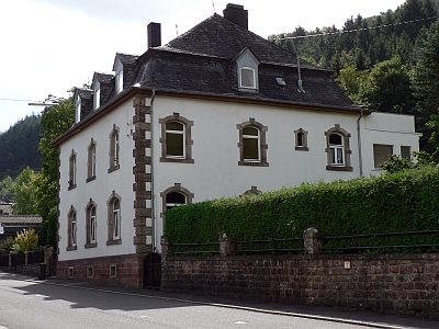
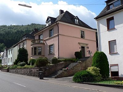
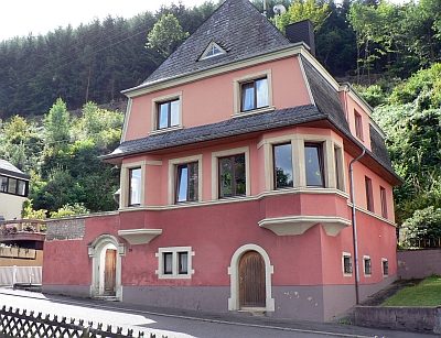
Villa Jacob Lieser
Residential and Farm Buildings Town Houses and Commercial Buildings ID 10176
-
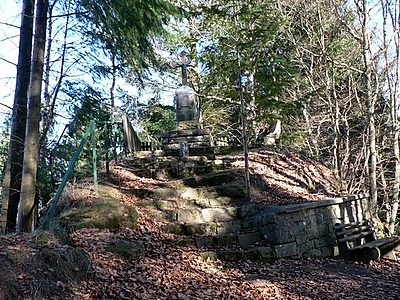
Vogelskreuz
7. Station des Fußfallkreuzwegs
Religious Buildings Wayside Shrines and Stations of the Cross ID 3558
-
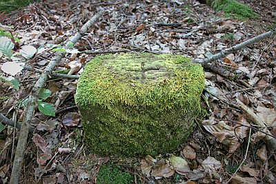
Vogelskreuz - Alter Grenzstein
Markers and Monuments Surveying ID 47936
-
Vogelskreuz - Trigonometrischer Punkt
Markers and Monuments Surveying ID 47935
-
Vor Butzerberg
Field Names ID 39000
-
Vor den Büscheln
Field Names ID 38999
-
Vorderste Held
Field Names ID 38981
-
Vorkommen von Kupfermineralien
Economy, Trade and Transport Extraction and Processing of Raw Materials ID 13185
-
Vorn auf dem Dalien
Field Names ID 18422
-
Wappen der Gemeinde Kordel
Coats of Arms ID 2635
-
Waschbrett - Ehemaliger Waschplatz an der Kyll
Historic Townscapes Washing Places ID 47982
-
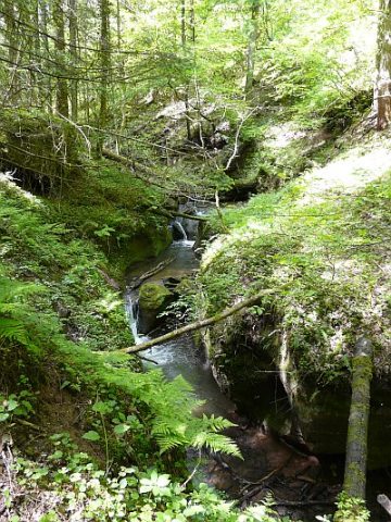
Wasserfall im Kimmlinger Bach
Waterfalls ID 24003
-
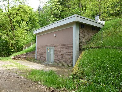
Wasserhochbehälter
Water Supply ID 39101
-
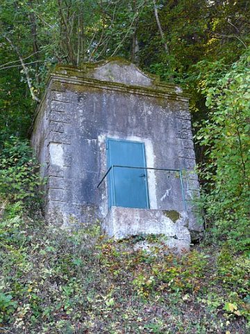
Wasserhochbehälter im Tauenberg
Water Supply ID 19169
-
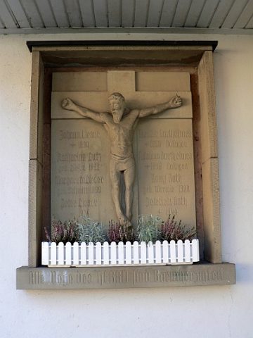
Wegebild
Religious Buildings Wayside Shrines and Stations of the Cross ID 10663
-
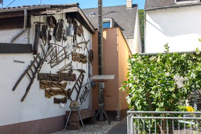
Werkzeugausstellung
Educational Institutions Exhibitions, Cultural Centres and Memorial Sites ID 47919
-
Wildland ober der Brücke
Field Names ID 42736
-
Winterbach
Field Names ID 18388
-
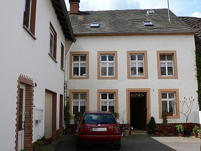
Wohnhaus
Residential and Farm Buildings Farmhouses and Farm Buildings ID 3969
-
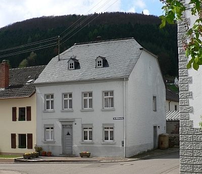
Wohnhaus
Residential and Farm Buildings Town Houses and Commercial Buildings ID 3984
-
Wohnhaus
Denkmalzone Im Mühlenecken
Residential and Farm Buildings Farmhouses and Farm Buildings ID 9879
-
Wohnhaus
Denkmalzone Im Mühlenecken
Residential and Farm Buildings Farmhouses and Farm Buildings ID 9880
-
Wohnhaus
Denkmalzone Im Mühlenecken
Residential and Farm Buildings Farmhouses and Farm Buildings ID 9881
-
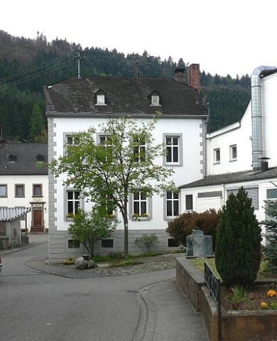
Wohnhaus
Residential and Farm Buildings Town Houses and Commercial Buildings ID 10175
-
Wohnhaus
Residential and Farm Buildings Town Houses and Commercial Buildings ID 10177
-
Zerstörte Brücke über die Kyll
Economy, Trade and Transport Road Transport ID 18647
-
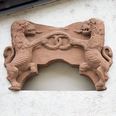
Zunftzeichen der Bäcker
Markers and Monuments Works of Art ID 36115
-
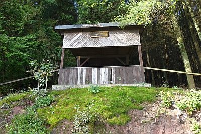
Zur schönen Aussicht
Viewpoints ID 44618
-
Zwei Widerlager
Economy, Trade and Transport Extraction and Processing of Raw Materials ID 47738
-
Über dem Maar
Field Names ID 18586