Wittlich-Land

3,151 heritage sites in the collective municipality of Wittlich-Land in the Kulturdatenbank Region Trier.

3,151 objects · 913–960

  1. Aufm hintersten Bungert

    Esch (Bernkastel-Wittlich), Esch, Salmstraße / Römerstraße Circa 1100 bis circa 1500

    Field Names ID 28164

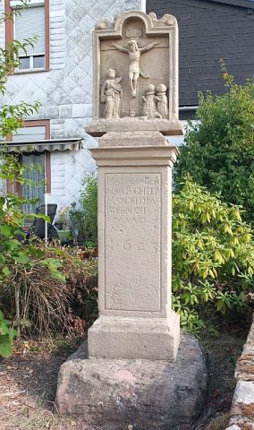
  2. Bildstock

    Esch (Bernkastel-Wittlich), Esch, Vor Römerstraße 1 1623

    Religious Buildings Wayside Shrines and Stations of the Cross ID 51747

  3. Burg Esch

    Wüstung

    Esch (Bernkastel-Wittlich), Esch Circa 1100 bis circa 1500

    Fortifications and Military Sites Castles ID 421

  4. Dorfbrunnen

    Esch (Bernkastel-Wittlich), Esch 11.05.1972

    Fountains and Wells Works of Art ID 7850

  5. Ehemalige Furt durch die Salm

    Esch (Bernkastel-Wittlich), Esch 1900

    Economy, Trade and Transport Fords ID 51168

  6. Im Gerstendriesch

    Esch (Bernkastel-Wittlich), Esch Undatiert

    Field Names ID 29535

  7. Im Gerstendriesch nach Esch

    Esch (Bernkastel-Wittlich), Esch Undatiert

    Field Names ID 29538

  8. Im Mühlenrechsrechs Garten

    Esch (Bernkastel-Wittlich), Esch Undatiert

    Field Names ID 29742

  9. Im Putzwinkel

    Esch (Bernkastel-Wittlich), Esch Undatiert

    Field Names ID 39813

  10. Im Rundenpesch

    Esch (Bernkastel-Wittlich), Esch Undatiert

    Field Names ID 27100

  11. Im vordersten Bungert

    Esch (Bernkastel-Wittlich), Esch Circa 1100 bis circa 1500

    Field Names ID 28260

  12. Mühlenrech

    Esch (Bernkastel-Wittlich), Esch Undatiert

    Field Names ID 29741

  13. Ortsgeschichte Esch

    Esch (Bernkastel-Wittlich), Esch Circa 500 vor Chr. bis circa 500 nach Chr.

    Place Names / Local History ID 1489

  14. Sankt Nikolaus

    Katholische Filialkirche

    Esch (Bernkastel-Wittlich), Esch, Auf der Burg 2 A 1408

    Religious Buildings Catholic Churches ID 1718

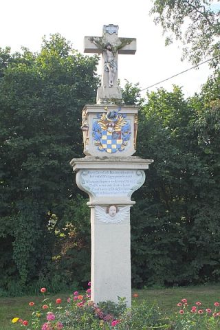
  15. Sogenanntes Koppensteinkreuz

    Esch (Bernkastel-Wittlich), Esch, Brunnenstraße 1653

    Religious Buildings Wayside Shrines and Stations of the Cross ID 6965

  16. Stadtrechte

    Esch (Bernkastel-Wittlich), Esch 31.05.1376 [Sammelprivileg]

    Chartered Towns ID 6829

  17. Wappen der Gemeinde Esch

    Esch (Bernkastel-Wittlich), Esch 13.03.1972 [Genehmigung]

    Coats of Arms ID 7862

  18. Wohnhaus

    Esch (Bernkastel-Wittlich), Esch, Römerstraße 4 17./18. Jahrhundert

    Residential and Farm Buildings Farmhouses and Farm Buildings ID 15759

  19. Wohnhaus

    Esch (Bernkastel-Wittlich), Esch, Römerstraße 6 17./18. Jahrhundert

    Residential and Farm Buildings Farmhouses and Farm Buildings ID 15760

  20. Ehemalige Escher Mühle im Salmtal

    Esch (Bernkastel-Wittlich), Eschermühle 1338

    Engineering Structures and Industrial Sites Mills ID 7601

  21. Bei den Aspeln

    Gipperath Undatiert

    Field Names ID 41795

  22. Beim Grauborn

    Gipperath Undatiert

    Field Names ID 31703

  23. Ehemalige Kiesgrube

    Gipperath 1886

    Economy, Trade and Transport Extraction and Processing of Raw Materials ID 34711

  24. Ehemaliger Steinbruch

    Gipperath 1886

    Economy, Trade and Transport Extraction and Processing of Raw Materials ID 34710

  25. Ehemaliger Steinbruch

    Gipperath 1893

    Economy, Trade and Transport Extraction and Processing of Raw Materials ID 35649

  26. Eichenhain bei Gipperath

    Naturdenkmal

    Gipperath Undatiert

    Trees Oaks ID 5420

  27. Eichenhain bei Gipperath

    Naturdenkmal

    Gipperath Undatiert

    Trees Oaks ID 38562

  28. Feldkapelle am Hochwasem

    Gipperath Undatiert

    Religious Buildings Chapels ID 16741

  29. Gautenpesch

    Gipperath Undatiert

    Field Names ID 27151

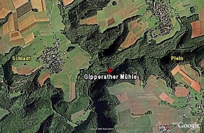
  30. Gipperather Mühle (1)

    Gipperath 1880

    Settlements Deserted Settlements ID 293

  31. Gipperather Mühle (2)

    Gipperath Nach 1700

    Settlements Deserted Settlements ID 16632

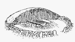
  32. Grabhügel

    Gipperath Undatiert

    Burials Burial Mounds ID 3670

  33. Grabhügel

    Gipperath Undatiert

    Burials Burial Mounds ID 41294

  34. Halbenmorgen

    Gipperath Undatiert

    Field Names ID 29246

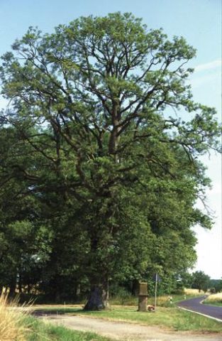
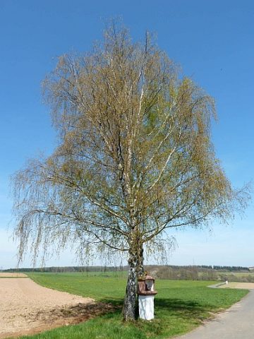
  35. Heiligenhäuschen unter der Eiche

    Gipperath 18. Jahrhundert

    Religious Buildings Wayside Shrine Houses ID 15317

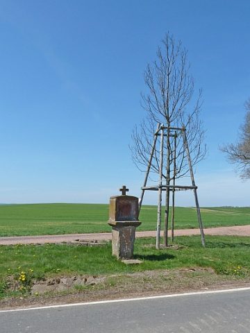
  36. Heiligenhäuschen von 1761

    Gipperath 1761

    Religious Buildings Wayside Shrine Houses ID 15318

  37. Höllental

    Gipperath Undatiert

    Field Names ID 36651

  38. Lehmkaul

    Gipperath Undatiert

    Field Names ID 35921

  39. Ober den Aspeln

    Gipperath Undatiert

    Field Names ID 41793

  40. Oberster Ritzenpesch

    Gipperath Undatiert

    Field Names ID 27152

  41. Ritzenpesch

    Gipperath Undatiert

    Field Names ID 27153

  42. Römische Oberflächenfunde

    Sportplatz

    Gipperath Circa 500 vor Chr. bis circa 500 nach Chr.

    Settlements Find Sites ID 12372

  43. Sandkaul

    Gipperath Undatiert

    Field Names ID 40720

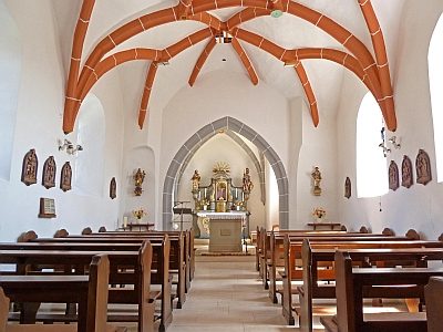
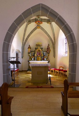
  44. Sankt Quirin (1)

    Gipperath, Hauptstraße 30 16. Jahrhundert

    Religious Buildings Chapels ID 18534

  45. Sankt Quirin (2)

    Gipperath, Hauptstraße 30 16. Jahrhundert

    Religious Buildings Chapels ID 1609

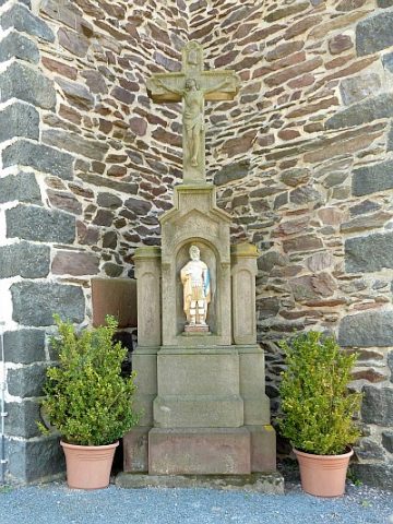
  46. Sankt Quirin - Kreuz mit dem Heiligen

    Gipperath, Hauptstraße 30 1899

    Religious Buildings Wayside Shrines and Stations of the Cross ID 6957

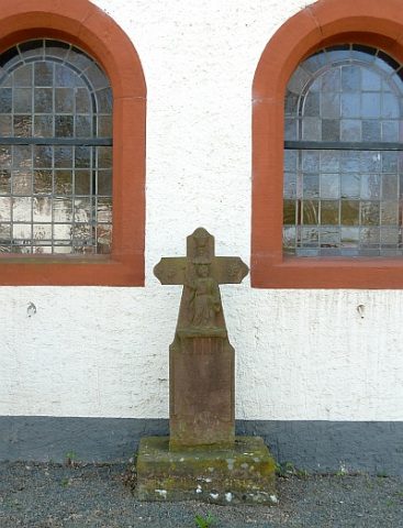
  47. Sankt Quirin - Kreuz vor der Kirche

    Gipperath, Hauptstraße 30 Undatiert

    Religious Buildings Wayside Shrines and Stations of the Cross ID 18514

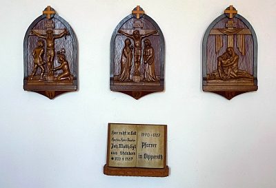
  48. Sankt Quirin - Kreuzweg

    Gipperath, Hauptstraße 30 1899

    Religious Buildings Wayside Shrines and Stations of the Cross ID 18535