Vulkaneifel
7,758 heritage sites in Vulkaneifel in the Kulturdatenbank Region Trier.
The map shows all 7,758 results.
-
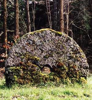
Mühlsteinbruch Feldflur südwestlich Alter Voß
Economy, Trade and Transport Extraction and Processing of Raw Materials ID 24183
-
Mühlsteinbruch am Bickenberg
Economy, Trade and Transport Extraction and Processing of Raw Materials ID 24182
-
Mühlsteinbruch am Feuerberg
Economy, Trade and Transport Extraction and Processing of Raw Materials ID 24159
-
Mühlsteinhöhle
Caves ID 23186
-
Mühlsteinhöhle
Caves ID 23187
-
Mühlsteinhöhle Borussia-Grotte
Caves ID 1516
-
Mühlsteinhöhle Schwedenfeste Grotte
Caves ID 23185
-
Römische Gräber
Burials Burial Mounds ID 12663
-
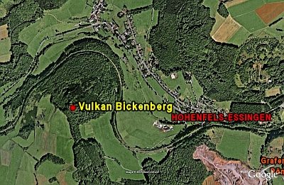
Vulkan Bickenberg
Geological Features Volcanoes ID 6663
-
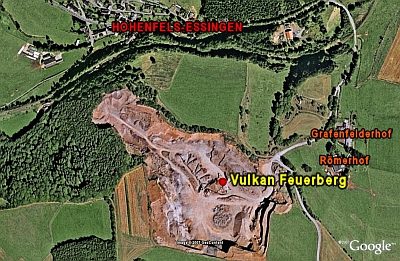
Vulkan Feuerberg
Geological Features Volcanoes ID 6640
-
Vulkan Mühlenberg
Geological Features Volcanoes ID 30182
-
Vulkan Mühlenberg - Höhe Kümmel
Geological Features Volcanoes ID 30183
-
Vulkan südwestlich vom Mühlenberg
Geological Features Volcanoes ID 30184
-
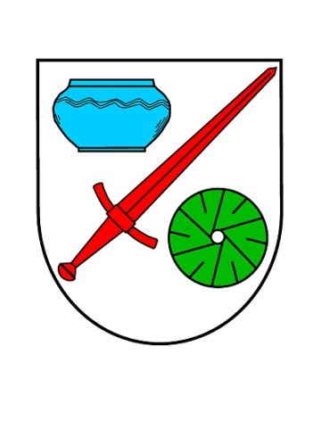
Wappen der Gemeinde Hohenfels-Essingen
Coats of Arms ID 23100
-
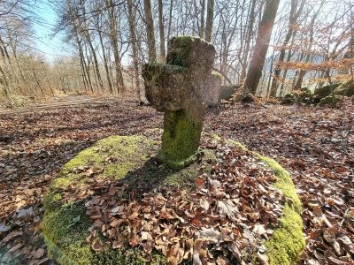
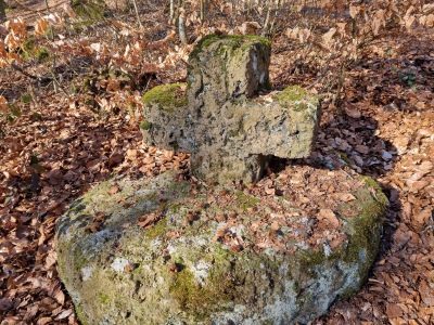
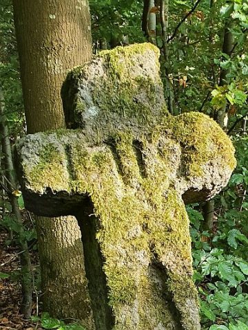
Wegekreuz
Religious Buildings Wayside Shrines and Stations of the Cross ID 27885
-
Wegekreuz
Religious Buildings Wayside Shrines and Stations of the Cross ID 33570
-
Wegekreuz
Religious Buildings Wayside Shrines and Stations of the Cross ID 33571
-
Wegekreuz
Religious Buildings Wayside Shrines and Stations of the Cross ID 33573
-
Wegekreuz
Religious Buildings Wayside Shrines and Stations of the Cross ID 50396
-
Wegekreuz am Mühlenberg
Religious Buildings Wayside Shrines and Stations of the Cross ID 33572
-
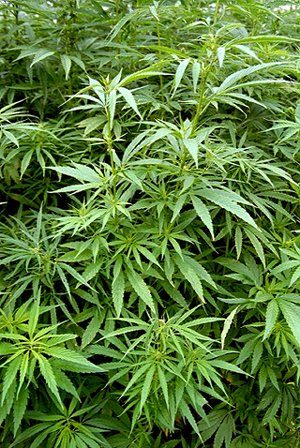
Hanfsberg
Field Names ID 27848
-
Wegekreuz
Religious Buildings Wayside Shrines and Stations of the Cross ID 33575
-
Römische Villenanlage
Settlements Settlements ID 12664
-
Auf der Kirchhard
Field Names ID 46088
-
Bergheiligtum auf dem Kaselberg
Religious Buildings Temples, Sanctuaries ID 17623
-
Brandgräber
Burials Cremation Graves ID 12966
-
Gallo-römisches Heiligtum
Religious Buildings Temples, Sanctuaries ID 12965
-
Im Kastels Sur
Field Names ID 40796
-
Im Kastels Sur
Field Names ID 40797
-
Im Krohwinkel
Field Names ID 39663
-
Kaiserlinde mit Gedenkstein
Markers and Monuments Commemorative Plantings ID 6929
-
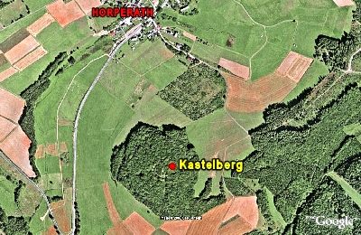
Kastelberg
Viewpoints ID 4842
-
Kastelberg
Gipfelburg (doppelter Ringwall)
Fortifications and Military Sites Hilltop Castles ID 5808
-
Ortsgeschichte Horperath
Place Names / Local History ID 3112
-
Quereinhaus
Residential and Farm Buildings Farmhouses and Farm Buildings ID 34168
-
Römischer Tempelbezirk bei Horperath
Religious Buildings Temples, Sanctuaries ID 10080
-
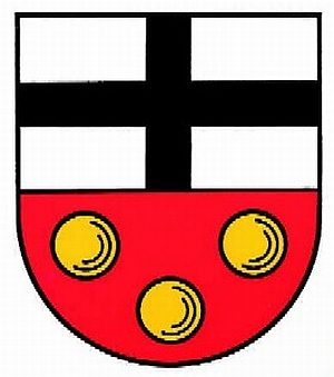
Wappen der Gemeinde Horperath
Coats of Arms ID 10059
-
Wegekreuz
Religious Buildings Wayside Shrines and Stations of the Cross ID 26335
-
Wohnhaus
Residential and Farm Buildings Farmhouses and Farm Buildings ID 34167
-
Kapelle
Religious Buildings Chapels ID 33010
-
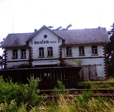
Stationsgebäude
Engineering Structures and Industrial Sites Railways ID 5049
-
Auf dem Hundshügel
Field Names ID 44537
-
Auf dem Oberviertel
Field Names ID 42550