Thalfang am Erbeskopf
1,120 heritage sites in the collective municipality of Thalfang am Erbeskopf in the Kulturdatenbank Region Trier.
The map shows all 1,120 results.
-
Ober der Kirchenwies
Field Names ID 46355
-
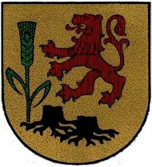
Wappen der Gemeinde Rorodt
Coats of Arms ID 3546
-
Aussichtspunkt nördlich Bescheidermühlen
Viewpoints ID 4384
-
Dorfwüstung Bach
Settlements Deserted Settlements ID 13807
-
Ehemalige Gätsch-Mühle am Mühlenbach
Engineering Structures and Industrial Sites Mills ID 44668
-
Ehemaliger Meilerplatz
Economy, Trade and Transport Charcoal Kilns ID 57353
-
Ehemaliger Meilerplatz
Economy, Trade and Transport Charcoal Kilns ID 57354
-
Ehemaliger Meilerplatz
Economy, Trade and Transport Charcoal Kilns ID 57355
-
Ehemaliger Meilerplatz
Economy, Trade and Transport Charcoal Kilns ID 57356
-
Ehemaliger Meilerplatz
Economy, Trade and Transport Charcoal Kilns ID 57357
-
Ehemaliger Meilerplatz
Economy, Trade and Transport Charcoal Kilns ID 57358
-
Ehemaliger Meilerplatz
Economy, Trade and Transport Charcoal Kilns ID 57359
-
Ehemaliger Schiefer-Bruch Edersberg
Economy, Trade and Transport Extraction and Processing of Raw Materials ID 18934
-
Ehemaliger Schiefer-Bruch Edersberg
Economy, Trade and Transport Extraction and Processing of Raw Materials ID 40996
-
Ehemaliger Schiefer-Bruch Edersberg
Economy, Trade and Transport Extraction and Processing of Raw Materials ID 40997
-
Ehemaliger Schiefer-Bruch Edersberg
Economy, Trade and Transport Extraction and Processing of Raw Materials ID 40998
-
Ehemaliger Schiefer-Bruch Edersberg
Economy, Trade and Transport Extraction and Processing of Raw Materials ID 40999
-
Hinter dem Flachsfeld
Field Names ID 36079
-
Hinter dem Holländer
Field Names ID 42781
-
In der Hostert
Field Names ID 27910
-
In der Kirchenwies
Field Names ID 46228
-
In der Perg
Field Names ID 34225
-
In der Perg Trütschel
Field Names ID 34207
-
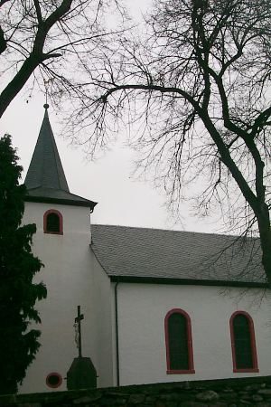
Kapelle an der Kreisstraße 108
Religious Buildings Chapels ID 25395
-
Kuckucksfelsen
Rocks ID 7387
-
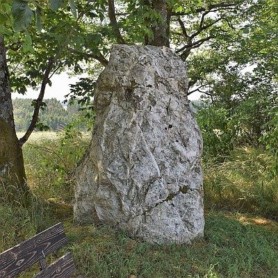
Menhir an der Trafostation
Standing Stones, Menhirs ID 5842
-
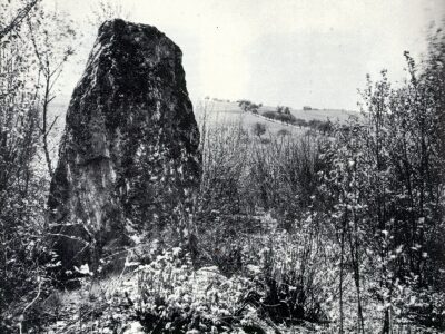
Menhir nördlich des Ortes
Standing Stones, Menhirs ID 5851
-
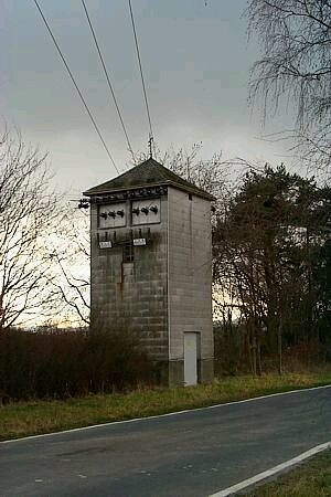
Trafostation
Economy, Trade and Transport Catering, Inns and Hotels ID 5871
-
Unter der Glaus
Field Names ID 39044
-
Vor Hostert
Field Names ID 27924
-
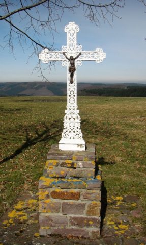
Wegekreuz
Religious Buildings Wayside Shrines and Stations of the Cross ID 25880
-
Wegekreuz am Sportplatz
Religious Buildings Wayside Shrines and Stations of the Cross ID 25881
-
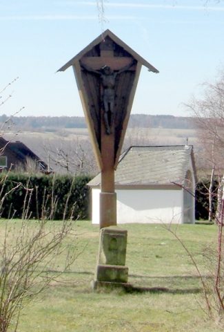
Wegekreuz an der Kreisstraße 108
Religious Buildings Wayside Shrines and Stations of the Cross ID 25396
-
Auf Gosperter Drieschen
Field Names ID 33922
-
Auf Kollert
Field Names ID 44414
-
Auf Mergenrechhag
Field Names ID 29666
-
Auf Pfaffenrech
Field Names ID 29056
-
Auf dem Gosperter Flürchen
Field Names ID 33923
-
Auf den Kirschbaumdrieschen
Field Names ID 29514
-
Beim Gosperter Born
Field Names ID 31052
-
Beim Hübelborn
Field Names ID 31077
-
Beim Mergenrechborn
Field Names ID 29664
-
Beim hintersten Born
Field Names ID 31061
-
Die Mark Thalfang
Place Names / Local History ID 3563
-
Ehemalige Lehmgrube
Economy, Trade and Transport Extraction and Processing of Raw Materials ID 40995
-
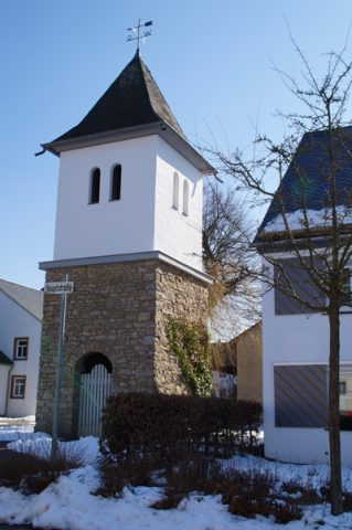
Glockenturm
Religious Buildings Bell Towers ID 25018