20th Century
5,980 heritage sites from the period 20th Century: 1918 to 2000.
The map shows all 5,980 results.
-
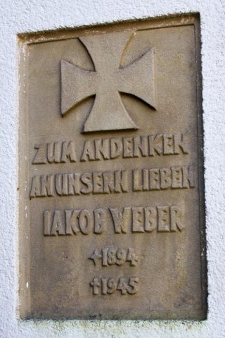
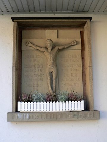
Gedenktafel
Markers and Monuments Monuments ID 48149
-
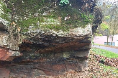
Gedenktafel am Sportplatz
Markers and Monuments Monuments ID 52115
-
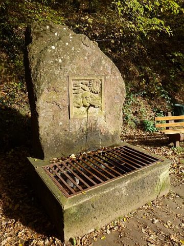
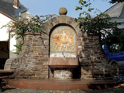
Hexenbrunnen
Fountains and Wells Works of Art ID 23677
-
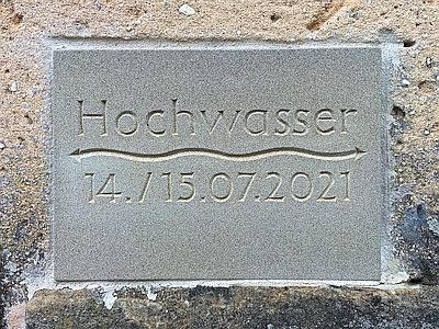
Hochwassermarke
Markers and Monuments Flood Marks ID 52410
-
Hochwassermarke
Markers and Monuments Flood Marks ID 57417
-
Hochwassermarken am Kreuzfeld
Markers and Monuments Flood Marks ID 36117
-
Hött's Garten
Historic Townscapes ID 47981
-
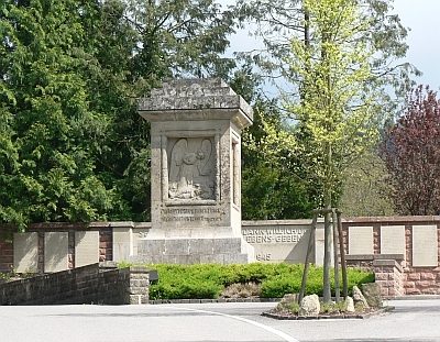
Kriegerehrenmal am Friedhof
Markers and Monuments War Memorials ID 3970
-
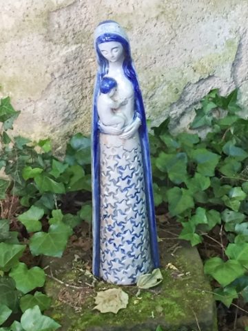
Mariengrotte
Religious Buildings Marian Grottoes ID 52562
-
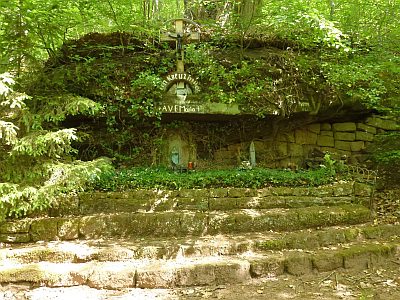
Mariengrotte auf dem Dalien
Religious Buildings Marian Grottoes ID 38651
-
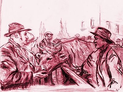
Marktort Cordel
Economy, Trade and Transport Market Towns ID 32456
-
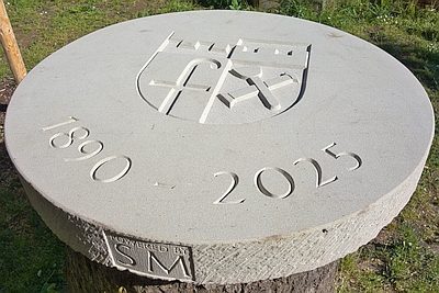
Mühlstein auf einem Baumstumpf
Markers and Monuments Monuments ID 57638
-
Müllersfeld
Field Names ID 47908
-
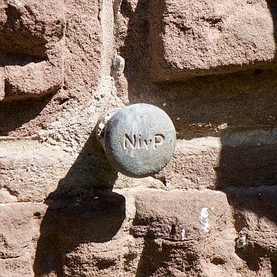
Nivellementfestpunkt am alten Forsthaus
Markers and Monuments Surveying ID 49592
-
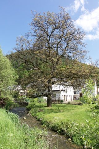
Nussbaum an der Furt durch den Altbach
Trees Walnut Trees ID 52524
-
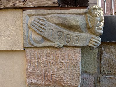
Sankt Amandus u. Sankt Vedastus - Männchen
Katholische Pfarrkirche
Religious Buildings Works of Art ID 33140
-
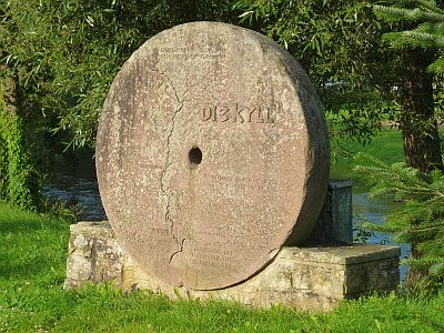
Schleifstein-Denkmal an der Kyllbrücke
Markers and Monuments Monuments ID 2465
-
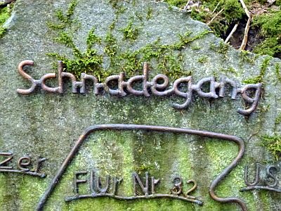
Schnadegang-Stein
Markers and Monuments Surveying ID 18930
-
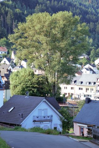
Schwarz-Pappel an der Kyll
Trees Poplars ID 48039
-
Schwarzer Punkt - Ehemalige Hochwassermarke
Markers and Monuments Flood Marks ID 47902
-
Sogenannter Russenweg
Place Names / Local History Street Names ID 35508
-
Spang's Garten
Historic Townscapes ID 47980
-
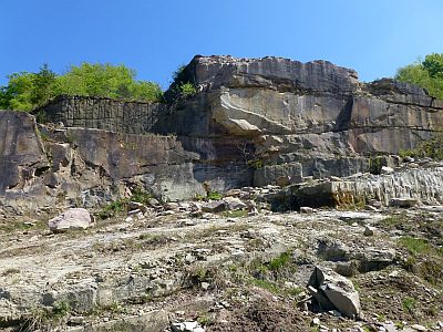
Steinbruch am Steinkopf
Economy, Trade and Transport Extraction and Processing of Raw Materials ID 18952
-
Trigonometrischer Punkt an der Pfarrkirche
Markers and Monuments Surveying ID 47990
-
Unfallkreuz
Religious Buildings Wayside Shrines and Stations of the Cross ID 10664
-
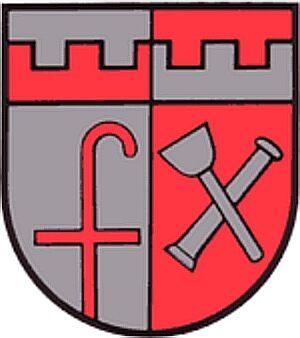
Wappen der Gemeinde Kordel
Coats of Arms ID 2635
-
Waschbrett - Ehemaliger Waschplatz an der Kyll
Historic Townscapes Washing Places ID 47982
-
Wegebild
Religious Buildings Wayside Shrines and Stations of the Cross ID 10663
-
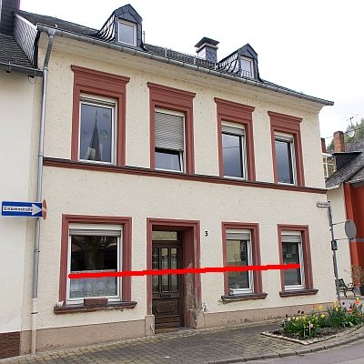
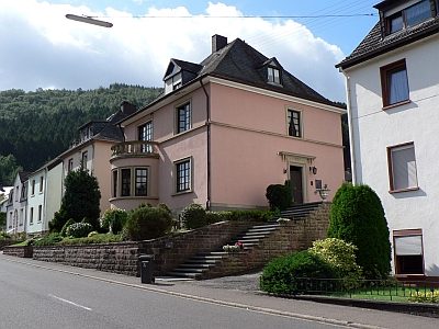
Wohnhaus
Residential and Farm Buildings Town Houses and Commercial Buildings ID 10175
-
Ehemalige Brücke über die Kyll
Economy, Trade and Transport Road Transport ID 40503
-
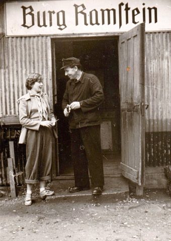
Ehemaliger Bahnhaltepunkt Burg Ramstein
Bahn-Km 159,7
Engineering Structures and Industrial Sites Railways ID 18634
-
Brücke über den Kimmlinger Bach - Inschrift
Markers and Monuments Inscriptions ID 48357
-
Ehemalige Sandgrube unter der Hochburg
Economy, Trade and Transport Extraction and Processing of Raw Materials ID 10178
-
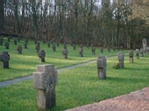
Heldenfriedhof
Parks, Gardens and Cemeteries War Cemeteries ID 7302
-
Burgberg
Vineyard Sites ID 45874
-
Europabrunnen
Fountains and Wells Works of Art ID 14664
-
Halsbach
Vineyard Sites ID 45878
-
Höhl
Vineyard Sites ID 45875
-
Klosterberg
Vineyard Sites ID 45876
-
Kreuzweg zur Bergkapelle - 1. Station
Jesus wird zum Tode verurteilt
Religious Buildings Wayside Shrines and Stations of the Cross ID 14669
-
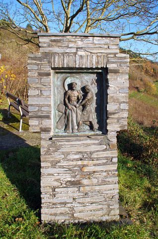
Kreuzweg zur Bergkapelle - 10. Station
Jesus wird seiner Kleider beraubt
Religious Buildings Wayside Shrines and Stations of the Cross ID 14677
-
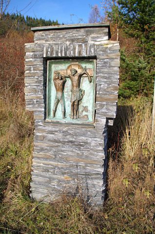
Kreuzweg zur Bergkapelle - 11. Station
Jesus wird ans Kreuz genagelt
Religious Buildings Wayside Shrines and Stations of the Cross ID 14678
-
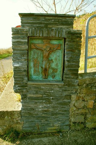
Kreuzweg zur Bergkapelle - 12. Station
Jesus stirbt am Kreuz
Religious Buildings Wayside Shrines and Stations of the Cross ID 14679
-
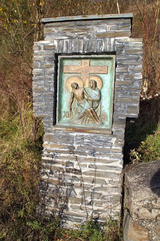
Kreuzweg zur Bergkapelle - 13. Station
Jesus wird vom Kreuz genommen
Religious Buildings Wayside Shrines and Stations of the Cross ID 14680
-
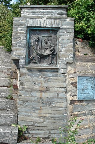
Kreuzweg zur Bergkapelle - 14. Station
Der heilige Leichnam Jesu wird ins Grab gelegt
Religious Buildings Wayside Shrines and Stations of the Cross ID 14681
-
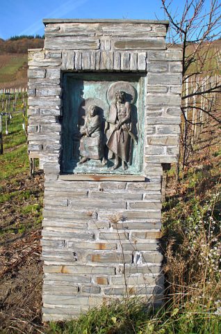
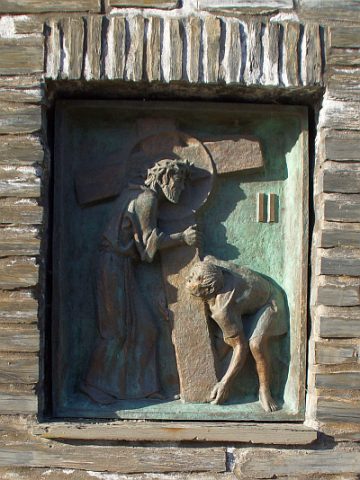
Kreuzweg zur Bergkapelle - 2. Station
Jesus nimmt das Kreuz auf seine Schultern
Religious Buildings Wayside Shrines and Stations of the Cross ID 14670