Gerolstein
3,905 heritage sites in the collective municipality of Gerolstein in the Kulturdatenbank Region Trier.
The map shows all 3,905 results.
-
In der Kyllwaldsdell
Field Names ID 45309
-
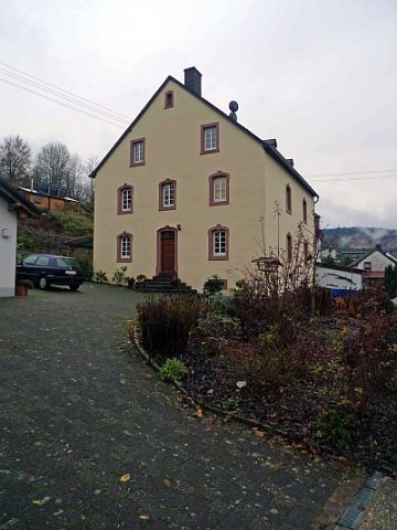
Katholisches Pfarrhaus
Administrative Buildings Rectories ID 16403
-
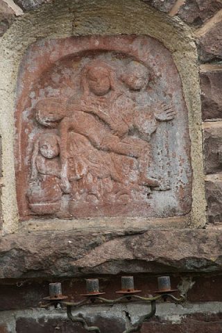
Katholisches Pfarrhaus - Bildnische mit Pietà
Religious Buildings Wayside Shrines and Stations of the Cross ID 43000
-
Kaulenborn
Field Names ID 31879
-
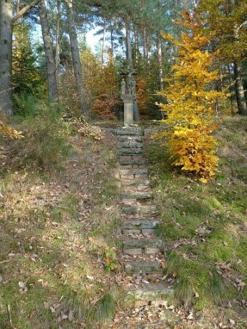
Kreuz Aufm Vogelsberg
Religious Buildings Wayside Shrines and Stations of the Cross ID 17653
-
Kyllheld
Field Names ID 40149
-
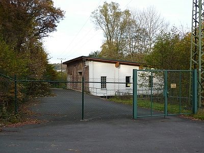
Kyllkraftwerk Densborn
Economy, Trade and Transport Catering, Inns and Hotels ID 16350
-
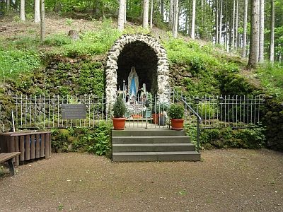
Lourdesgrotte
Religious Buildings Marian Grottoes ID 25134
-
Nonnenbüsch
Field Names ID 36390
-
Oberm Erzweg
Field Names ID 36149
-
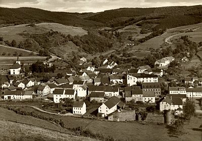
Ortsgeschichte Densborn
Place Names / Local History ID 1576
-
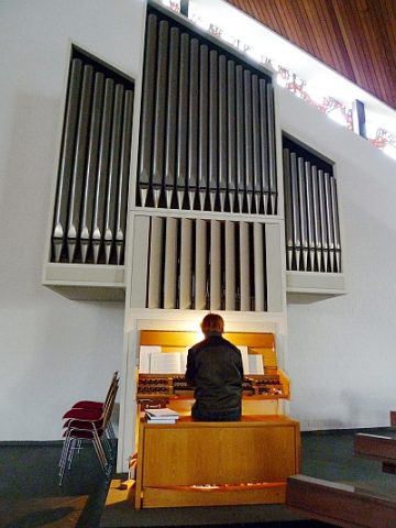
Sankt Maria Magdalena - Orgel
Organs ID 17703
-
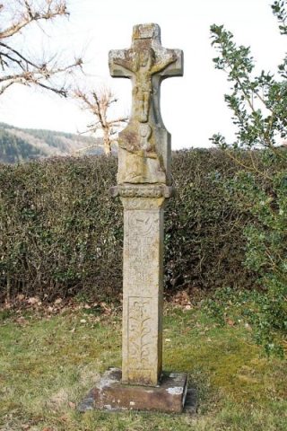
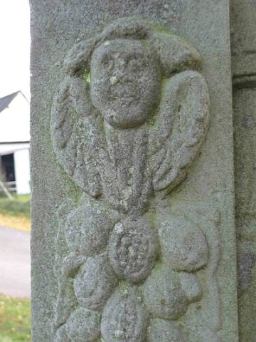
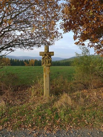
Schaftkreuz von 1633 (1)
Religious Buildings Wayside Shrines and Stations of the Cross ID 17689
-
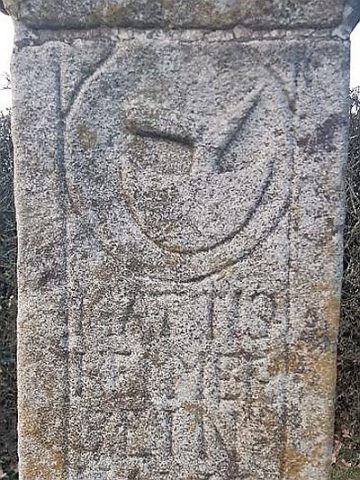
Schaftkreuz von 1633 (2)
Religious Buildings Wayside Shrines and Stations of the Cross ID 50362
-
Trigonometrisches Signal auf Pratscheid
Markers and Monuments Surveying ID 44567
-
Unter der Hundskaul
Field Names ID 44453
-
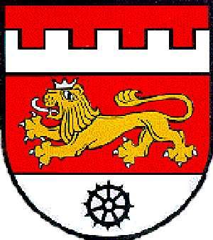
Wappen der Gemeinde Densborn
Coats of Arms ID 1577
-
Wasserburg
Fortifications and Military Sites Castles ID 921
-
Wegekreuz
Religious Buildings Wayside Shrines and Stations of the Cross ID 17678
-
Wegekreuz
Religious Buildings Wayside Shrines and Stations of the Cross ID 26438
-
Wegekreuz
Religious Buildings Wayside Shrines and Stations of the Cross ID 26439
-
Wegekreuz
Religious Buildings Wayside Shrines and Stations of the Cross ID 26440
-
Wegekreuz
Religious Buildings Wayside Shrines and Stations of the Cross ID 28500
-
Wegekreuz an der Bitburger Straße
Religious Buildings Wayside Shrines and Stations of the Cross ID 17694
-
Wegekreuz vor der Kirche
Religious Buildings Wayside Shrines and Stations of the Cross ID 17692
-
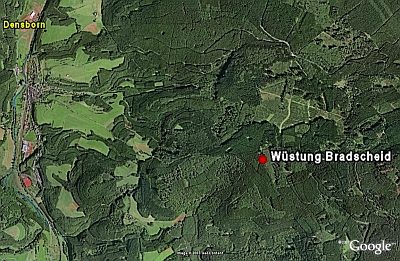
Wüstung Bradscheid
Settlements Deserted Settlements ID 922
-
Kreuz am Jagdhaus Hubertusgrund
Religious Buildings Wayside Shrines and Stations of the Cross ID 17655
-
Kreuzigungsbildstock am Lindenhof (1)
Religious Buildings Wayside Shrines and Stations of the Cross ID 17657
-
Kreuzigungsbildstock am Lindenhof (2)
Religious Buildings Wayside Shrines and Stations of the Cross ID 17660
-
Wegekreuz am Weg zum Kleinen Noll
Religious Buildings Wayside Shrines and Stations of the Cross ID 17661
-
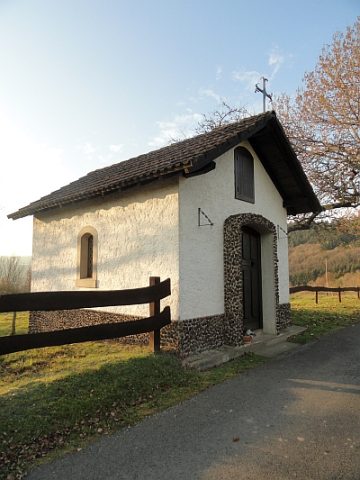
Kapelle am Nollberger Hof
Religious Buildings Chapels ID 17664
-
Auf der Acht
Field Names ID 35429
-
Auf der untersten Acht
Field Names ID 35428
-
Dohmer Mühle am Lindenbach
Engineering Structures and Industrial Sites Mills ID 11723
-
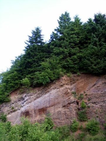
Giesenheld-Vulkan
Geological Features Volcanoes ID 6789
-
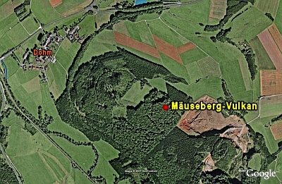
Mäuseberg-Vulkan
Geological Features Volcanoes ID 6779
-
Mühlsteinbruch Beilstein
Economy, Trade and Transport Extraction and Processing of Raw Materials ID 24138
-
Mühlsteinbruch Giesenheld
Economy, Trade and Transport Extraction and Processing of Raw Materials ID 24171
-
Nischenkreuz
Religious Buildings Wayside Shrines and Stations of the Cross ID 34143
-
Reste einer Burgstelle
Fortifications and Military Sites Town Fortifications ID 4043